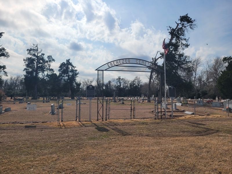
By James Hulse, February 13, 2026
James Alfred Head Marker
RANKED BY RELEVANCE
| On Ebenezer Cemetery Rd (County Road 714) 1 mile south of State Highway 7, on the right when traveling south. |
| Near Boonville Road 0.1 miles east of Austins Colony Parkway. |
| Near North Texas Avenue at North Washington Avenue, on the right when traveling north. |
| On Ross Street east of Houston St. |
| Near East 26th Street at North Washington Avenue, on the right when traveling west. |
| Near Boonville Road 0.1 miles east of Austins Colony Parkway. |
| Near East 26th Street at North Washington Avenue, on the right when traveling west. |
| Near Boonville Road (Farm to Market Road 158) 0.1 miles east of Austins Colony Parkway. |
| On Ebenezer Cemetery Rd (County Road 714) 1 mile south of State Road 7, on the right when traveling south. |
| Near East 26th Street at North Washington Avenue, on the right when traveling west. |
| Near Turkey Creek Road at Raymond Stotzer Frontage, on the left when traveling north. |
| Near North Texas Avenue at North Washington Avenue. |
| On High Prairie Road 1.6 miles west of Wellborn Road (Farm to Market Road 2154), on the right when traveling west. |
| On Turkey Creek Road at Raymond Stotzer Frontage, on the left when traveling north on Turkey Creek Road. |
| On County Road 264 north of County Road 364, on the right when traveling north. |
| Near Boonville Road 0.1 miles east of Austins Colony Parkway. |
| On North Houston Avenue north of East 22nd Street, on the right when traveling north. |
| On East 26th Street west of North Texas Avenue (Local Road 68), on the right when traveling west. |
| On Texas Avenue South 1.4 miles north of Texas Highway 6, on the right when traveling south. |
| On Turkey Creek Road at Raymond Stotzer Frontage, on the left when traveling north on Turkey Creek Road. |
| Near Greens Prairie Road (Victoria Avenue) 0.2 miles east of Wellborn Road (Farm to Market Road 2154), on the left when traveling west. |
| Near Boonville Road 0.1 miles east of Austins Colony Parkway. |
| On East Pruitt Street at North Preston Avenue, on the right when traveling west on East Pruitt Street. |
| On Avenue D at 5th Street, on the left when traveling south on Avenue D. |
| Near Boonville Road (County Road 158) west of Curtis, on the right when traveling west. |
| On Drummond Cemetery Road (County Road 316) 0.4 miles north of Butterfield School Road (County Road 290), on the right when traveling north. |
| On Waco Street south of State Road 21, on the left when traveling south. |
| On Brazoswood Drive at Frontage State Highway 6 Frontage Road, on the left when traveling west on Brazoswood Drive. |
| On Dulles Avenue at Viking Lane, on the right when traveling south on Dulles Avenue. |
| On North Earl Rudder Freeway 0.1 miles south of State Road 21, on the right when traveling south. |
| On East 26th Street at North Washington Avenue, on the right when traveling west on East 26th Street. |
Thin black lines indicate changes in relevance. Between each pair of lines entries are ordered geographically but all have the same relevance.* Inflectional forms of words are their plurals, singulars, and possessives as well as gramatical tenses and similar variations.
Nov. 12, 2026
