After filtering for North Dakota, 36 entries match your criteria.
Exploration Topic
By Ruth VanSteenwyk, August 15, 2017
Custer and Hiddenwood Cliff Marker
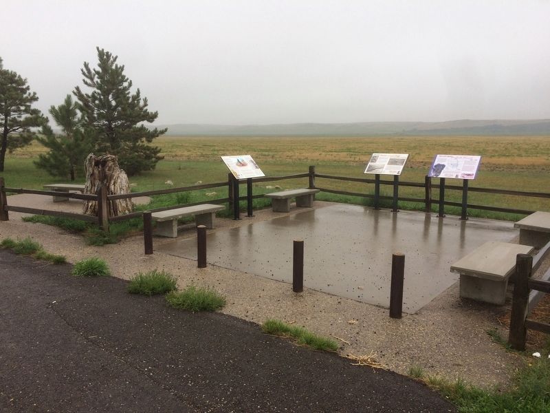
| 1 ► North Dakota, Adams County, Hettinger — Custer and Hiddenwood Cliff — |
| On U.S. 12, 0.5 miles north of 40th Ave SE. | |||
| 2 ► North Dakota, Billings County, Medora — Custer Trail — |
| On Pacific Avenue at 3rd Street, on the left when traveling west on Pacific Avenue. | |||
| 3 ► North Dakota, Billings County, Medora — 9 — Hunting and Trapping — |
| On Pacific Avenue at 3rd Street, on the right when traveling east on Pacific Avenue. | |||
| 4 ► North Dakota, Bottineau County, Bottineau — Pierre Bottineau — Voyageur - Trapper - Guide — 1/1/1817 - 7/27/1895 — |
| On 5th Street West just west of Ohmer Street, on the right when traveling west. | |||
| 5 ► North Dakota, Burleigh County, Bismarck — Double Ditch State Historic Site — |
| Near North Dakota Route 1804, on the right when traveling south. | |||
| 6 ► North Dakota, Burleigh County, Bismarck — Double Ditch State Historic Site — |
| On North Dakota Route 1804, 1.1 miles south of Double Ditch Loop. | |||
| 7 ► North Dakota, Burleigh County, Bismarck — Sakakawea Statue — |
| On East Boulvard Avenue. | |||
| 8 ► North Dakota, Burleigh County, Bismarck — Square Buttes — Double Ditch State Historic Site — |
| Near North Dakota Route 1804. | |||
| 9 ► North Dakota, Cass County, Fargo, Downtown — Wildlife in the Red River Valley — |
| On 2nd Avenue North at Broadway North, on the right when traveling east on 2nd Avenue North. | |||
| 10 ► North Dakota, Dickey County, Oakes — Hudson Townsite — |
| On 108th Avenue Southeast at 91st St SE, on the right when traveling north on 108th Avenue Southeast. | |||
| 11 ► North Dakota, Griggs County, Binford — Lake Jessie Historic Site — |
| Near 9th Street Northeast near 107th Avenue Northeast. | |||
| 12 ► North Dakota, McLean County, Garrison — Land of Strange Disappearances — |
| On North Dakota Route 37 near U.S. 83, on the left when traveling west. | |||
| 13 ► North Dakota, McLean County, Washburn — Below the Freezing Point — |
| Near 8th Street Southwest (County Road 17) near 28th Avenue Southwest (State Road 23), on the right when traveling west. | |||
| 14 ► North Dakota, McLean County, Washburn — Early Boats on the Missouri — Washburn Discovery Trail/Lewis & Clark Legacy Trail — |
| Near 8th Street Southwest just west of State Highway 200, on the left when traveling west. | |||
| 15 ► North Dakota, McLean County, Washburn — Fort Mandan — Lewis & Clark in North Dakota — McLean County — |
| Near 8th Street Southwest (County Road 17) near 29th Avenue Southwest (County Highway 23), on the left when traveling west. | |||
| 16 ► North Dakota, McLean County, Washburn — Fort Mandan — |
| Near 8th Street Southwest (County Road 17) near 28th Avenue Southwest (County Road 23), on the right when traveling west. | |||
| 17 ► North Dakota, McLean County, Washburn — Mandan Winter / Harmony Park — |
| On 8th Street Southwest near State Highway 200, on the left when traveling north. | |||
| 18 ► North Dakota, McLean County, Washburn — Men of Worth — |
| Near 8th Street Southwest (County Highway 17) near 28th Avenue Southwest (County Highway 23), on the left when traveling north. | |||
| 19 ► North Dakota, McLean County, Washburn — Seaman — |
| 20 ► North Dakota, Mercer County, Stanton — Fort Mandan Overlook — Fort Clark State Historic Site — |
| Near 37th Avenue Southwest near 12th Street Southwest (State Highway 200), on the right when traveling north. | |||
| 21 ► North Dakota, Mercer County, Stanton — Lewis & Clark at the Knife River Indian Villages — Lewis & Clark in North Dakota — |
| On County Route 31, on the right when traveling north. | |||
| 22 ► North Dakota, Morton County, Mandan — Cannonball Concretions — |
| On Fort Lincoln Road, on the left when traveling north. | |||
| 23 ► North Dakota, Morton County, Mandan — Mandan Scenic Overlook — Lewis & Clark in North Dakota — |
| On Interstate 94, 0.2 miles west of Sunset Drive Exit, on the right when traveling east. | |||
| 24 ► North Dakota, Morton County, Mandan — Slant Indian Village — |
| Near Fort Lincoln Road. | |||
| 25 ► North Dakota, Pierce County, Rugby — Geographical Center of North America — |
| On U.S. 2, on the right when traveling east. | |||
| 26 ► North Dakota, Ransom County, Eastedge — Standing Rock / Wonderful Wetlands — |
| Near North Dakota Route 46 west of 122nd Avenue Southeast. | |||
| 27 ► North Dakota, Ransom County, Eastedge — Standing Rock Hill Historic Site — |
| Near 54th Street Southeast (State Highway 46). | |||
| 28 ► North Dakota, Ransom County, Fort Ransom — Native Prairies / Ecosystem Under Siege — |
| Near Mill Road near Walt Hjelle Parkway. | |||
| 29 ► North Dakota, Richland County, Abercrombie — Ferry Crossing — |
| Near Broadway North near Abercrombie Street. | |||
| 30 ► North Dakota, Williams County, Williston — Lewis & Clark's America — Bringing Back The Past — |
| Near 39th Lane Northwest near 153rd Avenue Northwest. | |||
| 31 ► North Dakota, Williams County, Williston — Lewis and Clark Trail — |
| On Mondak Backroad 1 near 143rd Avenue Northwest (State Route 1804), on the left when traveling east. | |||
| 32 ► North Dakota, Williams County, Williston — Missouri-Yellowstone Confluence Area — Williams County — Lewis & Clark in North Dakota — |
| Near 39th Lane Northwest near 153rd Avenue Northwest. | |||
| 33 ► North Dakota, Williams County, Williston — Mosquitoes — Missouri-Yellowstone Confluence Interpretive Center — |
| Near 39th Lane Northwest near 153rd Avenue Northwest. | |||
| 34 ► North Dakota, Williams County, Williston — Plants of the Plains — Missouri-Yellowstone Confluence Interpretive Center — |
| Near 39th Lane Northwest near 153rd Avenue Northwest. | |||
| 35 ► North Dakota, Williams County, Williston — Stepping "Off the Map" in the Louisiana Territory — |
| On Mondak Backroad 1 near 143rd Avenue Northwest (State Route 1804), on the right when traveling east. | |||
| 36 ► North Dakota, Williams County, Williston — The Confluence — The Missouri and Yellowstone — |
| Near 39th Lane Northwest near 153rd Avenue Northwest. | |||