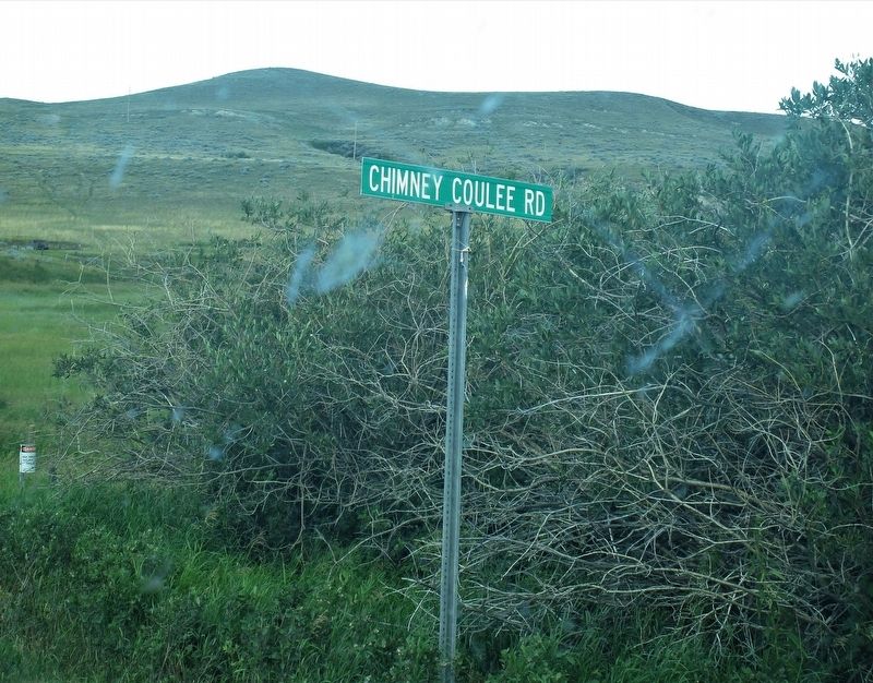
The piles of stone and mud scattered along the valley are the remains of chimneys which stood for many years to mark the sites of Metis cabins, trading posts and a police post. From the middle decades of the nineteenth century Metis hunters and . . . — — Map (db m205165) HM
For more than 50 years John Macoun was one of the leading naturalists in Canada. In 1872 he was appointed botanist to the Sandford Fleming Expedition. He died in 1920 after 27 years as Assistant Director and Naturalist to the Geological Survey of . . . — — Map (db m205152) HM
Pine Cree Park
Originally Bakers Coulee named after its founder Everett Baker
E. Baker was instrumental in forming the park which became part of the Saskatchewan Regional Park system in 1970. — — Map (db m205153) HM
On Miller Street at Portland St, on the right when traveling east on Miller Street.
Dedicated to the pioneers who built the
schools and former teachers and students.
Brown No. 1329
Dale No. 1391
Defiance No. 2612
Fiaata No. 1744
Gilbertson No. 1231
Green Mount No. 1702
Hagen No. 1651
Hayland No. 4139
Kolke No. . . . — — Map (db m293849) HM
On 4th Street at 2nd Avenue, on the right when traveling north on 4th Street.
In honour of all the veterans of Chaplin and surrounding areas who served both in Canada and overseas in past conflicts and peace keeping services around the world May their sacrifices never be forgotten They gave their all Dedicated this the . . . — — Map (db m201010) WM
On Proton Avenue (Provincial Highway 37) just south of Main Street (Provincial Highway 37), on the left when traveling south.
Arriving in Gull Lake in 1917-18, Wong Guy came to a town in turmoil. The Spanish Flu was raging, and despite being a brand new resident to the town, he took it upon himself to cook for the patients at the old brick school, which doubled as an . . . — — Map (db m201268) HM
On Saskatchewan 21 (Saskatchewan Route 21), on the left when traveling north.
In 1914, W.T. Smith built the largest barn on the North American continent. The barn was by a contractor from Brandon, Manitoba. The barn was 128 feet by 400 feet by 60 feet high.
Material used for construction:
*875,000 board feet of . . . — — Map (db m288973) HM
On Saskatchewan Route 21, on the left when traveling north.
St. John's School
NE 1/4 4-21-26 W3M
St. John's School was built in 1924. The student count at that time was 38.
St. John's was the only parochial school in the Missouri Synod of the Lutheran
Church in Saskatchewan. In 1942 St. . . . — — Map (db m286086) HM
On Saskatchewan Route 271 west of Highway 615, on the right when traveling west.
Cypress Hills Massacre National Historic Site
Cypress Hills Massacre National Historic Site was designated in 2006, and commemorates the memory and legacy of the Nakoda people who died there at the hands of wolf hunters and whiskey . . . — — Map (db m289891) HM
On Saskatchewan Route 271 6.9 kilometers east of Highway 615, on the right when traveling west.
Born at Prescott, Upper Canada, James Morrow Walsh was appointed a Superintendent of the North-West Mounted Police in 1873. He recruited, trained and led part of the new police force and held commands at Fort Walsh, which he founded in . . . — — Map (db m289889) HM
On Maple Street just north of 1 Avenue, on the right when traveling north.
On May 23, 1873 the Canadian Parliament passed a bill to form the North West Mounted Police. This force might not have became a reality except that on June 1, 1873 a small group of whites attacked an Indian encampment in the Cypress Hills [near . . . — — Map (db m202631) HM
On McKenzie Street just south of Prairie Avenue, on the right when traveling south.
Morse School District #1921 Organized 1907 Morse School built in 1912. Architects: Reilly, Dawson, Hancock & Reilly Contractor: J.H. Leeby Bell moved from 1908 school to present belfry. Florence Wood and Leslie Ogden first to graduate in 1924. . . . — — Map (db m201011) HM
On Main Street (Provincial Highway 718) at Short Road, on the right when traveling north on Main Street.
Built in 1920, the Ambroz Blacksmith Shop is the oldest, fully furnished blacksmith shop in Saskatchewan still on its original site. Frank Ambroz, a local blacksmith, purchased the business in 1928 and operated it for the next sixty years. Like . . . — — Map (db m204884) HM
On Main Street (Provincial Highway 718) at Short Road, on the right when traveling north on Main Street.
Dedicated to the memory of Frank Ambroz and to his wife Mary. Frank learned the blacksmith trade in Poland; he came to Canada in 1926 and served the community as a blacksmith for 60 years. He died in 1986.
Always a faithful supporter of the . . . — — Map (db m205022) HM
On Snowbird Highway (National Highway 2) at Miles Selby Rd, on the left when traveling west on Snowbird Highway.
This cairn is dedicated in memory of those who served at No.2 Bombing and Gunnery School, Mossbank, during World War II. Between October 28, 1940 and December 15, 1944 the school trained 2, 539 air bomber and 3,702 air gunner students of whom . . . — — Map (db m204860) HM WM
On Snow Bird Highway (National Highway 2) at un-named, un-numbered, on the right when traveling south on Snow Bird Highway.
Mossbank Pioneer Post Office
NW ¼ 12-11-30 W2M
Beginning in September 1909, this site was the location of the Mossbank Post Office. The Post Office was housed in the pioneer home of Robert & Louise Jolly. “Bob” Jolly served as Post Master, . . . — — Map (db m204874) HM
Near Provincial Highway 4 7 kilometers north of Provincial Highway 738, on the left when traveling north.
Saskatchewan Landing has been the main north-south crossing of the South Saskatchewan for generations. Indians regularly forded the river here, and Métis buffalo-hunters turned their Red River carts into boats and paddled across. In 1883 a . . . — — Map (db m201051) HM
On Lorne Street West at 2nd Avenue NW, on the right when traveling west on Lorne Street West.
The Court House is one of the best historical landmarks in Swift Current. Designed by Raymond Philbrick, its construction began in 1913 and was completed in 1916. It was the first provincial building constructed outside of Regina dedicated to serve . . . — — Map (db m196930) HM
On 3 Avenue Northeast just north of Chaplin Street East, on the right when traveling north.
Dedicated in 1913, this church’s architecture reveals a gothic influence. The structure began as the home of the Knox Presbyterian Church. After the Metropolitan Methodist Church burned down in 1946, the Knox Presbyterians and the Metropolitan . . . — — Map (db m202461) HM
Near Trans-Canada Highway (Provincial Highway 1) 10 kilometers west of Allowance Road West (Provincial Road 632), on the left when traveling west.
Named for the herds of Pronghorn Antelope that roamed the prairies. 1900-1906 it was situated north of the C.P.R. track and listed as a siding 538 miles west of Winnipeg in the Northwest Territories. A town site almost directly south of here was . . . — — Map (db m201114) HM
Near Trans-Canada Highway (Provincial Highway 1) 10 kilometers west of Allowance Road West (Provincial Road 632), on the left when traveling west.
The school district was formed June 17, 1918. The school was built in 1919 on Sec. 1-14-18 W3 just to the south of the Hamlet of Antelope. Opening January 26, 1920 and in operation continuously until June 30, 1963. At one time 42 students, grades . . . — — Map (db m201115) HM
Near Trans-Canada Highway (National Highway 1) 6 kilometers east of Provincial Highway 37, on the right when traveling east.
This trail approximated the route of the C.P.R., and after 1883 was an important patrol route of the N.W.M.P. linking Divisional Headquarters at Maple Creek and the Swift Current Detachment. Used by pioneer ranchers and homesteaders well into the . . . — — Map (db m201262) HM
On Saskatchewan 4 (Saskatchewan Route 4), on the right when traveling north.
In the mid 19th century the trail, which passed near here, was the major route linking the Cypress Hills and Fort Qu'Appelle. Fur traders used it to transport the provisions, which they had acquired through trade or hunting, back to Fort Qu'Appelle. . . . — — Map (db m288971) HM