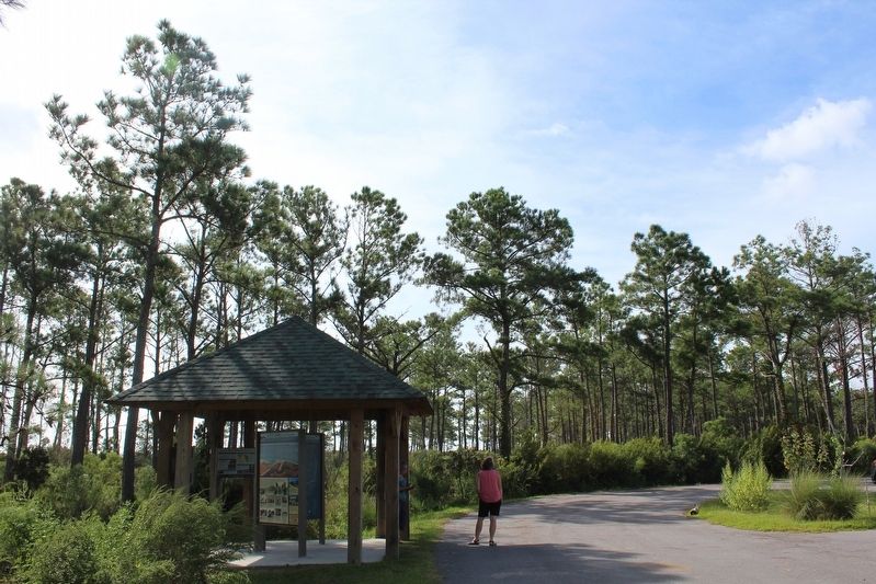
On U.S. 70 east of Merrimon Road, on the right when traveling east.
Ocracoke is an overwhelming step back in time, a mix of old traditions and community spirit infused with a steady flow of visitors from around the world. No community loves a good story more than Ocracoke, and locals can tell a tale with great . . . — — Map (db m212921) HM
On U.S. 70 east of Merrimon Road, on the right when traveling south.
Technically part of the mainland, Down East is a larger peninsula made of several smaller peninsulas. Down East communities were once settlements that emerged on the high ground between marches. Small bridges spanning creeks still define community . . . — — Map (db m212923) HM
On U.S. 70 west of Horsehoe Road, on the right when traveling west.
Davis was first settled by four families in the early 1700s. Though the main occupations were a combination of farming and fishing its fame was its waterfowl legacy.
Waterfowl meat was in demand in urban America and supplied by market hunters. . . . — — Map (db m226096) HM
On Pigott Road at Ferry Dock Road, on the left when traveling west on Pigott Road.
Gloucester was once called “Up Straits”. It was an extension of Straits until 1915 when a post office was suggested for the community. A different name was required by the Postal Service and community leader and freight boat Captain Joe Pigott, . . . — — Map (db m213051) HM
On Island Road (County Highway 1335) north of Pintail Lane, on the left when traveling north.
In 1895, fewer than 30 families lived here. The residents of Shackleford Banks, across Back Sound and south of Harkers Island, began an exodus after the 1899 hurricane hit. The majority settled here. These relocated bankers were shore whalers . . . — — Map (db m213054) HM
Near Marshallberg Road south of Woody Road, on the right when traveling south.
The body of water that borders the southern shore of Marshallberg is called “The Straits”. Core Sound runs northeast to southwest down the east side of Marshallberg and separates Core Banks from the mainland, providing important fishing grounds for . . . — — Map (db m212940) HM
On U.S. 70 at Otway Farm Road, on the right when traveling east on U.S. 70.
Otway’s first residents migrated northward from the Straits area in the 1700s. The rich farmland and access to water teeming with fish, crabs, and oysters made it desirable for homesteading.
A 1932 Beaufort newspaper recounts a fall ritual . . . — — Map (db m212875) HM
On Hill Road east of U.S. 70, on the left when traveling east.
In the 1820s, Smyrna was once called Jarrett’s Bay. It included Williston and an area to the south called Tusk. Community members renamed in Smyrna around 1836. Smyrna was one of the few communities whose name was not changed by the US Post Office. . . . — — Map (db m212939) HM
On U.S. 70 north of Emilee Lane, on the left when traveling south.
The first deeded property was in 1752 to William Salter. The early settlers called this area, Piney Point, for the piece of wooded land which jutted out into Core Sound and served as a navigational day mark. With the establishment of the post office . . . — — Map (db m212872) HM
On Straits Road at Black Bear Lane, on the right when traveling south on Straits Road.
This region from the mouth of North River to Core Sound was known is colonial times as, “The Straits of Core Sound”. Eventually, three different communities would evolve from this area: Straits, Gloucester, and Marshallberg.
New Englanders were . . . — — Map (db m213052) HM
On U.S. 70 north of Donnie Davis Road, on the right when traveling south.
Williston’s first settlers came in 1723. Life was self-sustaining with no large industry until 200 years later when the Willis Brothers Seafood Company was formed. This clam, scallop and fish house became the main employer for Williston and . . . — — Map (db m212874) HM
On State Highway 12 at Yucca Street, on the left when traveling north on State Highway 12.
Avon was first called Kinnakeet. The name was changed by the post office in 1883 but locals to this day call themselves Kinnakeeters. The name comes from its first settlers, the Algonquian Indians.
For most of its early existence, Kinnakeet was . . . — — Map (db m190966) HM
On North Carolina Route 12 0.2 miles west of Buxton Road, on the left when traveling west.
…the home of the “wave Magnet”.
Since the 1950s, surfers have been playing in Buxton’s waves and have come from all over the world to ride the legendary waves in the shade of the Cape Hatteras Lighthouse.
It took a group of island . . . — — Map (db m256532) HM
On State Highway 12 at Timber Trail, on the left when traveling north on State Highway 12.
Frisco was formerly Trent until the coming of the post office i1898. Hatteras Island’s first inhabitants were the Croatoans. Archaeological evidence proves the Croatoans lived here year-round for more than 12,000 years with a population comparable . . . — — Map (db m190984) HM
On State Highway 12 north of Coast Guard Road, on the left when traveling north.
Hatteras Island is sometimes called a sand bar or a slender strip of sand. Despite its fragile appearance, the island has been here geologically for a very long time.
Hatteras Island is surrounded by water that can be gentle and fun. That water . . . — — Map (db m191423) HM
Near State Highway 12 near Elizabeth Avenue, on the right when traveling south.
Hatteras Village, settled in the 1780s, with the Pamlico Sound on one side and the Atlantic Ocean on the other, has always relied on its natural resources for its livelihood. Initially its population (primarily shipwreck survivors) depended . . . — — Map (db m191320) HM
On State Highway 12 at Myrna Peters Road, on the right when traveling south on State Highway 12.
Welcome to Rodanthe and its historic district. Imagine only the Rodanthe Harbor, a fish house, a lifesaving station, a school, a store, a church and homes spreading a mile south along a ridge from the preset Pea Island National Wildlife Refuge. . . . — — Map (db m182448) HM
On North Carolina Route 12 south of La Waves Drive, on the right when traveling south.
Connections are important in the life of Waves.
The village was originally called South Rodanthe. In 1939, with a growing population, the community needed its own post office. The name Waves was suggested by its first postmaster, Anne Midgett. . . . — — Map (db m256499) HM
On North Carolina Route 12 at Sunset Drive, on the right when traveling south on North Carolina Route 12.
Salvo was originally named Clarks or Clarksville. It borders Cape Hatteras National Seashore to the south. Salvo separated from the two villages to its north by a cow pen. Villagers were known for their productive island gardens and musicality . . . — — Map (db m256500) HM
On Pilottown Circle north of State Highway 12, on the right when traveling south.
Technically part of the mainland, Down East is a larger peninsula made of several smaller peninsulas. Down East communities were once settlements that emerged on the high ground between marches. Small bridges spanning creeks still define . . . — — Map (db m212218) HM
On Water Plant Road at NPS Road, on the left when traveling east on Water Plant Road.
Ocracoke Inlet is the only North Carolina inlet that has remained open since European contact. During the colonial period it was the primary gateway for goods transported between the mainland, England and other colonies.
Because of its . . . — — Map (db m191346) HM
On Pilottown Circle north of State Highway 12, on the right when traveling south.
Ocracoke is an overwhelming step back in time, a mix of old traditions and community spirit infused with a steady flow of visitors from around the world. No community loves a good story more than Ocracoke, and locals can tell a tale with great . . . — — Map (db m212919) HM