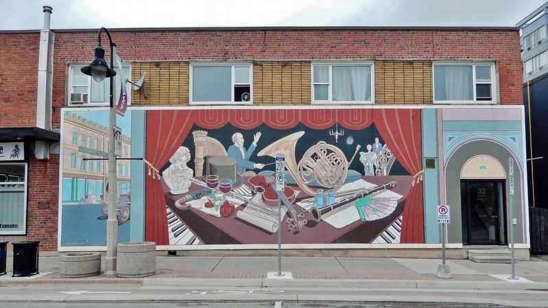
By Cosmos Mariner, May 27, 2022
Borsberry Music Hall Marker
TITLE SORT Geographic Sort Marker Number Sort Marker Number Sort for Trails Publication Order Sort Publication Order Sort A Erected Year Sort Most Viewed Sort Most Recent-Interest Sort Most Recently Changed Sort SEE FAQ #33 FOR DESCRIPTIONS
On Athol Street East just east of Celina Street, on the left when traveling east.
On Stevenson Road North 0.1 kilometers north of Fairglen Avenue, on the right when traveling north.
On Stevenson Road North 0.1 kilometers north of Fairglen Avenue, on the right when traveling north.
On Centre Street South (Provincial Highway 2A) just north of John Street West, on the left when traveling south.
On Simcoe Street North (County Road 2) 0.2 kilometers south of Columbus Road East, on the left when traveling south.
Near Centre Street South (Provincial Highway 2A) just south of King Street West, on the right when traveling south.
On Celina Street south of King Street East, on the right when traveling south.
On Richmond Street West just west of Simcoe Street North (Provincial Highway 2), on the right when traveling west.
On Bond Street West just west of Prince Street, on the left when traveling west.
On Simcoe Street South 0.2 kilometers Lakeview Park Avenue, on the right when traveling south.
Near Simcoe Street South 0.2 kilometers south of Lakeview Park Avenue, on the right when traveling south.
On Bond Street West 0.08 kilometers west of Simcoe Street North (Provincial Highway 2), on the left when traveling west.
On Simcoe Street South 0.2 kilometers south of Lakeview Park Avenue, on the right when traveling south.
On Simcoe Street North (Durham Regional Road 2) at Richmond Street East, on the right when traveling north on Simcoe Street North (Durham Regional Road 2).
On King Street West 0.2 kilometers west of Centre Street North, on the left when traveling east.
Paid Advertisement
On Simcoe Street South (Provincial Highway 2) 0.06 kilometers north of Athol Street West, on the left when traveling north.
Near Metcalfe Street just west of Simcoe Street South (Provincial Highway 2), on the left when traveling west.
On Metcalfe Street just east of Center Street South (Provincial Highway 2A) when traveling east.
Near Simcoe Street South (Provincial Highway 2) just north of John Street West, on the left when traveling north.
On King Street East at Ontario Street, on the left when traveling east on King Street East.
Near Simcoe Street South (Provincial Highway 2) just south of Metcalfe Street, on the left when traveling north.
Near King Street West at Prince Street, on the right when traveling east.
On King Street West just east of McMillan Drive, on the left when traveling east.
Near Simcoe Street North (Durham Regional Road 2) just south of Parkwood Court, on the right when traveling south.
On Celina Street just north of Bruce Street, on the right when traveling south.
Near Simcoe Street North (Durham Regional Road 2) just south of Parkwood Court, on the right when traveling south.
On Simcoe Street South 0.2 kilometers Lakeview Park Avenue.
Near Simcoe Street North (Durham Regional Road 2) just south of Parkwood Court, on the right when traveling south.
On John Street West just east of Centre Street South (Provincial Highway 2A), on the left when traveling east.
On Colonel Sam Drive 0.5 kilometers east of Farewell Creek, on the right when traveling east.
On Centre Street South (Provincial Highway 2A) just south of King Street West, on the right when traveling south.
Paid Advertisement
On Centre Street North (Provincial Highway 2A) just south of Bond Street West, on the left when traveling south.
On Simcoe Street South, on the right when traveling south.
︽