By Bill Kirchner, September 24, 2010
26 Bar Hereford Ranch Marker
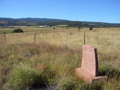
| On School Bus Road at West Central Avenue (Arizona Route 260), on the right when traveling south on School Bus Road. |
| On West 26 Bar Road, 0.4 miles west of School Bus Road, on the right when traveling west. |
| On Main Street, 0.1 miles north of West 6th Street, on the right when traveling north. |
| On School Bus Road at West Central Avenue (Arizona Route 260), on the left when traveling south on School Bus Road. |
| On Main Street at West 2nd Street, on the left when traveling north on Main Street. |
| On North Main Street, on the left when traveling north. |
| On East Central Avenue, 0 miles east of Main Street, on the right when traveling east. |
| On Main Street, on the left when traveling north. |
| On South Harless Street at West 8th Street, on the left when traveling north on South Harless Street. |
| On South River Road, 0.1 miles south of West Central Avenue, on the left when traveling south. |
| On North Main Street at East 3rd Avenue, on the right when traveling north on North Main Street. |
| On East Main Street at South Papago Street, on the right when traveling east on East Main Street. |
| On Apache Street at Supai, on the left when traveling east on Apache Street. |
| On Apache Street at Silva Lane, on the left when traveling east on Apache Street. |
| On East Main Street, on the right when traveling west. |
| On West Airport Road at North Becker Lake Road, on the right when traveling west on West Airport Road. |
| On East 4th Avenue at North Eagar Street, on the left when traveling west on East 4th Avenue. |
| On West Main Street (U.S. 180/191), on the right when traveling west. |
| On U.S. 60 at milepost 392, on the right when traveling east. |
| On South Mountain Avenue (Business U.S. 180), on the right when traveling south. |
| On East Main Street, on the left when traveling west. |
| On South River Road, 0.3 miles south of West 4th Avenue, on the right when traveling west. |
| On North Papago Street, 0.2 miles north of Apache Street, on the right when traveling north. |
| On Apache Street at Supai, on the right when traveling east on Apache Street. |
| On East Maricopa Drive, 1.3 miles west of Gutierrez Street, on the left when traveling west. |
| On East Main Street, 0.2 miles east of South Mountain Avenue, on the right when traveling east. |
| On East Mohave Street at South Zuni Street, on the left when traveling west on East Mohave Street. |
| On South Mountain Avenue, on the right when traveling north. |