By Cajun Scrambler, May 27, 2017
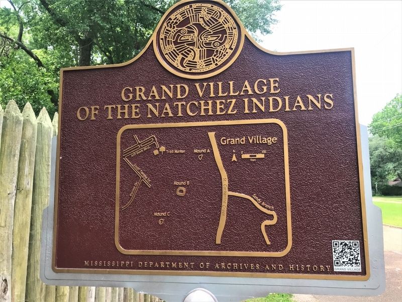
Grand Village of the Natchez Indians Marker
GEOGRAPHIC SORT Title Sort Marker Number Sort Marker Number Sort N Marker Number Sort T Publication Order Sort Publication Order Sort A Erected Year Sort Most Viewed Sort Most Recent-Interest Sort Most Recently Changed Sort SEE FAQ #33 FOR DESCRIPTIONS
On Jeff Davis Boulevard east of South Temple Road, on the right when traveling east.
On Emerald Mound Road, 1 mile west of Natchez Trace Parkway, on the right when traveling west.
On Foster Mounds Road, 0.5 miles south of Steam Plant Road, on the right when traveling north.
On Mississippi Route 1 north of Clark Place, on the right when traveling north.
On Old Mill Road, 0.4 miles south of Bald Hill Road, on the right when traveling south.
On Rodney Road, 1.6 miles west of Montgomery Road, on the left when traveling west.
On Coahoma-Rich Road, 0.9 miles south of U.S. 61, on the right when traveling south.
On State Highway 6, 0.5 miles east of Crum Road, on the right when traveling east.
On Norfolk Road, 0.1 miles east of Thomas Road, on the right when traveling west.
On U.S. 49, 8.8 miles north of Interstate 220, in the median.
On Mississippi Route 7, 0.5 miles south of Smith Road, on the right when traveling south.
On Grace Road, 0.3 miles west of State Highway 1, on the left when traveling south.
On Deer Creek Road, 1.6 miles east of U.S. 61, on the right when traveling east.
On Mississippi Route 35N, 0.5 miles south of Interstate 55, on the right when traveling south.
On Creek Road, 0.3 miles west of Barfield Road, on the right when traveling west.
Paid Advertisement
On Crab Apple Lane at Willow Lane, on the right when traveling north on Crab Apple Lane.
On Deer Creek Road, 0.4 miles south of State Route 16, on the right when traveling south.
On Rolling Fork Road south of Helena Road, on the right when traveling south. Reported missing.
On U.S. 61, 0.5 miles south of West Avenue, on the right when traveling south.
On Old U.S. 61, 0.8 miles south of Evansville Road, on the right when traveling south. Reported missing.
On Austin Road, 0.2 miles west of Old U.S. 61, on the left when traveling west.
On Indian Mound Road, 1.5 miles west of Old U.S. 61, on the right when traveling west.
On Old U.S. 61, 0.5 miles south of Hollywood Road, on the right when traveling south.
On Silver Bullet Boulevard near State Route 3, on the left when traveling north. Reported missing.
On U.S. 61 south of Demby Drive, on the right when traveling south.
On Yazoo Refuge Road, 1 mile east of State Highway 1, on the right when traveling east.
On Yazoo Refuge Road east of Deer Lake Road, on the right when traveling east.
On State Highway 1 north of Indian Road, on the right when traveling north.
On State Highway 24, 0.5 miles north of Millbrook Road, on the right when traveling east.
On State Highway 24 west of Pleasant Valley Road, on the right when traveling west.