By Jason Voigt, November 14, 2022
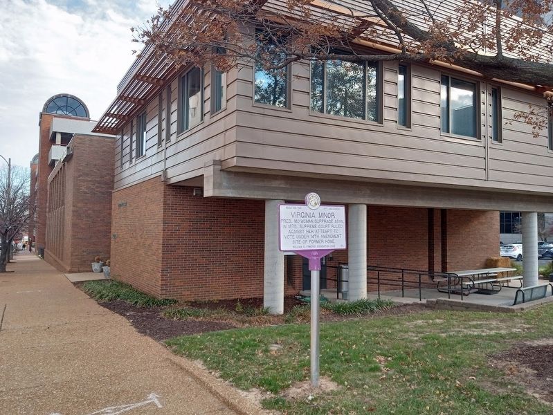
Virginia Minor Marker
GEOGRAPHIC SORT Title Sort Marker Number Sort Marker Number Sort N Marker Number Sort T Publication Order Sort Publication Order Sort A Erected Year Sort Most Viewed Sort Most Recent-Interest Sort Most Recently Changed Sort SEE FAQ #33 FOR DESCRIPTIONS
On Olive Street at North Beaumont Street, on the right when traveling east on Olive Street.
On South Carson Street (Business U.S. 395) just south of West 2nd Street, on the right when traveling south.
On South 4th Street just south of Lewis Avenue, on the right when traveling north.
On Main Street (U.S. 50) at Virginia Hill, on the right when traveling west on Main Street.
On East Front Street (Nevada Route 304) at South Broad Street (Nevada Route 305), on the right when traveling west on East Front Street.
On Main Street (U.S. 6/95) at Brougher Avenue, on the right when traveling north on Main Street.
On Park Street, on the left when traveling west.
On Portsmouth Avenue at Post Road (New Hampshire Route 151), on the left when traveling west on Portsmouth Avenue.
On Opera House Square at Pleasant Street (New Hampshire Route 11/12), in the median on Opera House Square.
On Sycamore Avenue (County Road 13A) at Broad Street (State Route 35), on the right when traveling east on Sycamore Avenue.
On Ledgewood Avenue (New Jersey Route 183) north of Allen Street (County Road 631), on the right when traveling north.
On Picard Road, on the right when traveling east.
On Helderberge Trail (New York State Route 443), on the right when traveling west.
On Halter Road just west of River Road (New York State Route 144), on the right when traveling west.
On Knox-Gallupville Road (County Route 255), on the right when traveling west.
Paid Advertisement
On Township Road (New York State Route 146), on the right when traveling east.
On Clipp Road, on the right when traveling south.
On North Main Street just north of Saxon Drive, on the right when traveling north.
On New York State Route 417, on the right when traveling west.
Near Main Street (New York State Route 120) at Bartlett Road, on the right when traveling north.
On Main Street (New York State Route 417) 0.1 miles south of Foreman Hollow Road, on the right when traveling north.
Near School Street at Portville Ceres Road (New York State Route 417).
On Pine Street at Carroll Street, on the left when traveling west on Pine Street.
On Court Street at Centenary Street, on the right when traveling east on Court Street.
On Court Street, on the right when traveling west.
On Chenango Street, 0.1 miles south of Henry Street, on the right when traveling south.
On Main Street (New York State Route 17C) at Oak Street, on the left when traveling east on Main Street.
On New York State Route 26, on the left when traveling north.
On Main Street, on the right when traveling north.
Paid Advertisement
On Vestal Parkway East, on the right when traveling east.
On Main Street south of Charles Street, on the left when traveling north.
On U.S. 11 at Collins Street, on the right when traveling south on U.S. 11.
On Church Road, 0.1 miles south of Cherry Valley Road, on the right when traveling south.
On Jefferson Street (U.S. 219) 0.2 miles south of Martha Street, on the left when traveling south.
On Cadiz Road (County Route 69) 0.2 miles south of Salamanca Sugartown Road (New York State Route 98), on the left when traveling south.
On Salamanca-Sugartown Road (New York State Route 98) at Humphrey Road, on the right when traveling north on Salamanca-Sugartown Road.
On U.S. 62, 0.1 miles north of Cherry Creek Hill Road (County Route 6), on the right when traveling south.
On U.S. 62 at Cherry Creek Hill Road (County Route 6), on the right when traveling south on U.S. 62.
On Court Street at 7th Street, on the right when traveling east on Court Street.
On North Center Road, 0.1 miles north of Palmer Road, on the left when traveling north.
On East State Street (New York State Route 417) east of South Union Street, on the right when traveling east.
On North Division Street at Beech Tree Road on North Division Street.
Paid Advertisement
On Parker Street north of Fitch Avenue, on the left when traveling north.
On South Street (New York State Route 34) south of Grover Street, on the right when traveling south.
On Genesee Street west of South Street (New York State Route 34), on the right when traveling east.
On Main Street (New York State Route 90) at Cherry Avenue, on the right when traveling south on Main Street.
On Lake Road (New York State Route 38) at Stone School Road, on the right when traveling south on Lake Road.
On New York State Route 90, on the left when traveling east.
On New York State Route 34-B, on the right when traveling north.
On New York State Route 34-B, on the left when traveling north.
On Chapman Road, 0.3 miles west of High Street, on the right when traveling south.
On New York State Route 90, 0.1 miles north of Erie Street, on the left when traveling north.
On McDonald Road (County Route 114A) at Mentz Church Road (County Route 115), on the left when traveling east on McDonald Road.
On High Street at Erie Street, on the left when traveling north on High Street.
On New York 41A, on the right.
On Baptist Corner Road, on the right when traveling east.
On Church Street, in the median.
Paid Advertisement
On New York 104A, on the left when traveling west.
On New York State Route 90 at Dresser Road on State Route 90.
On Turnpike Road (County Route 10B) 0.1 miles west of Lewis Road, on the right when traveling east.
On Cayuga Street (New York State Route 90) at Chase Avenue, on the right when traveling south on Cayuga Street.
On Homer Street east of Menzie Lane, on the right when traveling east.
On South Street (County Route 128) at Liberty Street, on the left when traveling south on South Street.
On Liberty Street, 0.1 miles east of S. Seneca Street, on the left when traveling east.
On West Main Street (U.S. 20) at Highland Avenue, in the median on West Main Street.
Near Point Drive North at Park Drive.
Near Chautauqua Avenue (New York State Route 430) at Creek Road, on the right when traveling south.
On Button Valley Road, 1.5 miles west of Blockville-Watts Flats Road (County Route 35), on the left when traveling west.
On Park Road, 0.2 miles east of West Lake Road, on the right when traveling north.
On North Erie Street (New York State Route 394) at East Chautauqua Street (New York State Route 430), on the right when traveling north on North Erie Street.
On North Maple Avenue (County Route 43) at College Street, on the right when traveling north on North Maple Avenue.
On County Road 60, on the right when traveling west.
Paid Advertisement
On County Road 60, on the left when traveling west.
On New York State Route 7.
On East Main Street, on the right when traveling north.
On East Main Street, on the left when traveling west.
On New York State Route 41 at New York State Route 206 on State Route 41.
On New York State Route 80, on the left when traveling east.
On New York State Route 12, on the right when traveling north.
On New York State Route 26, 0.1 miles east of Pitcher Hill Road, on the left when traveling south.
On Route 26, 0.1 miles east of Pitcher Hill Road, on the right when traveling south.
On NY State Route 8 at White Store Road, on the left when traveling north on NY State Route 8.
On County Route 13 west of New York State Route 26, on the right when traveling west.
On New York State Route 26 at Clarence Church Road, on the right when traveling north on State Route 26.
On County Road 13, on the right when traveling west.
On New York State Route 22, 0.4 miles south of Burke Road, on the right when traveling south.
Paid Advertisement
On New York State Route 9N, 0.2 miles east of Smith Street, on the right when traveling east.
On Main Street, on the right when traveling west.
On North Ausable Street north of Main Street, on the left when traveling north.
779 entries matched your criteria. Entries 101 through 200 are listed above.
⊲ Previous 100 —
Next 100 ⊳