After filtering for Vermont, 56 entries match your criteria.
Waterways & Vessels Topic
By William Fischer, Jr., October 7, 2017
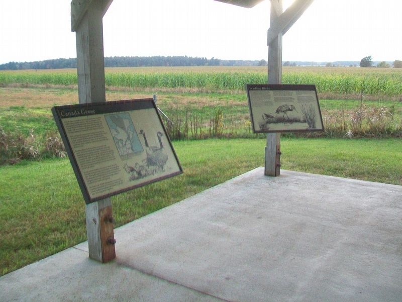
Canada Geese Marker
| 1 ► Vermont, Addison County, Addison — Canada Geese — |
| On Vermont Route 17W, 1.7 miles west of Vermont Route 22A, on the left when traveling west. | |||
| 2 ► Vermont, Addison County, Addison — Northern Terminal of the Crown Point Military Road — |
| On Vermont Route 17, on the right when traveling north. | |||
| 3 ► Vermont, Addison County, Addison — Snow Geese — |
| On Vermont Route 17W, 1.7 miles west of Vermont Route 22A, on the left when traveling west. | |||
| 4 ► Vermont, Addison County, Addison — The Dead Creek Wildlife Management Area — |
| On Vermont Route 17W, 1.7 miles west of Vermont Route 22A, on the left when traveling west. | |||
| 5 ► Vermont, Addison County, Addison — Wetland Resources — |
| On Vermont Route 17W, 1.7 miles west of Vermont Route 22A, on the left when traveling west. | |||
| 6 ► Vermont, Addison County, Middlebury, Bread Loaf — Ancient Paths — |
| Near Main Street (State Highway 30) 0.1 miles south of Seymour Street, on the right when traveling south. | |||
| 7 ► Vermont, Addison County, Orwell — Lake Champlain and the American Revolution — Mount Independence State Historic Site — |
| Near Mount Independence Road, on the right when traveling south. | |||
| 8 ► Vermont, Addison County, Shoreham — Larrabee’s Point — |
| On Vermont Route 74, on the right when traveling west. | |||
| 9 ► Vermont, Addison County, Vergennes — Commerce at the Crossroads — |
| On Main Street (Vermont Route 22A), on the left when traveling north. | |||
| 10 ► Vermont, Addison County, Vergennes — Commodore Thomas Macdonough — Born December 1783 — Died November 1825 — |
| On Main Street (Vermont Route 22A) at Park Street, on the right when traveling west on Main Street. | |||
| 11 ► Vermont, Addison County, Vergennes — Macdonough Shipyard — |
| Near Macdonough Drive, 0.3 miles west of Main Street (Vermont Route 22A). | |||
| 12 ► Vermont, Addison County, Vergennes — Site of Naval Shipyard — |
| On Trails End Road, on the right when traveling east. | |||
| 13 ► Vermont, Bennington County, Dorset — Fenton Pottery Site — 1801-1810 — |
| On Dorset Hollow Road at Kirby Hollow Road, on the right when traveling south on Dorset Hollow Road. | |||
| 14 ► Vermont, Chittenden County, Burlington — Battery Park — Scene of British Attack in War of 1812 — |
| Near Battery Street. | |||
| 15 ► Vermont, Chittenden County, Burlington — Celebrating Champlain — Parades and Pagentry — |
| On College Street at Lake Street, on the right when traveling west on College Street. | |||
| 16 ► Vermont, Chittenden County, Burlington — City Hall Park — Burlington, VT — |
| Near Main Street (U.S. 2) east of St. Paul Street when traveling west. | |||
| 17 ► Vermont, Chittenden County, Burlington, New North End — The Black Snake Affair — |
| 18 ► Vermont, Chittenden County, Burlington, South End — Dr. Charles N. Perkins — |
| Near Maple Street at Railroad Lane. | |||
| 19 ► Vermont, Chittenden County, Burlington, South End — Ground Beneath Your Feet — Burlington Heritage Trail — |
| Near Maple Street, 0.2 miles west of Railway Lane. | |||
| 20 ► Vermont, Chittenden County, Burlington, South End — Honor and Tradition — |
| On College Street, on the left when traveling north. | |||
| 21 ► Vermont, Chittenden County, Burlington, South End — Pine Street Barge Canal — |
| Near Island Line (Bike/Pedestrian) Trail, 0.2 miles south of Railway Lane, on the right when traveling south. | |||
| 22 ► Vermont, Chittenden County, Burlington, South End — Samuel de Champlain — 1570-1635 — |
| Near South Willard Street. | |||
| 23 ► Vermont, Chittenden County, Burlington, South End — Vermont / Steamer "Vermont" — |
| On King Street Dock, 0.1 miles west of Battery Street, on the right when traveling west. | |||
| 24 ► Vermont, Chittenden County, Charlotte — The Charlotte Whale — The Vermont State Fossil — |
| On Thompsons Point Road, 0.1 miles west of Greenbush Road, on the right when traveling west. | |||
| 25 ► Vermont, Chittenden County, Jericho — Chittenden Mills — |
| On Vermont Route 15 at Red Mill Drive, on the right when traveling west on State Route 15. | |||
| 26 ► Vermont, Chittenden County, Milton — Samuel De Champlain — Historic Lake Islands — |
| Near Roosevelt Highway (U.S. 2), on the left when traveling west. | |||
| 27 ► Vermont, Chittenden County, Richmond — Huntington Gorge / Deaths at the Huntington Gorge — Site of Richmond’s first grist mill and electric generating plant — |
| On Dugway Road, 1.5 miles east of Huntington Road, on the right when traveling north. | |||
| 28 ► Vermont, Chittenden County, Shelburne — Ticonderoga — |
| 29 ► Vermont, Chittenden County, Shelburne — Colchester Reef Lighthouse Relocation — |
| 30 ► Vermont, Chittenden County, Shelburne — Lighthouse — 1871 • Colchester Point, Lake Champlain, Vermont — Moved to Museum: 1952 — |
| 31 ► Vermont, Chittenden County, Shelburne — Preservation of the Colchester Reef Lighthouse — |
| 32 ► Vermont, Chittenden County, Shelburne — Sawmill — Constructed on-site: 1957 — |
| 33 ► Vermont, Chittenden County, Shelburne — Ticonderoga — |
| Near Shelburne Road (U.S. 7) 0.4 miles north of Bostwick Road. | |||
| 34 ► Vermont, Essex County, East Concord — George Lansing Fox — One of the 4 Dorchester Chaplains — |
| On Oregon Road, 3 miles south of West Lunenberg Road (U.S. 2), on the left when traveling south. | |||
| 35 ► Vermont, Essex County, Guildhall — Historic Guildhall, Vermont — (Pronounced Gilhall) — |
| On Vermont Route 102 at Bridge Street, on the right when traveling east on State Route 102. | |||
| 36 ► Vermont, Essex County, Island Pond — Island Pond — |
| On East Brighton Road (Vermont Route 105) at Railroad Street (Vermont Route 114), on the right when traveling east on East Brighton Road. | |||
| 37 ► Vermont, Franklin County, St. Albans Bay, Saint Albans Bay — Lucrative Trade to Leisure Vacations/Du commerce lucratif au voyage d'agrément — |
| Near Lake Street (Vermont Route 36) at Georgia Shore Road. | |||
| 38 ► Vermont, Grand Isle County, Alburgh — Historic Lake Islands - Samuel De Champlain — |
| On N.Main Street (U.S. 2) 0 miles south of Missle Base Road, on the right when traveling north. | |||
| 39 ► Vermont, Grand Isle County, Isle La Motte — Sweet's Ferry — |
| On West Shore Road at School Street, on the right when traveling south on West Shore Road. | |||
| 40 ► Vermont, Orange County, Bradford — Bradford — Home of Maker of 1st Globes and Birthplace of Adm. Clark — |
| On Main Street (U.S. 5) 0.1 miles south of Bank Street, on the right when traveling south. | |||
| 41 ► Vermont, Orange County, Fairlee — Samuel Morey — Pioneer Inventor of Steam and Gas Engines lived here — |
| On Main Street (U.S. 5) 0.1 miles north of School Street, on the right when traveling north. | |||
| 42 ► Vermont, Orange County, Strafford — Old City and Old City Falls — |
| On Old City Falls Branch, 0.9 miles north of Justin Morrill Memorial Highway, on the left when traveling north. | |||
| 43 ► Vermont, Orleans County, East Charleston — Clyde River — |
| On 10 Mile Square Road at Vermont Route 105, on the left when traveling east on 10 Mile Square Road. | |||
| 44 ► Vermont, Orleans County, Glover — Runaway Pond — |
| On Dry Pond Road (Vermont Route 16) 1.9 miles north of Quarry Road, on the right when traveling north. | |||
| 45 ► Vermont, Orleans County, Newport — 2 — Early 19th Century Newport / Newport au dèbut du 19e siècle — |
| 46 ► Vermont, Orleans County, Newport — Northern Forest Canoe Trail — Northeast Kingdom — |
| 47 ► Vermont, Orleans County, Newport — 3 — Tour Boats on the Lake / Les Bateaux de Randonnée sur le Lac — |
| 48 ► Vermont, Rutland County, Clarendon, North Clarendon — Kingsley Grist Mill — |
| On Gorge Road at East Street on Gorge Road. | |||
| 49 ► Vermont, Rutland County, Pittsford — Kendrick Dam, Pond, Mill, and Ice House — |
| On Plains Road, 1 mile east of U.S. 7, on the left when traveling east. | |||
| 50 ► Vermont, Rutland County, Proctor — Otter Creek — |
| On Main Street at East Street (Vermont Route 3), on the right when traveling west on Main Street. | |||
| 51 ► Vermont, Windham County, Bellows Falls — Bellows Falls — |
| On Depot Street. | |||
| 52 ► Vermont, Windham County, Brattleboro, West Brattleboro — Creamery Bridge Native Plant Restoration Project — |
| On Creamery Bridge Trail north of Guilford Street, on the right when traveling north. | |||
| 53 ► Vermont, Windham County, Brattleboro, West Brattleboro — Creamery Bridge Native Plant Restoration Project — |
| On Creamery Bridge Trail south of Western Avenue (Vermont Route 9). | |||
| 54 ► Vermont, Windsor County, Plymouth — Revolutionary War Campground on the Crown Point Road — |
| On Scout Camp Road, 0.5 miles north of Kingdom Road, on the right when traveling south. | |||
| 55 ► Vermont, Windsor County, Plymouth — Vermont Gold Rush — |
| On Scout Camp Road, 0.6 miles north of Kingdom Road, on the right when traveling north. | |||
| 56 ► Vermont, Windsor County, Weathersfield, Perkinsville — Salmond Bridge — |
| On Henry Gould Road, 0.1 miles east of Vermont Route 131, on the right when traveling east. | |||