21 entries match your criteria.
Related Historical Markers Marjorie Harris Carr Cross Florida Greenway
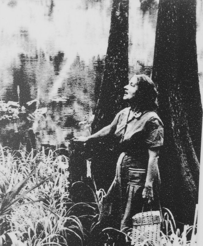
Courtesy Florida Defenders of the Environment
Marker detail: Marjorie Harris Carr
SHOWN IN SOURCE-SPECIFIED ORDER
On Florida Trail, 1.4 miles west of SW 16th Avenue, on the left when traveling west.
On Withlacoochee Bay Trail, 4.6 miles west of North Suncoast Boulevard (U.S. 19).
Near North Suncoast Boulevard (U.S. 19) 0.3 miles north of West Cornflower Drive, on the right when traveling north.
Near West Riverwood Drive, 1.7 miles east of North Basswood Avenue, on the left when traveling east.
Near Canal Road (Spillway Road), 0.8 miles south of Florida Route 40, on the left when traveling west.
Near Southeast 90th Avenue, 0.3 miles south of Florida Route 40, on the right when traveling south.
Near West Riverwood Drive, 1.7 miles east of North Basswood Avenue, on the left when traveling east.
Near West Withlacoochee Trail (County Road 39) just east of North Florida Avenue (U.S. 41), on the left when traveling east.
Near County Highway 484, 5.2 miles east of Williams Street (U.S. 41), on the right when traveling east.
Near State Road 200, 1.5 miles south of County Road 484, on the left when traveling south.
Near Southwest 69th Court just north of Southwest 128th Street.
On Florida Trail, 1.4 miles west of SW 16th Avenue, on the left when traveling west.
On Florida Trail, 1.2 miles west of SW 16th Avenue, on the right when traveling west.
On Florida Trail, 4.5 miles south of Southeast 80th Street (County Road 328), on the left when traveling south.
Near Southeast 58th Avenue (Baseline Road) (Florida Route 35) 5 miles south of East Silver Springs Boulevard (Florida Route 40), on the left when traveling south.
Paid Advertisement
Near County Road 314, 4 miles south of State Route 19, on the left when traveling west.
Near Northeast 154th Street east of Northeast 152nd Court Road, on the left when traveling east.
Near Kenwood Boat Ramp Road, 0.8 miles south of County Road 315, on the right when traveling south.
Near Rodman Dam Road, 3.6 miles west of Florida Route 19, on the left when traveling west.
Near Buckman Lock Road, 0.9 miles south of Florida Route 19.
On Martinez Circle, 0.2 miles north of Boys Ranch Roadd when traveling north.
May. 17, 2024