By Barry Swackhamer, June 5, 2016
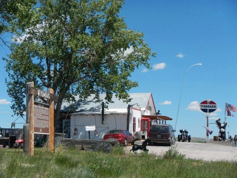
Hunt's 1811 Astorian Overland Expedition Marker and the Spotted Horse Bar
| On U.S. 16 at milepost 70 near Werner Road, on the right when traveling east. |
| On 5th Street near West Buffalo Avenue, on the right when traveling west. |
| On South 5th Street near West Aspen Street, on the right when traveling north. |
| On West Birch Street (U.S. 26) near Wyoming Highway 95, on the right when traveling east. |
| On Deer Creek Road (County Highway 19) 1 mile south of I-25 (U.S. I-25), on the left when traveling south. |
| On State Highway 24, 0.2 miles west of Oak Creek Road, on the left when traveling west. |
| On Interstate 90 at milepost 171, on the right when traveling west. |
| On Industrial Avenue (at milepost 190) near Interstate 90. |
| On State Highway 585 near Cold Springs Road, on the left when traveling south. Reported missing. |
| Near Union Pass Road (Forest Road 600) near Forest Road 534. |
| On U.S. 287 at Union Pass Road on U.S. 287. |
| On U.S. 287 at Ethete Road, on the right when traveling north on U.S. 287. |
| Near Cemetery Lane near Trout Creek Road, on the left when traveling north. |
| On State Highway 789 near West 6th Street, on the left when traveling west. |
| On U.S. 287, 2.5 miles west of California Emigrant Road, on the right when traveling west. |
| Near U.S. 287, 12 miles east of Wyoming Highway 28. |
| On East Main Street (U.S. 287) near North 1st Street, on the right when traveling west. |
| Near State Highway 28, 0.7 miles south of Lander-Pinedale Stage Road. |
| On North Federal Boulvard (State Highway 789) at East Fremont Avenue on North Federal Boulvard. |
| Near State Highway 160, on the left when traveling west. |
| On U.S. 26 near Road 175, on the right when traveling west. |
| On Sneider Point Road near Pasture Road when traveling south. |
| On E Hart Street, on the right when traveling east. |
| On Monument Road at Shell Creek Road, on the right when traveling north on Monument Road. |
| On U.S. 189, 5.6 miles south of State Highway 235, on the right when traveling south. |
| On U.S. 189, 5.6 miles south of State Highway 235, on the right when traveling south. |
| On U.S. 189, 12.8 miles north of State Highway 372, on the right when traveling north. |
| On Fremont Canyon Road (County Route 408) near Kortes Road (County Route 407), on the left when traveling east. |
| Near State Highway 220 at milepost 63,, 2.5 miles south of Buzzard Rd (County Route 410). |
| On U.S. 26, on the left when traveling east. |
| On Bessemer Bend Road (Route 308) near Speas Road (Route 311), on the right when traveling east. |
| On Bessemer Bend Road (County Route 308) near Speas Road (County Route 311), on the right when traveling east. |
| On Bessemer Bend Road (County Route 308) near Speas Road (County Route 311), on the right when traveling east. |
| Near Fort Caspar Road, 0.1 miles west of Route 258, on the right when traveling west. |
| Near Fort Caspar Road, 0.1 miles west of Wyoming Route 258, on the right when traveling west. |
| Near W Yellowstone Avenue (U.S. 20), on the right when traveling west. |
| Near W Yellowstone Avenue (U.S. 20), on the right when traveling west. |
| On W Yellowstone Avenue (U.S. 20), on the right when traveling west. |
| On W Yellowstone Avenue (U.S. 20) 0.1 miles west of Demaris Drive, on the right when traveling west. |
| Near Demaris Drive near West Yellowstone Avenue. |
| On Wendover Road at Cottonwood Road, on the left when traveling north on Wendover Road. |
| On Interstate 90, on the right when traveling south. |
| On U.S. 191, 0.2 miles west of Miner Creek Road, on the left when traveling east. |
| On U.S. 189 near Forest Road 30530, on the right when traveling south. |
| On State Highway 353 near Scab Creek Road, on the right when traveling south. |
| On U.S. 191, 1.8 miles west of Wyoming Highway 351, on the right when traveling east. |
| On Seven Mile River Ranch Road near U.S. 189. |
| On West Pine Street (U.S. 191) near South Lincoln Avenue. |
| On State Highway 28, 0.1 miles west of U.S. 191, on the right when traveling west. |
| On State Highway 28, 0.1 miles west of U.S. 191. |
| Near South 2nd East Street, on the right when traveling south. |
| On Flaming Gorge Way at North Center Street when traveling north on Flaming Gorge Way. |
| On South 2nd East Street. |
| Near South 2nd East Street, on the right when traveling south. |
| Near South 2nd East Street near East 4th South Street, on the right when traveling south. |
| Near South 2nd East Street, on the right when traveling south. |
| Near South 2nd East Street, on the right when traveling south. |
| Near South 2nd East Street, on the right when traveling south. |
| On Main Street (State Highway 371) near Berta Street, on the left when traveling north. |
| On U.S. 191, 0.8 miles east of U.S. 89, on the right when traveling east. |
| On Cache Street (U.S. 26), on the left when traveling south. |
| Near Teton Park Road, 8 miles north of U.S. 191. |
| Near Colter Bay Village Road near Colter Bay Marina Road when traveling west. |
| On U. S. Forest Service 30010 (U.S. 287), on the left when traveling west. |
| On Leeks Marina Road near John D. Rockefeller Jr. Parkway (U.S. 89), on the left when traveling north. |
| On Business Interstate 80 at Main Street, on the right when traveling east on Interstate 80Business . |
| On Business Interstate 80 near Main Street, on the right when traveling east. |
| Near State Highway 413 at Interstate 80. |
| On U.S. 16, 3 miles east of U.S. 85, on the right when traveling east. |
| On U.S. 16 at milepost 254 near Beaver Creek Road, on the left when traveling west. |