By J. Makali Bruton, August 26, 2021
Formation of Basalt - Cliff Base Trail Marker
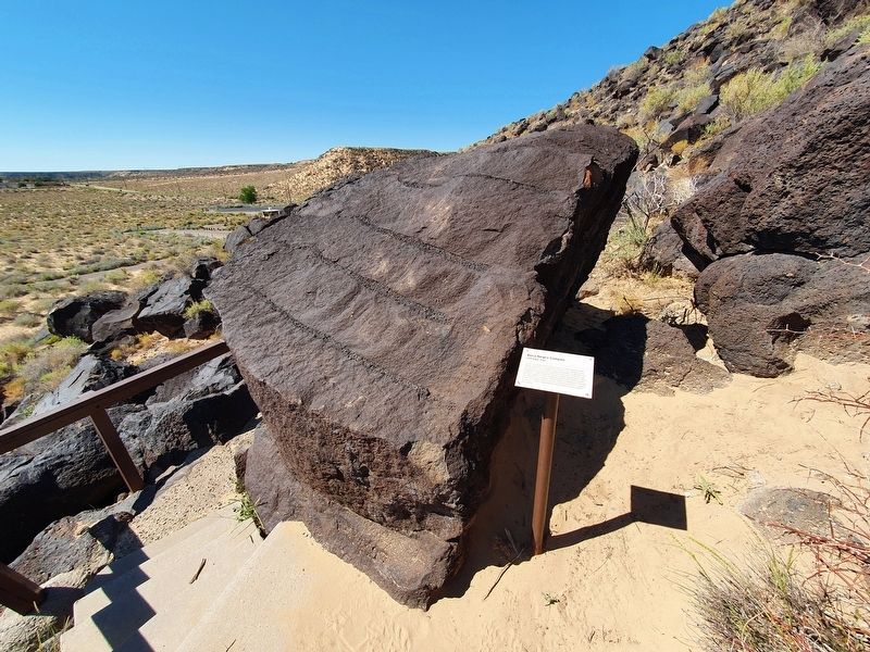
| On Cliff Base Trail east of Atrisco Drive NW. |
| Near Tramway Road NE east of Sandia Heights Road NE when traveling east. |
| On U.S. 380 at milepost 196, on the right when traveling east. |
| On Main Street (State Road 606) south of Plano Colorado Road (County Road 28A), on the right when traveling south. |
| On State Road 117. Reported missing. |
| On West Santa Fe Avenue (Historic Route 66), 0.1 miles east of State Road 53, on the right when traveling east. |
| On Ice Cave Road, 0.6 miles south of Ice Caves Road (State Highway 53), on the right when traveling south. |
| Near El Morro National Monument Road, 0.9 miles Ice Caves Road (New Mexico Highway 53). |
| On West Picacho Avenue (U.S. 70) at Hoskins Lane, on the right when traveling east on West Picacho Avenue. |
| On West Main Street (U.S. 82) at South 6th Street, on the right when traveling east on West Main Street. |
| On West Main Street (U.S. 82) at South 6th Street, on the right when traveling east on West Main Street. |
| On West Main Street (U.S. 82) at South 6th Street on West Main Street. |
| On U.S. 62 at milepost 16, on the right when traveling west. |
| On U.S. 62 at milepost 7.5, on the right when traveling west. |
| On Scenic State Road 152 at milepost 2.3,, 2.3 miles east of U.S. 180, on the right when traveling east. |
| On City of Rocks Road (State Road 61). |
| On Interstate 40 at milepost 251, on the right when traveling east. |
| On State Road 120, on the right when traveling east. |
| Near Interstate 10 at milepost 53. |
| On North Marland Boulevard (U.S. 62/180 at milepost 105.9) at East Snyder Street, on the right when traveling north on North Marland Boulevard. |
| On U.S. 380 at milepost 64,, 1.5 miles west of U.S. 54, on the right when traveling west. |
| On I-40 Frontage Road (U.S. 66) at County Road 566, on the right when traveling west on I-40 Frontage Road. |
| Near New Mexico Route 161, 2.6 miles north of Interstate 25, on the left when traveling north. |
| On State Road 469, 0.4 miles south of Interstate 40, on the right when traveling south. |
| On Highway 84 (U.S. 84 at milepost 215.5) north of Abiquiu, on the right when traveling north. |
| On State Route 504 (U.S. 64 at milepost 3.5), on the right when traveling west. |
| On New Mexico 104, 0.4 miles south of Highway 419, on the right when traveling north. |
| On State Highway 4, 8.1 miles west of West Jemez Road (State Highway 501), on the right when traveling west. |
| Near West Frontage Road (U.S. 84 Frontage Road at milepost 175), 0.2 miles north of Camel Rock Road. |
| On U.S. 285 at milepost 290 at Old Lamy Trail (County Road 33), on the right when traveling south on U.S. 285. |
| On State Road 187 at State Road 152, on the right when traveling north on State Road 187. |
| Near CanAm Highway (Interstate 25 at milepost 113), 1.2 miles south of State Road 107, on the right when traveling south. |
| On U.S. 60, on the right when traveling west. |
| Near CanAm Highway (Interstate 25 at milepost 113) south of State Road 107, on the right when traveling south. |
| Near CanAm Highway (Interstate 25 at milepost 166), on the right when traveling south. |
| On Volcano Road, 2.6 miles south of State Road 325, on the left when traveling south. |
| On U.S. 64 at State Road 325, on the left when traveling east on U.S. 64. |
| On U.S. 64, 0.6 miles east of Riata Road, on the left when traveling east. |
| On Volcano Road, 2.6 miles east of State Road 325, on the right when traveling south. |
| On Volcano Road, 2.6 miles State Road 325, on the right when traveling south. |
| On Volcano Road, 2.6 miles east of State Road 325, on the right when traveling south. |
| On Volcano Road, 0.5 miles east of State Road 325, on the right when traveling south. |
| On U.S. 64, 0.1 miles west of County Road B080, on the right when traveling west. |
| Near U.S. 64, 0.1 miles south of County Road A049. |