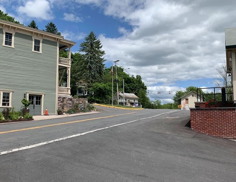
By Steve Stoessel, May 31, 2020
Ancram
| On New York State Route 82 at County Route 7, in the median on New York State Route 82. |
| On New York State Route 82, on the right when traveling south. |
| On County Route 11 2 miles north of County Route 7, on the right when traveling north. |
| On County Route 11 at Green Hill Road, on the left when traveling north on County Route 11. |
| On New York State Route 82 at County Route 7, in the median on New York State Route 82. |
| On New York State Route 82 at County Route 7, in the median on New York State Route 82. |
| On County Route 8 at County Route 3, in the median on County Route 8. |
| On County Route 3 0.3 miles north of Over Mountain Road, on the right when traveling south. |
| On New York State Route 82 at County Route 8, on the right when traveling south on New York State Route 82. |
| On New York State Route 22 at E Hill Road, on the left when traveling south on New York State Route 22. |
| On New York State Route 22 south of Harvey Mountain Road, on the left when traveling south. |
| On New York State Route 22 south of Route 203, on the left when traveling south. |
| On East Hill Road (New York State Route 22) at East Hill Road, on the left when traveling south on East Hill Road. |
| On New York State Route 22 3.8 miles north of Upper Hollow Road, on the right when traveling north. |
| On Boston Corners Road at Harlem Valley Rail Trail, on the left when traveling south on Boston Corners Road. |
| On New York State Route 295 1 mile west of Route 22, on the right when traveling west. |
| On New York State Route 295 at County Route 5, on the right when traveling west on New York State Route 295. |
| On New York State Route 66 0.1 miles north of Farm Road, on the right when traveling north. |
| On Main Street at Route 66 and, on the right when traveling north on Main Street. |
| On Hudson Avenue at Park Row and Depot Square, in the median on Hudson Avenue. |
| On Iron Hill Road (County Route 9) at Raup Road, on the right when traveling west on Iron Hill Road. |
| On River Street near Main Street, on the right. |
| On Main Street, on the right when traveling north. |
| On Main Street, on the right when traveling north. |
| On County Route 28 east of Silvernail Road, on the right when traveling west. |
| On Bells Pond Road (County Route 12) 0.5 miles east of Route 82, on the right when traveling west. |
| On Bells Pond Road (County Route 12) 0.7 miles east of Route 82, on the left when traveling west. |
| On County Road 12 (County Route 12) at Junction Road, on the left when traveling west on County Road 12. |
| On Millbrook Road at County Route 12, on the right when traveling north on Millbrook Road. |
| On County Route 12 at Millbrook Road, on the right when traveling west on County Route 12. |
| On Taghkanic-Churchtown Road at Junction Road, on the left when traveling north on Taghkanic-Churchtown Road. |
| On New York State Route 9H at Route 23B, on the right on New York State Route 9H. |
| On New York State Route 23B at Old Lane, on the left when traveling south on New York State Route 23B. |
| On Webb Road 0.1 miles west of Route 23B, on the left when traveling west. |
| On New York State Route 9H at Old Lane, on the left when traveling south on New York State Route 9H. |
| On New York State Route 9H north of Maple Avenue, on the right when traveling north. |
| On New York State Route 23 0.5 miles east of Route 9H, on the left when traveling east. |
| On U.S. 9 north of Buckwheat Road, on the right when traveling north. |
| On U.S. 9 at Blue Hill Road (County Route 8) when traveling south on U.S. 9. |
| On U.S. 9 0.1 miles north of Commons Road (County Route 6), on the left when traveling north. |
| On U.S. 9 0.1 miles north of Commons Road (County Route 6), on the left when traveling north. |
| On U.S. 9 0.1 miles north of Commons Road (County Route 6), on the left when traveling north. |
| On U.S. 9 0.1 miles north of Commons Road (County Route 6), on the left when traveling north. |
| On New York State Route 9G at Jug Road, on the right when traveling south on New York State Route 9G. |
| On U.S. 9 0.1 miles north of Commons Road (County Route 6), on the left when traveling north. |
| Near Brickyard Road at Route 9J, on the right when traveling west. |
| Near Taconic State Park 0.5 miles east of Valley View Road, on the right when traveling east. |
| On County Route &A near County Route 7, in the median. |
| On County Route 7A at Farm Road, on the left when traveling west on County Route 7A. |
| On Harlem Valley Rail Trail at Under Mountain Road, on the left when traveling north on Harlem Valley Rail Trail. |
| On Old New York 22 (Route 344) at Route 344, in the median on Old New York 22. |
| On Valley View Road, on the right. |
| On New York State Route 344 at Valley View Road, on the right when traveling east on New York State Route 344. |
| On New York State Route 344 east of Miles Road, on the right when traveling east. |
| On Valley View Road, on the left when traveling east. |
| On Valley View Road, on the right when traveling east. |
| On Harlem Valley Rail Trail south of Route 344, on the right when traveling south. |
| Near Taconic State Park 0.5 miles north of Route 344, on the left when traveling east. |
| On County Route 27 0.1 miles north of County Route 11, on the right when traveling north. |
| On County Route 27 (County Route 27) near County Route 12, on the right when traveling north. |
| On New York State Route 23 west of Lockwood Road, on the right when traveling west. |
| On County Route 9 0.2 miles north of New Concord Road, on the right when traveling north. |
| On County Route 27 0.3 miles north of New Forge Road, on the right when traveling north. |
| On County Route 19, on the right when traveling south. |
| On County Route 19 at Petersen Road, on the right when traveling north on County Route 19. |
| On Jackson Corners Road (County Route 2) 0.5 miles north of Bathrick Farm Road, on the left when traveling north. |
| On Jackson Corners Road (County Route 2) at County Route 19, in the median on Jackson Corners Road. |
| On Taconic State Parkway 4 miles Jackson Corners Road, on the right when traveling north. |
| On Silvernails Road 0.5 miles north of Hoffman Road, on the right when traveling north. |
| On Mt. Ross Hill Road (County Route 50) 1 mile west of Route 199, on the right when traveling west. |
| On County Route 7 at Mill Hill Road, on the right when traveling east on County Route 7. |
| Near Clermont Avenue 0.3 miles west of Woods Road (County Route 35). |
| Near Clermont Avenue 0.3 miles Woods Road (County Route 35). |
| Near Clermont State Park west of Empire State Trail (County Road 35), on the left when traveling south. |
| Near Clermont Avenue 0.3 miles west of Woods Road (County Route 35). |
| Near Clermont Avenue near Clermont State Park, on the right when traveling north. |
| On Woods Road (County Route 35) at Clermont State Park, on the right when traveling north on Woods Road. |
| On Clermont Avenue (County Route 6) at Woods Road (Route 35), on the right when traveling west on Clermont Avenue. |
| On Clermont Avenue west of Farm Road Trail, on the right when traveling east. |
| Near Clermont Avenue north of Clermont State Park, on the right when traveling north. |
| On Clermont Avenue near Farm Road Trail, on the right when traveling west. |
| On New York State Route 9G at Sharps Landing Road, on the right when traveling south on New York State Route 9G. |
| On Church Avenue (County Route 33) at Amber Lane, on the right when traveling north on Church Avenue. |
| On Main Street west of State Route 9G, on the right when traveling west. |
| On Clermont State Park west of Empire State Trail (County Road 35), on the left when traveling west. |
| On Rhinebeck-Hudson Road (New York State Route 96) south of Station Road, on the right when traveling south. |
| On New York State Route 9G at Station Road, on the left when traveling north on New York State Route 9G. |
| On Blue Hill Road (County Road 31) 0.3 miles south of Walkers Mill Road, on the left when traveling south. |
| Near Clermont Avenue 0.3 miles west of Woods Road (County Route 35). |
| On New York State Route 9G, on the left when traveling north. |
| On New York State Route 9G just north of Sharps Landing Road, on the right when traveling south. |
| On New York State Route 9G, on the right when traveling north. |
2864 entries matched your criteria. The first 100 are listed above.
Next 100 ⊳
