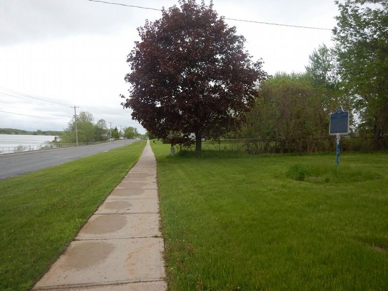
On Montreal Road (County Highway 2) 0.5 kilometers east of Dunbar Avenue, on the right when traveling west.
This property formed part of the extensive lands granted to Capt. Samuel Anderson, U.E.L., one of the first persons to settle on the site of Cornwall. Born in New England of Irish parents, he served with the British forces during the Seven Years . . . — — Map (db m201475) HM
On Montreal Road, on the left when traveling east.
Co-Cathedral of the Nativity of the Blessed Virgin Mary
Between 1851 and 1881, Cornwall experienced a large scale industrial expansion which in turn led to an influx of workers and tradesmen from Quebec. The city saw its . . . — — Map (db m227369) HM
An understanding between Mohawk Chief, Thayendanegea (Joseph Brant) and Sir John Johnson led to the settlement of Cornwall and Stormont, Dundas & Glengarry.
On June 6th, 1784, Loyalists camped on this plateau before traveling to . . . — — Map (db m197142) HM
On Water Street West (County Highway 2) 0.1 kilometers west of Pitt Street, on the right when traveling east.
The Cornwall Canal was one of eight canals that connected western Canada with the ocean by way of the Great Lakes and the St. Lawrence River. Constructed in 1834–1842 to overcome the rapids of the Long Sault, it was enlarged several times . . . — — Map (db m103668) HM
Near County Road 2, on the right when traveling east.
The Cornwall Canal remained in use for over 100 years. It consisted of a series of locks which carried boats 18.5 kilometers around the rapids. It was upgraded in 1881 with a new entrance and later a drydock facility. Power drawn from . . . — — Map (db m202613) HM
On Sydney Street 0.1 kilometers north of Fourth Street East, on the right when traveling north.
Cornwall Collegiate and Vocational School traces its beginning to an educational institution founded by John Strachan in 1803. Strachan, an Anglican priest, opened a private school in his home where he hoped to educate young men to take on leading . . . — — Map (db m103613) HM
On Second Street East at Sydney Street, on the left when traveling east on Second Street East.
English:
Following the death of John McMartin, his wife donated "Highland Manor" to the Sisters of the Religious Hospitallers of Saint Joseph to be used as an orphanage. In fact, many of the children were not orphans, but were . . . — — Map (db m144895) HM
THE SWING-BRIDGE
A pedestrian swing-bridge was erected in 1843 to
supplement a culvert, providing direct access to
the riverside wharf built in 1844.
As you can see, much of present day Lamoureux
Park is landfill.
THE CORNWALL . . . — — Map (db m201476) HM
On Water Street West, on the right when traveling west.
District Court-House and Gaol 1833
The central portion of this was completed in 1833 and served as the court-house and gaol of the Eastern District. First named Lunenburgh, this district was established in 1788 by proclamation. In . . . — — Map (db m306555) HM
Near Brookdale Avenue (Route 2) just south of Ninth Street West, on the right when traveling north.
English:
Electric Locomotive No. 17 – 80 Tons
Locomotive 17 was the last electric locomotive serving Cornwall.
1930 - Built by Baldwin Westinghouse for Salt Lake and Utah Railway, U.S.A. - 70 ton locomotive.
1954 - . . . — — Map (db m144886) HM
On Newsy Lalonde Way, on the right when traveling east.
THE FLYING FRENCHMEN
Professional hockey was in its infancy in the autumn of 1909 when the promoters behind the National Hockey Association, forerunner of the National Hockey League, created the Montreal Canadiens team to attract . . . — — Map (db m203785) HM
On Water Street West (County Highway 2) 0.1 kilometers west of Pitt Street, on the right when traveling east.
In June 1784 disbanded Loyalist soldiers and their families settled at new Johnstown, the site of present-day Cornwall. Initially called Pointe Maligne, the area had been visited by native traders and French missionaries and explorers during the . . . — — Map (db m103632) HM
On Montreal Road (County Highway 2) 0.2 kilometers west of McConnell Avenue, on the right when traveling west.
A vital cultural force in Eastern Ontario, the Franco-Ontarian community in Cornwall was established during the late 1870s when large-scale industrial expansion led to an influx of workers and tradesmen from Québec. By 1881 French-speaking . . . — — Map (db m103610) HM
On Fourth Street East 0.1 kilometers east of Marlborough Street North, on the left when traveling east.
The regiment of Glengarry Light Infantry Fencibles was raised in 1811–12 largely from among the Highland settlers of this region, many of whom had served previously in Europe with the Glengarry (British Highland) Fencibles. The Canadian corps . . . — — Map (db m103612) HM
On Montreal Road (County Highway 2) 0.5 kilometers west of Boundary Road, on the right when traveling west.
This house, built in 1816, is a fine early example of Regency architecture and its interior is a pleasing expression of Georgian symmetry with excellent detailing. In a wooded setting and commanding an impressive view, this was a fitting home for a . . . — — Map (db m103603) HM
On York Street at Water St W, on the right when traveling south on York Street.
Ivy Hall, the home of John Sandfield MacDonald, local lawyer, militia officer, Founder of the "Freeholder", mayor, Member of the Legislative Assembly and First Premier of Ontario , stood on this corner. Politically a moderate reformer, . . . — — Map (db m199587) HM
On Water Street West, on the right when traveling east.
John Baker was born into slavery in Lower
Canada (Quebec), in the 1780s to Dorinda,
a Black woman enslaved by Major James
Gray. When the Gray family relocated to
Cornwall, John, Dorinda, and his brother
Simon were brought with them. The . . . — — Map (db m201421) HM WM
On County Highway 2 at Stonehouse Point Road, on the right when traveling east on County Highway 2.
Born in Scotland, Macdonell came to New York in 1773. Commissioned ensign in the Royal Highland Emigrants (84th Regiment) in June 1775 and later transferred to Butler's Rangers, Macdonell served with distinction until 1784 when he settled with his . . . — — Map (db m103602) HM
On Pitt Street just north of Urquhart Lane, on the right when traveling south.
English:
The New York Cafe, located at 129 Pitt Street, was opened by Peter Wong on July 12, 1913. This popular eatery operated for 59 years under four independent Chinese owners, who prided themselves on maintaining exceptionally . . . — — Map (db m144896) HM
On Second Street West 0.1 kilometers west of Augustus Street, on the right when traveling west.
This pioneer clergyman, legislator and teacher was born in 1778 in Aberdeen, Scotland, and in 1799 came to Kingston as a tutor. In 1803, after entering the Church of England, he was ordained and appointed missionary at Cornwall. Here in . . . — — Map (db m103641) HM
On Sydney Street 0.1 kilometers north of Fourth Street East, on the right when traveling north.
Born in Scotland, Strachan came to Kingston in 1799. Ordained in 1803, he became rector of Cornwall and taught at its grammar school until named rector of York in 1812. In 1839 he was made the first Anglican Bishop of Toronto. A central figure in . . . — — Map (db m103614) HM
On Pitt Street just north of Urquhart Lane, on the right when traveling south.
English:
The Rossmore House, owned and operated by George and Martha Ross, was built in 1888 by contractor L.A. Ross, a brother to George. The four-storey brick building was reported to be the finest hotel between Montreal and . . . — — Map (db m144897) HM
On Montreal Road (Ontario Route 2), on the right when traveling west.
Once home to generations of farm families, the Stone House offers a warm, rustic, and inviting environment to visitors of our city. Built in 1850 by Martin McMartin, the 2-storey home features squared rubble masonry, three dormers and a . . . — — Map (db m218638) HM
On Water Street West, on the right when traveling west.
Completed in 1833, the United Counties Courthouse and Jail serve as a local hub for government and legal proceedings. Initially a two-storey frame structure was completed on this site in 1802 and remained until fire swept through it in 1826. It was . . . — — Map (db m197675) HM
On Second Street East at Sydney Street, on the left when traveling east on Second Street East.
English:
The United Empire Loyalists played a prominent role in the development of this country. In particular, the officers and men of the Royal Highland Emigrants, the King's Royal Regiment of New York, the Loyal Rangers and the . . . — — Map (db m139503) HM
On Second Street East 0.1 kilometers east of Pitt Street, on the right when traveling east.
Founded in 1787 by the well known Scot, the Reverend John Bethune, St. John's Presbyterian Church and its people played an important role in the preservation of Canadian land and territorial claim during the war of 1812. Their first church building . . . — — Map (db m103631) HM