By Devry Becker Jones (CC0), November 27, 2021
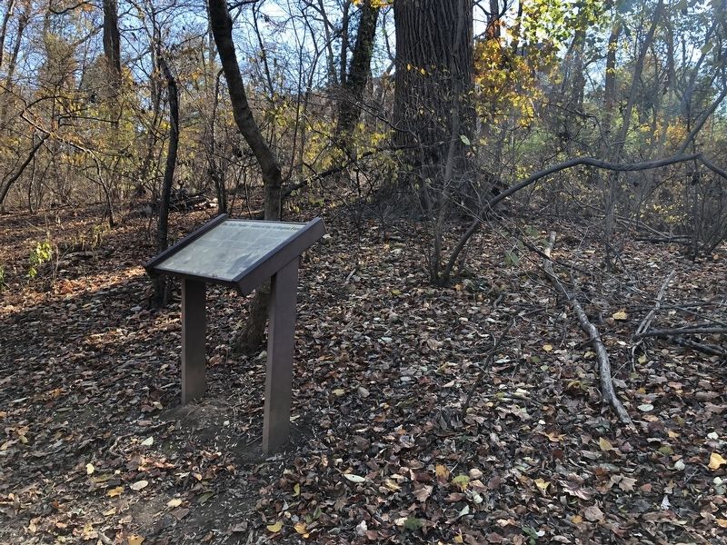
The Tulip Poplar - Giant of the Arlington Forest Marker
GEOGRAPHIC SORT Title Sort Marker Number Sort Marker Number Sort N Marker Number Sort T Publication Order Sort Publication Order Sort A Erected Year Sort Most Viewed Sort Most Recent-Interest Sort Most Recently Changed Sort SEE FAQ #33 FOR DESCRIPTIONS
Near Palisades Trail, 0.1 miles west of 22nd Court North, on the left when traveling west.
On Key Boulevard at North Ode Street, on the right when traveling west on Key Boulevard.
On Wilson Boulevard at North Arlington Ridge Road, on the right when traveling west on Wilson Boulevard.
On North Strafford Street east of North Old Glebe Road, on the right when traveling west.
On North Old Glebe Road north of North Ridgeview Road, on the right when traveling north.
On North Old Glebe Road south of North Randolph Court, on the right when traveling north.
On Old Glebe Road, on the right when traveling north. Reported permanently removed.
Near North Old Glebe Road south of North Stafford Street, on the right when traveling north.
On Old Glebe Road at North Stafford Street, on the right when traveling north on Old Glebe Road.
On North Old Glebe Road south of North Randolph Court, on the right when traveling north.
On North Strafford Street at North Richmond Street, on the right when traveling east on North Strafford Street.
On North Old Glebe Road north of North Ridgeview Road, on the right when traveling north.
Near North Stafford Street north of North Old Glebe Road, on the left when traveling east.
On South Courthouse Road at South 4th Street, on the right when traveling south on South Courthouse Road.
Near South Arlington Ridge Road.
Paid Advertisement
On Wilson Boulevard at North Courthouse Road, in the median on Wilson Boulevard.
On South Abingdon Street at South 30th Road, on the right when traveling south on South Abingdon Street.
On South 31st Street, on the right when traveling west.
On 31st Street South, 0.1 miles east of South Abingdon Street, on the left when traveling east.
Near 24th Street North. Reported permanently removed.
Near 24th Street North. Reported permanently removed.
Near 24th Street North. Reported permanently removed.
Near 24th Street North, 0.1 miles east of 23rd Road North, on the left when traveling east.
On 24th Street North, 0.1 miles west of 23rd Road North, on the right when traveling west.
On 24th Street North, 0.1 miles west of 23rd Road North, on the right when traveling west.
On 24th Street North, on the right when traveling west.
On George Washington Memorial Parkway (at milepost 2) at Fort Hunt Road, on the right when traveling north on George Washington Memorial Parkway. Reported permanently removed.
On Grove Drive, 0.3 miles west of Woodmont Road, on the left when traveling west.
Near Fort Willard Circle.
Near Fort Willard Circle.
Near Fort Willard Circle.
Paid Advertisement
Near North Kings Highway (Virginia Route 241) 0.7 miles north of Richmond Highway (U.S. 1), on the right when traveling north.
On Richmond Highway (Virginia Route 1) at Kings Highway (Virginia Route 633), on the right when traveling north on Richmond Highway.
On Tennessee Drive east of Palin Place, on the left when traveling east.
On Huntington Park Drive east of North Kings Highway (Virginia Route 241), on the left when traveling south.
On Leesburg Pike (Virginia Route 7) at Charles Street, on the right when traveling west on Leesburg Pike. Reported permanently removed.
On Sleepy Hollow Road (County Route 613) south of Leesburg Pike (Virginia Route 7), on the left when traveling south.
Near George Washington Parkway, on the right when traveling west.
Near George Washington Parkway, on the right when traveling west.
Near George Washington Memorial Parkway, 3.9 miles west of U.S. 29, on the right when traveling west.
Near Old Courthouse Road (Virginia Route 677) west of Battery Park Street, on the left when traveling west.
Near Old Courthouse Road (Route 677) west of Battery Park Street, on the left when traveling west.
Near Old Courthouse Road (Virginia Route 677) west of Battery Park Street, on the left when traveling west.
Near Old Courthouse Road (Virginia Route 677) west of Battery Park Street, on the left when traveling west.
On North Roosevelt Street, on the right when traveling east.
Near North Roosevelt Street at East Broad Street (Virginia Highway 7), on the right when traveling east.
146 entries matched your criteria. Entries 101 through 146 are listed above.
⊲ Previous 100