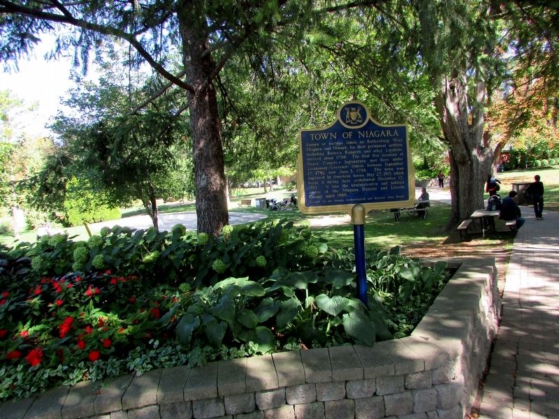
Known at various times as Butlersburg, West Niagara and Newark, its first permanent settlers, including Butler’s Rangers and other Loyalists, arrived about 1780. The first five sessions of Upper Canada’s legislature met here under . . . — — Map (db m139988) HM
Everywhere
Artillery was vitally important to the defense of Upper Canada. Due to a shortage of heavy cannons available in the province, there were only five garrison guns mounted inside Fort George in May of 1813. . . . — — Map (db m53989) HM
Ontario’s first newspaper, Upper Canada Gazette, or American Oracle was published in Niagara-on-the-Lake by Louis Roy, King’s Printer to John Graves Simcoe, founding Lieutenant Governor of Upper Canada. The first edition of four pages . . . — — Map (db m140013) HM
Manned by Captain Samuel Hatt's 5th Lincoln (Militia) Regiment and a small party of the Lincoln Militia Artillery under Lieutenant John Ball, and consisting of one 24-pounder cannon mounted within a crescent-shaped earthwork, this Battery was . . . — — Map (db m48750) HM
Built in 1796, Fort George was the scene of fierce engagements during the War of 1812. It was captured and destroyed then refortified by the Americans in 1813. It was re-taken by the British later that same year. The fort was abandoned in the . . . — — Map (db m54038) HM
If you go to the lookout behind the Laura Secord monument you will see across the river and slightly to your right the area where a huge American force assembled for the invasion of Canada. In the early hours of October 13, 1812, six hundred . . . — — Map (db m55029) HM
Upper Canada has dedicated this monument
to the memory of the late
Major-General Sir Issac Brock K.B.
Provisional Lieut.Governor and commander of the forces
in this province whose remains are deposited in the vault . . . — — Map (db m49926) HM
The monument towering above you is a memorial to Major-General Sir Isaac Brock commander of British forces in Upper Canada at the beginning of the War of 1812. Brock died on the slopes below Queenston Heights on October 13, 1812, during an . . . — — Map (db m52137) HM
[Text inscribed on stone monument]:
Home of
Laura Ingersoll
Secord.
[Text on lower plaque]:
This stone marker was placed in 1901 by the Women's Literary Club of St. Catharines
to honour Laura Secord and was re- . . . — — Map (db m51612) HM
Warriors of the Six Nations of Iroquois (Mohawks, Oniedas Onondagos, Cayugas, Senecas, Tuscaroras), mainly from the Grand River, fought as allies of the British in this historic battle with the Americans. Speaking distinctive dialects and with . . . — — Map (db m49168) HM
[English text]:
The celebrated heroine of the war of 1812 is a renowned figure in Canadian History. Determined to warn the British of an impending attack on Beaver Dams, Secord set out from her home on June 22, 1813, on a dangerous . . . — — Map (db m51613) HM
This pioneer historian, author and soldier was born in Queenston. His family moved to Amherstburg about 1802, and at the outbreak of the War of 1812 Richardson joined the British army. Retired on half pay in 1818 in London, England, he published the . . . — — Map (db m54135) HM
On October 13, 1812, following Isaac Brock's death in a preceding assault, Major-General Sheaffe assumed command and led a successful attack which dislodged an invading American force from Queenston Heights. Born in Boston, Mass., Sheaffe was . . . — — Map (db m49161) HM
[Side of Marker Using English Text]:
When the War of 1812 began, people of African descent in the Niagara peninsular feared an American invasion. They were anxious to preserve their freedom and prove their loyalty to Britain. Many joined . . . — — Map (db m49162) HM
In the early morning of 13 October 1812, American troops under Major-General Stephen Van Rensellaer crossed the Niagara River and took possession of Queenston Heights. Major-General Isaac Brock hurried from Fort George to lead a small force against . . . — — Map (db m48908) HM
The Battle of Queenston Heights
The village below you and the heights on which you are standing were the stage for the famous Battle of Queenston Heights.
It took place during the Anglo-American conflict 1812-1815 known as the . . . — — Map (db m51682) HM
On the plateau before you, the British and Americans met for battle. The British formed a line to your right, the Americans to your left. General Sheaffe formed a British counter-offensive force of nine hundred men in a line shoulder to shoulder. . . . — — Map (db m55028) HM
A timber lock with inside dimensions of 33.7m (108 ft.) by 6.6m (22 ft.) was constructed on this site between 1824 and 1827. The lock walls consisted of earth filled cribs 5.2m (16 ft) thick and 7.6m (25 ft) deep. This was the 24th lock of 39 that . . . — — Map (db m75871) HM
Born of a Loyalist family in the State of New York, Merritt became a pioneer merchant and industrialist on Upper Canada's Niagara frontier. In 1818 he began to promote construction of the Welland Canal, of which he became the first general manager . . . — — Map (db m76182) HM
Following their repulse at Stoney Creek the Americans sent a force from Fort George to destroy a British advanced post at Beaver Dams. Warned of their approach by an Indian scout and by Laura Secord, a force of Indians from Caughnawaga and the Grand . . . — — Map (db m48909) HM
[English] The arrival of Samuel de Champlain on this site, on July 26, 1615, represents one of the first manifestations of the French language in this region of Ontario. "Continuing our way by land, after leaving . . . — — Map (db m215900) HM
From this point the Canadian explorers and early fur-traders caught their first glimpse of Lake Nipissing as they paddled westward on their journey from Montreal by way of the Ottawa, Mattawa and French Rivers to the Great Lakes. Champlain viewed . . . — — Map (db m199966) HM
A United Empire Loyalist, Ryerse was commissioned in the
4th New Jersey Volunteers during the American Revolution,
following which he took refuge in New Brunswick. In 1794
he came to Upper Canada, and the following year received
3,000 acres . . . — — Map (db m234354) HM
Park Hill was built by Braddish Billings, a pioneer in local
lumbering and agriculture. Born in Massachusetts in 1783
he was the first settler of Gloucester Township in 1812, his
homestead forming the nucleus of Billings Bridge. In . . . — — Map (db m203056) HM
Born in New Jersey, Hornor first came to Upper Canada
in 1793 and visited the unsettled township of Blenheim.
Disposing of his holdings in the United States. He emigrated to Blenheim in 1795. That year he completed (on lot 15, concession I) the . . . — — Map (db m231304) HM
Erected 1928
To commemorate
opening Huron Road
by the Canada Company
1828
This marks place of
log building occupied by
Sebastian & Mary
Fryfogel
first settlers in
Perth County 1829 — — Map (db m233404) HM
Born in Scotland, Macdonell came to New York in 1773. Commissioned ensign in the Royal Highland Emigrants (84th Regiment) in June 1775 and later transferred to Butler's Rangers, Macdonell served with distinction until 1784 when he settled with his . . . — — Map (db m103602) HM
This pioneer clergyman, legislator and teacher was born in 1778 in Aberdeen, Scotland, and in 1799 came to Kingston as a tutor. In 1803, after entering the Church of England, he was ordained and appointed missionary at Cornwall. Here in . . . — — Map (db m103641) HM
English:
The United Empire Loyalists played a prominent role in the development of this country. In particular, the officers and men of the Royal Highland Emigrants, the King's Royal Regiment of New York, the Loyal Rangers and the . . . — — Map (db m139503) HM
Born in Inverness-shire, Scotland, McGillivray joined the North West Company in 1784, became a partner in 1790 and its principal director in 1804. Fort Kaministiquia, the Company's wilderness headquarters, was renamed Fort William in his honour in . . . — — Map (db m106759) HM
This battery saw action during the Battle of York in 1813. It survived the American occupation and became part of the rebuilt fort of 1813-15. Today it reflects its 1816 appearance, when it held two artillery pieces. It was modified to hold five . . . — — Map (db m237599) HM
Like the No. 2 Blockhouse, this was one of the first buildings constructed during the refortification of Toronto in the second half of the War of 1812. The depression in the ground by the north wall is the approximate surface grade here in 1813; . . . — — Map (db m237598) HM
132 entries matched your criteria. Entries 101 through 132 are listed above. ⊲ Previous 100