By Barry Swackhamer, July 17, 2021
Railroad Survey of 1873 Marker
| On Front Street near South 5th Avenue, on the right when traveling north. |
| On Old Highway 10 near Smith Creek Road, on the left when traveling west. |
| On Rosebud Creek Road (County Road 447) at Snider Creek Road, on the left when traveling south on Rosebud Creek Road. Reported unreadable. |
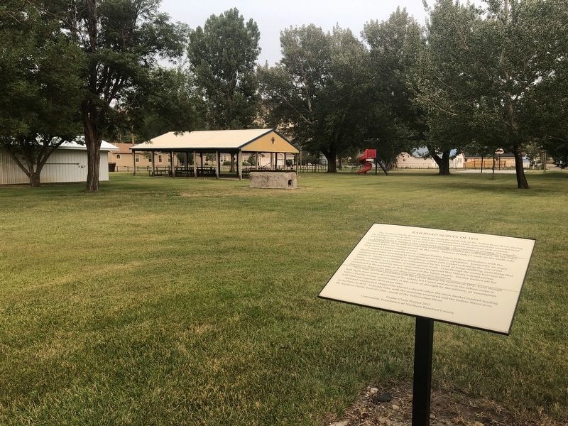
| On Main Street near River Road, on the right when traveling west. |
| On Rosebud Creek Road (County Road 447) 9 miles south of Interstate 94, on the left when traveling north. |
| On Rosebud Creek Road (County Road 447) 4 miles south of Interstate 94, on the left when traveling north. |
| On Fishing Access Road near State Highway 446. |
| Near Interstate 94 at milepost 117 near Graveyard Creek Road, on the right when traveling west. |
| Near Fishing Access Road near State Highway 446. |
| On Frontage Road/Old Highway 10 near Interstate 94, on the left when traveling west. |
| On East 1st Avenue (State Highway 16/5) 0.3 miles east of Lavalley Street, on the right when traveling east. |
| Near Interstate 90 at milepost 419, on the right when traveling west. |
| On Interstate 90 at milepost 419, on the right when traveling east. |
| On U.S. 2 at milepost 283 near Kraft Road, on the left when traveling east. |
| On Old Highway 10/Sitting Bull Avenue near Big Horn Road, on the left when traveling west. |
| On Elliot Avenue at Division Street, on the left when traveling west on Elliot Avenue. |
| Near Myers Road (State Highway 311) near Old Myers Road, on the right when traveling west. |
| On Old Highway 10 near Cole Lane, on the left when traveling west. |
| On 6th Avenue Bypass, 0.1 miles south of E. Airport Road, on the left when traveling south. |
| On Montana Avenue (Business Interstate 90) near North 22nd Street, on the right when traveling east. |
| On Chief Black Otter Trail near Rimtop Drive, on the right when traveling south. |
| Near Chief Black Otter Trail near East Airpot Road, on the right when traveling east. |
| On Montana Avenue (Business Interstate 90) near North 22nd Street, on the right when traveling east. |
| On Montana Avenue (Business Interstate 90) near North 23rd Street. |
| On Montana Avenue (Business Interstate 90) near North 23rd Street, on the right when traveling east. |
| On 8th Street near 4th Avenue, on the right when traveling south. |
| On Interstate 94, on the right when traveling east. |
| Near Interstate 94 at milepost 41, on the right when traveling west. |
| On Lipp Road at Buffalo Trail Road, on the right when traveling north on Lipp Road. |
| On Lipp Road at Buffalo Trail Road, on the right when traveling north on Lipp Road. |
| On Buffalo Trail Road at Lipp Road, on the right when traveling north on Buffalo Trail Road. |
| On Lipp Road at Buffalo Trail Road, on the right when traveling west on Lipp Road. |
| On East Main Street (Old U.S. 10) near 1st Avenue, on the left when traveling west. |
| Near Old Highway 312, 0.5 miles east of Bundy Road. |
| On Old Highway 312, 0.3 miles east of Bundy Rd, on the left when traveling east. |
135 entries matched your criteria. Entries 101 through 135 are listed above.
⊲ Previous 100