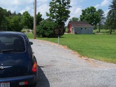
By Rev. Ronald Irick, July 9, 2010
Greenville Treaty Line Marker
RANKED BY RELEVANCE
| On Waterford Road (County Route 6) 0.1 miles north of Yankee Street (County Route 55), on the right when traveling north. |
| Near East High Street (U.S. 36) east of South Gay Street (Ohio Route 13), on the right when traveling east. |
| On Main Street (State Highway 3) at High Street (U.S. 36), in the median on Main Street. |
| On North Main Street south of West Hamtramck Street, on the right when traveling south. |
| On West Ohio Avenue at Walnut Alley, on the left when traveling west on West Ohio Avenue. |
| On Lower Gambier Road (County Route 262) at Mount Vernon Avenue, on the right when traveling south on Lower Gambier Road. |
| On Rich Hill Bloomfield Road (County Road 204) north of Mount Vernon Olive Green Road (County Road 13/404), on the right when traveling north. |
| On Laymon Road at Porter Road, on the right when traveling south on Laymon Road. |
| On Johnstown Road (County Route 19) at Possum Street (County Route 23), on the left when traveling south on Johnstown Road. |
| On Quarry Chapel Rd (County Route 235) at Monroe Mills Rd (County Route 233), on the right when traveling east on Quarry Chapel Rd. |
| Near Station Road south of Coshocton Avenue (U.S. 36). |
| On Public Square (Ohio Route 3) at West High Street (U.S. 36), in the median on Public Square. |
| On High Street (U.S. 36) at Public Square, on the left when traveling east on High Street. |
| On Baltimore Pike (State Highway 97), on the right when traveling north. |
| On Main Street (U.S. 36) at Clayton Street, on the right when traveling west on Main Street. |
| On Walley Road (County Route 360) at Vess Road (County Route 357), on the right when traveling north on Walley Road. |
| On Laymon Road at Porter Road, on the right when traveling south on Laymon Road. |
| On Meadow Lane at Kokosing Gap Trail, on the right when traveling south on Meadow Lane. |
| On West Main Street west of South Gay Street. |
| On Main Street (Illinois Route 97) north of 4th Street, in the median. |
| On William Street north of West Broadway Street, on the left when traveling north. |
| On Yankee Street east of Ohio Route 13, on the left when traveling east. |
| On East High Street at Cucumber Alley, on the right when traveling west on East High Street. |
| On East High Street (U.S. 36) at South McArthur Street, on the right when traveling east on East High Street. |
| On Wooster Road (Ohio Route 3) at Grandview Drive, on the right when traveling west on Wooster Road. |
| Near South Lowder Street south of West Railroad Avenue, on the right when traveling south. |
| On East College Street at North Pleasant Street, on the right when traveling east on East College Street. |
| On Old Knoxville Highway (Tennessee Route 33), on the right when traveling north. |
| Near South Feazel Street just north of Bauman Lane, on the right when traveling north. |
| On East Lafayette (Missouri Route 6) just west of North 4th, on the right when traveling west. |
| On Main Street (State Highway 3) near High Street (U.S. 36), in the median. |
| On East High Street (U.S. 36) just east of Spice Alley, on the right when traveling west. |
| On Loves Creek 0.1 miles north of McIntyre Road, on the right when traveling north. |
| On Wally Road (County Route 211), on the left when traveling south. |
| On South Market Street (Ohio Route 3) just south of West Main Street ( Route 39), on the right when traveling south. |
| On North Gay Street at East Lamartine Street Extension, on the right when traveling north on North Gay Street. |
Thin black lines indicate changes in relevance. Between each pair of lines entries are ordered geographically but all have the same relevance.* Inflectional forms of words are their plurals, singulars, and possessives as well as gramatical tenses and similar variations.
Nov. 13, 2026
