By Cosmos Mariner, June 28, 2022
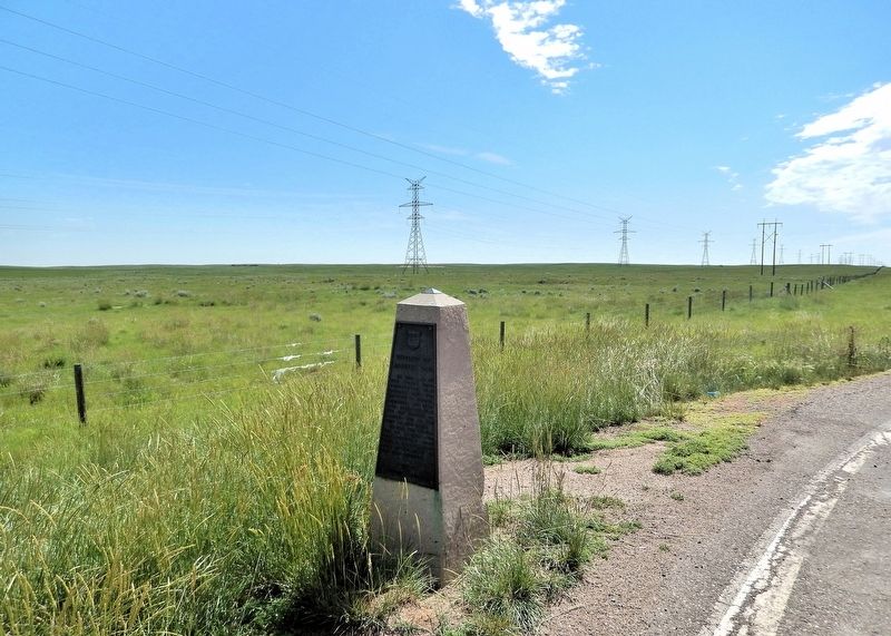
District of Alberta, 1882 Marker
| On Trans-Canada Highway (Provincial Highway 1) 2.2 kilometers west of Range Road 105, on the right when traveling west. |
| On Trans-Canada Highway (Provincial Highway 1) 2.2 kilometers west of Range Road 105, on the right when traveling west. |
| On Trans-Canada Highway (Provincial Highway 1) 2.2 kilometers west of Range Road 105, on the right when traveling west. |
| On Trans-Canada Highway (Buffalo Trail) (Provincial Highway 1/41) 0.5 kilometers east of Range Road 34, on the right when traveling east. |
| On 1 Street Southeast (Provincial Highway 41A) 0.1 kilometers west of 6 Avenue Southeast, on the right when traveling west. |
| On First Street (National Highway 41) at 6th Ave. SE, on the left when traveling east on First Street. |
| On 6th Street at First Street (National Highway 41), on the left when traveling north on 6th Street. |
| On 1 Street Southeast (Provincial Highway 41A) just west of 5 Avenue Southeast, on the right when traveling west. |
| On First Street (National Highway 41) at 6th Ave. SE, on the left when traveling east on First Street. |
| On 1 Street Southeast (Provincial Highway 41A) just east of 4 Avenue Southeast (Provincial Highway 41A), on the right when traveling east. |
| On 4 Street Southeast just west of 5 Avenue Southeast, on the right when traveling west. |
| On 6th Avenue SE 0.1 kilometers north of 1st Street SE (Provincial Route 41A), on the left when traveling north. |
| On 6th Avenue SE 0.1 kilometers north of 1st Street SE (Provincial Route 41A), on the left when traveling north. |
| On 1 Street Southeast just west of 4 Avenue Southeast (Provincial Highway 41A), on the right when traveling west. |
| On 2 Street Southeast just west of South Railway Street, on the left when traveling west. |
| Near 1 Street Southeast (Provincial Highway 41A) just east of 6 Avenue Southeast, on the left when traveling east. |
| On 3rd Street Southeast at 6 Avenue Southeast, on the right when traveling east on 3rd Street Southeast. |
| On First Street (National Highway 41) at 6th Ave. SE, on the left when traveling east on First Street. |
| On First Street (National Highway 41) at 6th Ave. SE, on the left when traveling east on First Street. |
| On 1st Street SE (National Highway 41) at 6th Ave. SE, on the left when traveling east on 1st Street SE. |
| On 1st Street SE (National Highway 41) at 6th Ave. SE, on the left when traveling east on 1st Street SE. |
| On 2 Street Southeast just west of South Railway Street, on the left when traveling west. |
| On 2nd Street Southeast just east of 6th Avenue Southeast, on the left when traveling west. |
| On River Road Southeast 0.3 kilometers east of 4 Avenue Southeast, on the left when traveling east. |
| On 1 Street Southeast (Provincial Highway 41A) 0.1 kilometers west of 6 Avenue Southeast, on the right when traveling west. |
| On 2 Street Southeast at 5 Avenue Southeast, on the right when traveling west on 2 Street Southeast. |
| On 2 Street Northeast just west of 2 Avenue Northeast, on the right when traveling west. |
| Near Southridge Drive Southeast just south of Trans-Canada Highway (Provincial Highway 1), on the right when traveling south. |
| On 3rd Street Southeast just east of 4th Avenue Southeast (Macleod Trail Southeast) (Provincial Highway 41A), on the left when traveling east. |
