By Devry Becker Jones (CC0), April 3, 2021
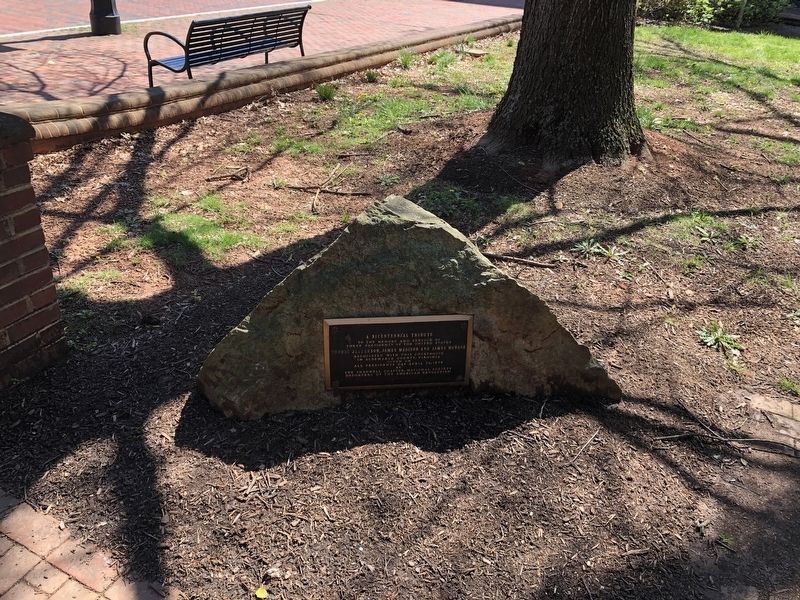
A Bicentennial Tribute Marker
GEOGRAPHIC SORT Title Sort Marker Number Sort Marker Number Sort N Marker Number Sort T Publication Order Sort Publication Order Sort A Erected Year Sort Most Viewed Sort Most Recent-Interest Sort Most Recently Changed Sort SEE FAQ #33 FOR DESCRIPTIONS
On Park Street at East Jefferson Street on Park Street.
On Park Street north of East Market Street, on the left when traveling north.
On Harry Byrd Highway (Route 7) at Blueridge Mountain Road (Virginia Route 601), on the right when traveling west on Harry Byrd Highway. Reported missing.
Near Kent Road, 0.2 miles north of Outlet Road, on the right when traveling north.
Near George Washington Memorial Parkway (at milepost 7).
On Historic Sully Way, 0.8 miles south of Air and Space Museum Parkway, on the right when traveling south.
On Potomac Hills Street, 0.6 miles east of Jeffery Road, on the left when traveling east.
On Colvin Run Road (Virginia Route 743) east of Robindale Drive, on the right when traveling east.
Near High Point Road, 2.8 miles south of Gunston Road (Virginia Route 242/600), on the right when traveling south.
On Princess Anne Street, 0.1 miles south of Dixon Street, on the right when traveling south.
On Caroline Street just north of Princess Elizabeth Street, on the right when traveling north.
Near Charles Street south of William Street, on the right when traveling south.
Near Charles Street south of William Street, on the right when traveling south.
Near Charles Street south of William Street, on the right when traveling south.
On Ingalls Road (U.S. 258) at Main Gate, on the left when traveling south on Ingalls Road.
Paid Advertisement
Near Brook Road (U.S. 1) 0.1 miles west of Brook Road (U.S. 1), on the left when traveling north.
Near Park Street at Bloomingdale Avenue.
On Brook Turnpike (U.S. 1) 0.1 miles south of Hilliard Road, in the median.
On Lakeside Avenue (Virginia Route 161) at Park Street, on the right when traveling north on Lakeside Avenue.
On Jamestown Road (Virginia Route 31) south of Greenspring Road (Virginia Route 614), on the left when traveling south.
On James Monroe Highway (U.S. 15) south of New Road, on the right when traveling north.
On James Monroe Highway (U.S. 15) at John Mosby Highway (U.S. 50), on the right when traveling north on James Monroe Highway.
On East Market Street (Business Virginia Route 7) at North King Street (Business U.S. 15), on the right when traveling west on East Market Street.
On South King Street (U.S. 15) at Masons Lane (County Route 654), on the right when traveling north on South King Street.
On Temple Hall Lane, 0.1 miles north of Limestone School Road (County Route 661), on the left when traveling north. Reported missing.
On Temple Hall Lane, 0.3 miles north of Limestone School Road (Virginia Route 661), on the left when traveling north.
On James Monroe Highway (U.S. 15) 0.1 miles south of Lovettsville Road, on the right when traveling south.
On Harry Byrd Highway [Leesburg Pike] (Virginia Route 7) west of Dranesville Road (Virginia Route 228), in the median.
On Old Vestals Gap Road, on the right when traveling west.
Near Taylor Street north of 4th Street when traveling north.
Paid Advertisement
On North Main Street (U.S. 15/33) at East Gordon Avenue (U.S. 15), on the right when traveling north on North Main Street.
On James Madison Highway (U.S. 15) 0.6 miles south of Sudley Road (Virginia Route 234), on the right when traveling south.
On North 12th Street, 0.1 miles north of East Broad Street, on the right when traveling north.
Near S. Cherry Street at Albemarle Street.
Near South Cherry Street at Albemarle Street.
Near Pacific Avenue (Route 60) just south of 14th Street, on the right when traveling north.
Near James Monroe Highway (Virginia Route 205) 0.3 miles north of Old Road, on the right when traveling north.
On James Monroe Highway (Virginia Route 205), on the left when traveling south.
Near James Monroe Highway (Virginia Route 205) 0.3 miles north of Old Road, on the right when traveling north.
On James Monroe Highway (Virginia Route 205), on the left when traveling south.
On James Monroe Highway (Virginia Route 205) 0.3 miles north of Old Road, on the right when traveling north.
On James Monroe Highway (Virginia Route 205), on the left when traveling south.
On James Monroe Highway (Virginia Route 205) 0.2 miles north of Old Road, on the right when traveling north.
Near James Monroe Highway (Virginia Route 205) 0.3 miles north of Old Road, on the right when traveling north.
On James Monroe Highway (Virginia Route 205) 0.2 miles north of Old Road, on the right when traveling north.
Near James Monroe Highway (Virginia Route 205) 0.3 miles north of Old Road, on the right when traveling north.
Paid Advertisement
On Kings Highway (Virginia Route 3) at Trigger Lane (County Route 683), on the right when traveling west on Kings Highway.
Near James Monroe Highway (Virginia Route 205) 0.3 miles north of Old Road, on the right when traveling north.
Near James Monroe Highway (Virginia Route 205) 0.3 miles north of Old Road, on the right when traveling north.
Near James Monroe Highway (Virginia Route 205) 0.3 miles north of Old Road, on the right when traveling north.
Near James Monroe Highway (Virginia Route 205) 0.3 miles north of Old Road, on the right when traveling north.
Near James Monroe Highway (Virginia Route 205) 0.3 miles north of Old Road, on the left when traveling south.
Near James Monroe Highway (Virginia Route 205) 0.3 miles north of Old Road, on the right when traveling north.
Near James Monroe Highway (Virginia Route 205) 0.3 miles north of Old Road, on the right when traveling north.
On James Monroe Highway (Virginia Route 205) north of Old Road, on the right when traveling north.
On Cople Highway (Virginia Route 202) just west of the Hampton Hall Bridge over Hampton Hall Branch, on the right when traveling east.
On Kings Highway (Virginia Route 3) just west of James Monroe Highway (Virginia Route 205), on the right when traveling east.
Near Upper Hoh Road, 0.1 miles east of Linder Creek Lane, on the left when traveling east.
Near South Monroe Street at Railroad Avenue (West Virginia Route 3).
On Little Kanawa Connector.
Near Riverside Drive (State Highway 57) at Lazarre Avenue.
162 entries matched your criteria. Entries 101 through 162 are listed above.
⊲ Previous 100