
28 entries match your criteria.
The '89er Trail Historical Markers
The '89er Trail is a series of 28 historical markers placed where the events took place that helped create the City of Oklahoma City, from the attempts of the Boomers to settle in the Unassigned Lands to the election of the City's first mayor in 1890.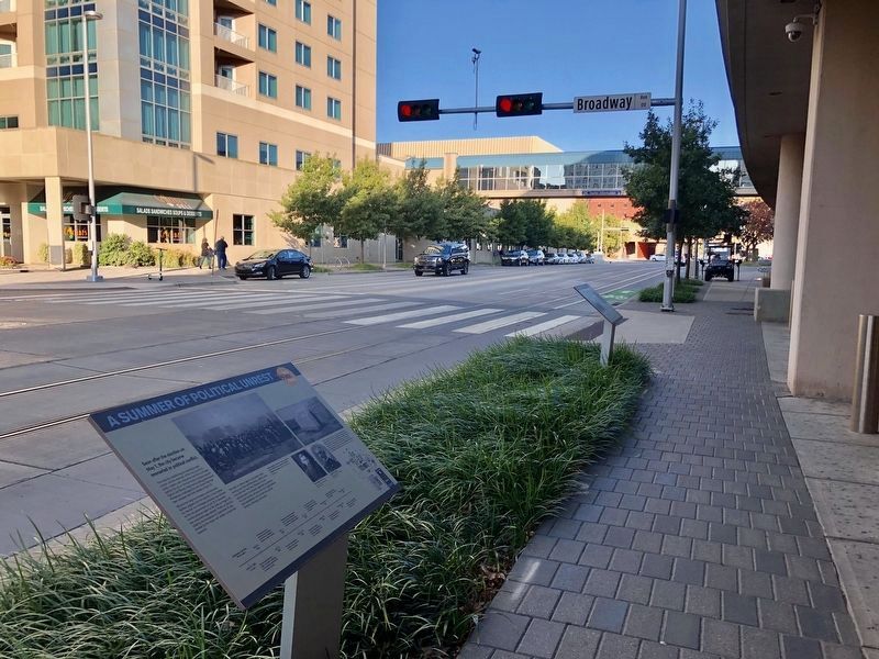
By Mark Hilton, October 21, 2019
A Summer of Political Unrest Marker in the foreground.
1 ► Oklahoma, Oklahoma County, Oklahoma City, Central Oklahoma City — 8 — A Summer of Political Unrest — The ‘89er Trail —  |
| On West Sheridan Avenue at North Broadway Avenue, on the right when traveling east on West Sheridan Avenue. | |||
| 2 ► Oklahoma, Oklahoma County, Oklahoma City, Central Oklahoma City — 28 — Angelo C. Scott — The ‘89er Trail — |
| On West Main Street west of North Broadway Avenue, on the right when traveling east. | |||
| 3 ► Oklahoma, Oklahoma County, Oklahoma City, Central Oklahoma City — 16 — Beale Defeats Overholser For Mayor — Oklahoma City November 27, 1889 — The ‘89er Trail — |
| On Latting Circle south of Park Avenue, on the left when traveling north. | |||
| 4 ► Oklahoma, Oklahoma County, Oklahoma City, Central Oklahoma City — 23 — C.G. "Gristmill" Jones — Oklahoma City 1889-1903 — The '89er Trail — |
| On S Robinson Ave west of SW 7th St. | |||
| 5 ► Oklahoma, Oklahoma County, Oklahoma City, Central Oklahoma City — 25 — Charles Colcord — The ‘89er Trail — |
| On West Sheridan Avenue west of Ron Norick Boulevard, on the left when traveling west. | |||
| 6 ► Oklahoma, Oklahoma County, Oklahoma City, Central Oklahoma City — 10 — City Hall by Forfeiture — The ‘89er Trail — |
| On West Sheridan Avenue at North Broadway Avenue, on the right when traveling east on West Sheridan Avenue. | |||
| 7 ► Oklahoma, Oklahoma County, Oklahoma City, Central Oklahoma City — 14 — Hell's Half Acre — The ‘89er Trail — |
| On South E.K. Gaylord Boulevard north of Reno Avenue, on the right when traveling north. | |||
| 8 ► Oklahoma, Oklahoma County, Oklahoma City, Central Oklahoma City — 26 — Henry Overholser — The ‘89er Trail — |
| On West Sheridan Avenue west of Ron Norick Boulevard, on the left when traveling west. | |||
| 9 ► Oklahoma, Oklahoma County, Oklahoma City, Central Oklahoma City — 11 — Indian Lands Near the Unassigned Lands — Oklahoma City May 23-24, 1889 — The ’89er Trail — |
| On West Main Street west of North E.K. Gaylord Boulevard, on the right when traveling west. | |||
| 10 ► Oklahoma, Oklahoma County, Oklahoma City, Central Oklahoma City — 2 — Indians, Railroads, Ranchers & the Military — The '89er Trail — Oklahoma City April 20, 1889 — |
| On East Sheridan Avenue west of Mickey Mantle Drive, on the right when traveling east. | |||
| 11 ► Oklahoma, Oklahoma County, Oklahoma City, Central Oklahoma City — 21 — Military Land Becomes School Land — Oklahoma City 1889-1894 — The '89er Trail — |
| On South Mickey Mantle Drive north of Johnny Bench Drive, on the right when traveling north. | |||
| 12 ► Oklahoma, Oklahoma County, Oklahoma City, Central Oklahoma City — 19 — Prominent Land Cases — Oklahoma City 1890- Early 1900s — The ‘89er Trail — |
| On Latting Circle north of Park Avenue, on the left when traveling north. | |||
| 13 ► Oklahoma, Oklahoma County, Oklahoma City, Central Oklahoma City — 6 — Settling the Conflicting Surveys — Oklahoma City April 27, 1889 — The ‘89er Trail — |
| On West Main Street at North Broadway Avenue, on the right when traveling east on West Main Street. | |||
| 14 ► Oklahoma, Oklahoma County, Oklahoma City, Central Oklahoma City — 12 — South Oklahoma — Oklahoma City April 23-27, 1889 — The ‘89er Trail — |
| On Reno Avenue at Ron Norick Boulevard, on the right when traveling west on Reno Avenue. | |||
| 15 ► Oklahoma, Oklahoma County, Oklahoma City, Central Oklahoma City — 27 — T.M. Richardson and the Oklahoma Bank — The ‘89er Trail — |
| On West Sheridan Avenue west of Ron Norick Boulevard, on the left when traveling west. | |||
| 16 ► Oklahoma, Oklahoma County, Oklahoma City, Central Oklahoma City — 1 — The Boomers — 1879-1889 — The ‘89er Trail — |
| On East Sheridan Avenue west of Mickey Mantle Drive, on the right when traveling east. | |||
| 17 ► Oklahoma, Oklahoma County, Oklahoma City, Central Oklahoma City — 9 — The Building of Oklahoma City — The ‘89er Trail — |
| On West Sheridan Avenue at South EK Gaylord Avenue, on the right when traveling north on West Sheridan Avenue. | |||
| 18 ► Oklahoma, Oklahoma County, Oklahoma City, Central Oklahoma City — 22 — The Canal — Fall 1889 to Christmas 1890 — The '89er Trail — |
| On South Harvey Avenue. | |||
| 19 ► Oklahoma, Oklahoma County, Oklahoma City, Central Oklahoma City — 24 — The Choctaw Road — Oklahoma City 1889-1891 — The '89er Trail — |
| On North Broadway Avenue south of Robert S Kerr Avenue, on the right when traveling south. | |||
| 20 ► Oklahoma, Oklahoma County, Oklahoma City, Central Oklahoma City — 5 — The Citizens' Committee — Oklahoma City April 23, 1889 — The ‘89er Trail — |
| On West Main Street west of North Broadway Avenue, on the right when traveling east. | |||
| 21 ► Oklahoma, Oklahoma County, Oklahoma City, Central Oklahoma City — 7 — The Election of May 1, 1889 — The ‘89er Trail — |
| On West Main Street, on the right when traveling east. | |||
| 22 ► Oklahoma, Oklahoma County, Oklahoma City, Central Oklahoma City — 20 — The Ill-Fated July Fourth Celebration — Oklahoma City July 4-6, 1889 — The '89er Trail — |
| On West Sheridan Avenue at North Mickey Mantle Drive, on the right when traveling west on West Sheridan Avenue. | |||
| 23 ► Oklahoma, Oklahoma County, Oklahoma City, Central Oklahoma City — 3 — The Land Run — The ‘89er Trail — |
| On South EK Gaylord Avenue at West Sheridan Avenue, on the right when traveling north on South EK Gaylord Avenue. | |||
| 24 ► Oklahoma, Oklahoma County, Oklahoma City, Central Oklahoma City — 4 — The Land Run — Oklahoma City April 22, 1889 — The ‘89er Trail — |
| On South E.K. Gaylord Boulevard north of Reno Avenue, on the right when traveling north. | |||
| 25 ► Oklahoma, Oklahoma County, Oklahoma City, Central Oklahoma City — 18 — The New Framework of Government — Oklahoma City May-August, 1890 — The ‘89er Trail — |
| On Latting Circle north of Park Avenue, on the left when traveling north. | |||
| 26 ► Oklahoma, Oklahoma County, Oklahoma City, Central Oklahoma City — 17 — The Oklahoma Territory Organic Act — Washington D.C. May 2, 1890 — The ‘89er Trail — |
| On Latting Circle at Park Avenue, on the left when traveling north on Latting Circle. | |||
| 27 ► Oklahoma, Oklahoma County, Oklahoma City, Central Oklahoma City — 15 — The Resignation of Mayor William L. Couch — Oklahoma City November 11, 1889 — The ‘89er Trail — |
| On South Hudson Avenue at West Sheridan Avenue, on the right when traveling north on South Hudson Avenue. | |||
| 28 ► Oklahoma, Oklahoma County, Oklahoma City, Central Oklahoma City — 13 — Visit of the Congressmen — Oklahoma City September 17, 1889 — The '89er Trail — |
| On Ron Norick Boulevard south of West Sheridan Avenue, on the right when traveling south. | |||