Marker Logo HMdb.org THE HISTORICAL
MARKER DATABASE
“Bite-Size Bits of Local, National, and Global History”


46 entries match your criteria.  


Orange and Alexandria Railroad Historical Markers

Now part of Norfolk Southern, this rail line connected Alexandria, Virginia with central Virginia and played an important role in the Civil War.
 
Maj. Henry C. Whelan Marker image, Touch for more information
By Devry Becker Jones (CC0), January 13, 2023
Maj. Henry C. Whelan Marker
1 Pennsylvania, Philadelphia County, Philadelphia, Society Hill — Maj. Henry C. Whelan
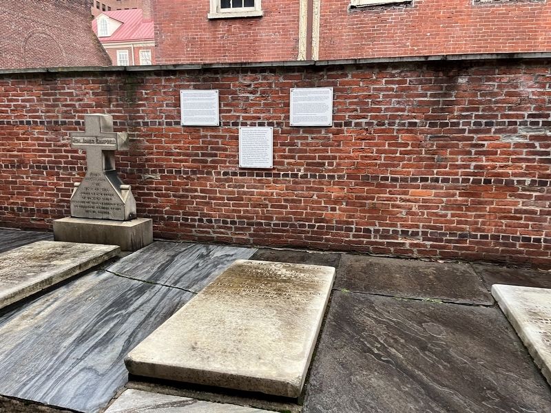
On South 4th Street south of Locust Street, on the left when traveling north.
2 Virginia, Alexandria, Old Town — Alexandria Railroads
Near Wilkes Street at South Royal Street, in the median.
3 Virginia, Alexandria, Old Town — Orange & Alexandria Roundhouse
Near Wilkes Street east of South Royal Street, on the left when traveling east.
4 Virginia, Alexandria, Old Town — Wilkes Street Tunnel
Near Wilkes Street at South Royal Street, in the median.
5 Virginia, Alexandria, Old Town — Wilkes Street TunnelCity of Alexandria Est. 1749 — Alexandria Heritage Trail —
On South Union Street, 0.1 miles south of Wolfe Street, on the right when traveling south.
6 Virginia, Alexandria, Southwest Quadrant — Hooff's Run BridgeAlexandria Heritage Trail
On Jamieson Avenue at Daingerfield Road, on the right when traveling west on Jamieson Avenue.
7 Virginia, Alexandria, Taylor Run — The Bloxham Cemetery: Portal to the PastAlexandria Heritage Trail — City of Alexandria, est. 1749 —
On Business Center Drive east of Witter Drive, on the left when traveling north.
8 Virginia, Amherst County, Amherst — The Amherst Depot
On South Amherst Highway (U.S. 29) just south of Richmond Highway (U.S. 60), on the right when traveling north.
9 Virginia, Culpeper County, Culpeper — Culpeper Court HouseBattle of Culpeper Court House
On South Commerce Street, on the left when traveling south on South Commerce Street.
10 Virginia, Culpeper County, Culpeper — J-6 — John S. Barbour’s Birthplace
On Sperryville Pike (U.S. 522), on the right when traveling south.
11 Virginia, Fairfax County, Burke — Marshall Family CemeteryBurke Station, Virginia — John A. Marshall (1821-1892); Mary J. Davis Marshall (1826-1887) —
Near Parakeet Drive, 0.5 miles west of Kite Street, on the left when traveling west.
12 Virginia, Fairfax County, Burke — E-95 — Silas Burke House
On Burke Lake Road (County Route 645) near Shipplet Boulevard, on the right when traveling east.
13 Virginia, Fairfax County, Clifton — E-101 — Devereux Station
On Main Street (Virginia Route 645) at Ford Lane, on the right when traveling north on Main Street.
14 Virginia, Fairfax County, Clifton — Sangster’s Station“Tears And Love For the Blue—Love and Tears for the Grey”
Near Main Street (Virginia Route 645) at Ford Lane, on the right when traveling north. Reported permanently removed.
15 Virginia, Fairfax County, Clifton — Sangster's Station"Tears And Love For The Blue - Love And Tears For The Grey"
On Main Street (Virginia Route 645) at Ford Lane, on the right when traveling north on Main Street.
Paid Advertisement
16 Virginia, Fairfax County, Fairfax Station — Fairfax Station“The angel of the battlefield.”
On Fairfax Station Road, 0.4 miles west of Ox Road (Virginia Route 123), on the right when traveling west.
17 Virginia, Fairfax County, Fairfax Station — Welcome to Fairfax Station
On Fairfax Station Road west of Hill Street, on the right when traveling west.
18 Virginia, Fairfax County, North Springfield — Orange and Alexandria RailroadStrategic Target
On Accotink Park Road, 1.2 miles west of Highland Street, on the left when traveling north.
19 Virginia, Fairfax County, Springfield — BW-4 — Orange and Alexandria Railroad
On Accotink Park Road at Southern Drive on Accotink Park Road.
20 Virginia, Fairfax County, Springfield — Orange and Alexandria RRStrategic Target
On Accotink Park Road, on the left when traveling east. Reported missing.
21 Virginia, Fairfax County, Springfield — Springfield Station
On Hechinger Drive near Backlick Road (County Route 617), on the left when traveling east.
22 Virginia, Fairfax County, Springfield — The Orange And Alexandria Railroad Trestle
On Accotink Park Road, on the left when traveling east. Reported missing.
23 Virginia, Fauquier County, Remington — Rappahannock StationA Rare Night Attack on the River — Mosby’s Confederacy
On Remington Road (Business U.S. 15/29) south of Summerduck Road (County Route 651). Reported damaged.
24 Virginia, Fauquier County, Warrenton — The TurntableWarrenton, VA - Circa 1939
On Warrenton Branch Greenway, 0.2 miles south of South 5th Street, on the right when traveling south.
25 Virginia, Manassas — Battle of Bull Run BridgeConfederates in the Earthworks — August 27, 1862 —
Near Battery Heights Boulevard south of Quarry Road when traveling south.
26 Virginia, Manassas — Jackson's Raid1862
On West Street just south of Center Street (Virginia Route 28), on the left when traveling south.
27 Virginia, Manassas — ManassasA Critical Junction
Near Prince William Street just west of Main Street, on the left when traveling west.
28 Virginia, Manassas — Mayfield Fort1861 - 1864
On Battery Heights Boulevard south of Quarry Road, on the right when traveling north.
29 Virginia, Manassas — Occupation or Liberation
On Prince William Street at Battle Street, on the right when traveling east on Prince William Street.
30 Virginia, Manassas — War on the Landscape1861
Near Prince William Street just west of Main Street, on the left when traveling west.
31 Virginia, Manassas — Wartime Manassas"Defend that point against an attack"
On Prince William Street at Wellington Road, on the left when traveling west on Prince William Street.
Paid Advertisement
32 Virginia, Manassas — Why the Forts?May 8, 1861
Near Battery Heights Boulevard south of Quarry Road, on the right when traveling north.
33 Virginia, Manassas Park — Battle of Bull Run Bridge“Let this not become another Bull Run” — Second Manassas Campaign
On Connor Drive. Reported permanently removed.
34 Virginia, Manassas Park — Battle of Bull Run Bridge"Let this not become another Bull Run" — Second Manassas Campaign —
On Conner Drive at Euclid Avenue, on the left when traveling east on Conner Drive.
35 Virginia, Manassas Park — Conner HouseHeadquarters and Refuge
Near Conner Drive east of Centreville Road (Virginia Route 28). Reported permanently removed.
36 Virginia, Manassas Park — Conner HouseHeadquarters and Refuge
On Conner Drive, 0.2 miles east of Euclid Avenue, on the left when traveling east.
37 Virginia, Orange County, Orange — Historic Downtown Orange
On Short Street just south of East Main Street, on the left when traveling north.
38 Virginia, Orange County, Orange — F-30 — Orange Train Station
On East Main Street (State Highway 20) at Short Street, on the right when traveling east on East Main Street.
39 Virginia, Orange County, Orange — The Orange Railroad DepotThe Orange & Alexandria Railroad — Crossing —
On Short Street just south of East Main Street, on the right when traveling south.
40 Virginia, Orange County, Orange — Welcome to… The Town of OrangeSweet Living, Steady Progress — www.townoforangeva.org —
On Short Street just south of East Main Street, on the right when traveling south.
41 Virginia, Prince William County, Bristow — Bristoe Station"Twice Baptized"
On Bristow Road (Virginia Route 619) just south of Nokesville Road (Virginia Route 28), on the left when traveling south.
42 Virginia, Prince William County, Bristow — Bristoe Station Battlefield Heritage Park
On 10th Alabama Way just south of Iron Brigade Unit Avenue, on the right when traveling south.
43 Virginia, Prince William County, Bristow — Bristoe Station Battlefield Heritage Park
On Iron Brigade Unit Avenue, on the right when traveling east. Reported missing.
44 Virginia, Prince William County, Bristow — Federal Winter Quarter
Near 10th Alabama Way, 0.1 miles Iron Brigade Unit Avenue, on the right when traveling south.
45 Virginia, Prince William County, Nokesville — A Narrow EscapeEngagement at Kettle Run — Second Manassas Campaign —
On Aden Road (Virginia Route 646) at Marsteller Drive, on the right when traveling south on Aden Road.
46 Virginia, Prince William County, Nokesville — Early & Gordon at Bristoe StationA Missed Opportunity
On Aden Road (Virginia Route 646) at Marsteller Drive, on the right when traveling south on Aden Road.
 
 
CeraNet Cloud Computing sponsors the Historical Marker Database.
This website earns income from purchases you make after using our links to Amazon.com. We appreciate your support.
Paid Advertisement
May. 7, 2024