By Connor Olson, November 25, 2023
Big Eddy Springs Marker on the left
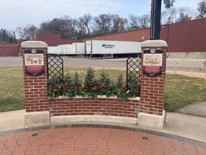
| Near Jefferson Avenue north of East Elm Street. |
| On Jefferson Avenue near Elm Street. |
| On Jefferson Avenue near East Elm Street. |
| On East Park Avenue (County Highway J) 0.1 miles west of Industrial Boulevard, on the right when traveling west. |
| On West Grand Avenue at Albert Street, on the left when traveling west on West Grand Avenue. |
| On North Bridge Street at West Columbia Street, on the right when traveling south on North Bridge Street. |
| On West Central Street east of Island Street, on the right when traveling west. |
| On Rushman Drive (State Highway 124) east of Bridge Street, on the right when traveling east. |
| On North Bridge Street south of East Cedar Street, on the left when traveling south. |
| On Wolfe Drive at Irvine Park Drive on Wolfe Drive. |
| On Irvine Park Drive west of Bear Den Drive, on the right when traveling west. |
| Near Jefferson Avenue near East Elm Street. |
| Near Jefferson Avenue near East Elm Street. |
| On 140th Street/REA Road north of 112th Avenue/Woodruff Avenue, on the left when traveling north. |
| On Forest Avenue north of East Park Avenue (County Highway J), on the left when traveling north. |
| Near Edward Street, on the right when traveling east. |
| On Allen Street at South High Street, on the left when traveling west on Allen Street. |
| Near East River Street at South Prairie Street. |
| On West Spring Street west of North Bridge Street, on the left when traveling west. |
| On Jefferson Avenue near East Elm Street. |
| Near Ermatinger Drive at Wolfe Drive, on the right when traveling south. |
| On Allen Street west of South Prairie Street, on the left when traveling west. |
| Near Bridgewater Avenue west of Jefferson Avenue (Wisconsin Highway 124), on the left when traveling west. |
| On West River Street (Business State Highway 29) 0.5 miles west of Wagner Street, on the left when traveling west. |
| On East Columbia Street west of Rushman Drive (Wisconsin Highway 124), on the right when traveling west. |
| On Rushman Drive (State Highway 124) at East Columbia Street, on the right when traveling north on Rushman Drive. |
| On West Spruce Avenue at North Bridge Street on West Spruce Avenue. |
| On Jefferson Avenue near East Elm Street. |
| On Ermatinger Drive at Wolfe Drive, on the right when traveling south on Ermatinger Drive. |
| On Irvine Park Drive west of Jefferson Avenue (Wisconsin Highway 124), on the left when traveling west. |
| On North Bridge Street south of East Columbia Street, on the left when traveling south. |
| Near Jefferson Avenue (State Highway 124) near Bridgewater Avenue. |
| On Rushman Drive (State Highway 124) at East Spring Street, on the right when traveling north on Rushman Drive. |
| On West Grand Avenue west of North Bridge Street, on the left when traveling west. |
| On East Park Avenue (County Highway J) east of Chippewa Mall Drive, on the left when traveling east. |
| On Island Street south of West Central Street, on the right when traveling south. |
| Near Irvine Park Drive north of Wolfe Drive, on the right when traveling north. |
| Near East Elm Street near Jefferson Avenue. |
| On State Highway 178, 0.1 miles south of County Highway TT, on the left when traveling north. |
| On Bridge Street (State Highway 64) 0.1 miles west of Park Road, on the right when traveling west. |
| On South Riverside Drive (State Highway 64) 0.3 miles south of County Highway CC, on the left when traveling south. |
| Near Bridge Street (State Highway 64) 0.2 miles west of Park Road, on the right when traveling west. |
| Near Bridge Street (State Highway 64) 0.2 miles west of Park Road, on the right when traveling west. |
| Near Bridge Street (State Highway 64) 0.2 miles west of Park Road, on the right when traveling west. |
| On State Highway 27, 0.5 miles north of 135th Avenue, on the right when traveling north. |
| On 135th Avenue / Folker Road east of 128th Street / Baier Road, on the left when traveling east. |
| On 275th Street (Main Street) at 262nd Avenue (Spooner Avenue), on the left when traveling south on 275th Street (Main Street). |
| On 275th Street (Main Street) near 262nd Avenue (Spooner Avenue), on the left when traveling south. |
| On County Highway S at County Highway Y on County Highway S. |
| On State Highway 178, 0.1 miles south of 150th Avenue/Barn Road, on the right when traveling north. |
| Near Prairie View Road at 40th Avenue. |
| On East Elm Street at North Spruce Street, on the left when traveling east on East Elm Street. |
| On Fourth Avenue (County Highway O) at Emery Street, on the right when traveling east on Fourth Avenue. |
| On South Broadway Street (County Highway H) at East 1st Avenue on South Broadway Street. |
| On East 1st Avenue east of South Broadway Street (County Highway H), on the right when traveling east. |
| On South Broadway Street (County Highway H) at East 1st Avenue, on the right when traveling north on South Broadway Street. |
| On 100th Avenue, 0.7 miles west of County Highway Q, on the right when traveling west. |
| On County Highway Q, 0.1 miles north of County Highway B, on the left when traveling north. |
| On South 1st Street north of West Broadway Street, on the right when traveling north. |
| On North Meridian Street (County Highway E) south of West Front Street, on the left when traveling north. |
| On North Meridian Street (County Highway E) north of 2nd Street, on the left when traveling north. |
| On North Meridian Street (County Highway E) north of Bowen Road, on the right when traveling north. |
| Near Park Drive south of Center Avenue (County Highway A), on the right when traveling south. |
| Near Park Drive, 0.4 miles south of Center Avenue (County Highway A), on the right when traveling south. |
| On North Main Street (State Highway 73) at East Division Street, on the right when traveling north on North Main Street. |
| On Twenty Six Road, 0.3 miles east of County Highway K, on the left when traveling east. |
| On Park Avenue north of West South Street (Wisconsin Highway 98), on the right when traveling north. |
| On Pelsdorf Avenue at Spencer Road, on the right when traveling north on Pelsdorf Avenue. |
| Near East 5th Street near State Street, on the left when traveling east. |
| On Willow Street north of East Division Street (U.S. 10), on the left when traveling north. |
| Near Ridge Road, 0.1 miles west of Clark Avenue, on the left when traveling west. |
| On State Street south of East 5th Street, on the left when traveling south. |
| Near Ridge Road, 0.4 miles west of Clark Avenue. |
| Near Ridge Road, 0.4 miles west of Clark Avenue. |
| On North Hewett Street (State Highway 73) at East 4th Street on North Hewett Street. |
| Near Ridge Road, 0.4 miles west of Clark Avenue. |
| On Walnut Street west of Ash Street. |
| On Hewett Street at East 6th Street, on the right when traveling north on Hewett Street. |
| Near Ridge Road, 0.4 miles west of Clark Avenue. |
| On U.S. 10, 0.5 miles west of Wisconsin Highway 73/95, on the right when traveling west. |
| Near Ridge Road, 0.4 miles west of Clark Avenue, on the left when traveling west. |
| Near Ridge Road, 0.4 miles west of Clark Avenue, on the left when traveling west. |
| On North Fernwall Avenue, 0.3 miles south of Colby Factory Road, on the right when traveling south. |
| On South Washington Street (State Highway 73) north of West Prospect Street, on the right when traveling north. |
| On Gorman Avenue, 0.1 miles north of County Highway X, on the left when traveling north. |
| Near Durward's Glen Road at McLeisch Road, on the right when traveling north. |
| On North Madison Street (State Highway 146) at Second Street, on the right when traveling north on North Madison Street. |
| On North Madison Street (State Highway 146) 0.1 miles north of West Edgewater Street, on the left when traveling north. |
| On North Dickason Boulevard at West James Street (Wisconsin Highway 16-60), on the right when traveling south on North Dickason Boulevard. |
| On South Dickason Boulevard at West James Street (Wisconsin Highway 16/60) on South Dickason Boulevard. |
| On West James Street (State Highway 16-60) at South Dickason Boulevard, on the right when traveling east on West James Street. |
| On West James Street (State Highway 16 / 60) at South Charles Street, on the right when traveling east on West James Street. |
| On South Dickason Boulevard at West James Street (Wisconsin Highway 16/60) on South Dickason Boulevard. |
| On State Highway 16 / 60, 0.2 miles east of County Road TT, on the right when traveling east. |
| On North Main Street (County Highway D) at Brayton Boulevard on North Main Street. |
| On Inglehart Road, on the left when traveling north. |
| On South Main Street at Sodders Street, on the left when traveling south on South Main Street. |
| On State Highway 113, on the right when traveling north. |
| On North Main Street (State Highway 22) 0.1 miles north of Chestnut Street (County Highway P), on the left when traveling north. |
| On North Main Street (State Highway 22) 0.1 miles north of Chestnut Street (County Highway P), on the right when traveling north. |
3246 entries matched your criteria. Entries 201 through 300 are listed above.
⊲ Previous 100 —
Next 100 ⊳