By Steve Stoessel
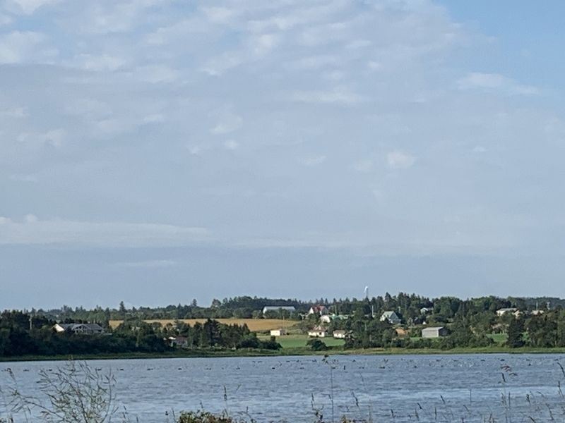
Havre Saint Pierre Marker
GEOGRAPHIC SORT Title Sort Marker Number Sort Marker Number Sort N Marker Number Sort T Publication Order Sort Publication Order Sort A Erected Year Sort Most Viewed Sort Most Recent-Interest Sort Most Recently Changed Sort SEE FAQ #33 FOR DESCRIPTIONS
Near Prince Edward Island Route 313.
Near Prince Edward Island Route 313.
Near Anderson Road (Prince Edward Island Route 225) just east of Somerset Street (Prince Edward Island Route 109), on the right when traveling east.
Near Anderson Road (Prince Edward Island Route 225) just east of Somerset Street (Prince Edward Island Route 109), on the right when traveling east.
Near Anderson Road (Prince Edward Island Route 225) just east of Somerset Street (Prince Edward Island Route 109), on the right when traveling east.
Near Anderson Road (Prince Edward Island Route 225) just east of Somerset Street (Prince Edward Island Route 109), on the right when traveling east.
Near Lady Slipper Drive North (Prince Edward Island Route 12) 0.1 kilometers north of Main Drive East (Veteran's Memorial Highway) (Prince Edward Island Route 2), on the right when traveling north.
Near Main Drive East (Veteran's Memorial Highway) (Prince Edward Island Route 2) 0.2 kilometers east of Lady Slipper Drive North (Prince Edward Island Route 12), on the left when traveling east.
On Lady Slipper Drive North (Prince Edward Island Route 12) just north of Main Drive East (Veteran's Memorial Highway) (Prince Edward Island Route 2), on the right when traveling north.
Near Main Drive East (Veteran's Memorial Highway) (Prince Edward Island Route 2) 0.2 kilometers east of Lady Slipper Drive North (Prince Edward Island Route 12), on the left when traveling east.
On Main Drive East (Veteran's Memorial Highway) (Prince Edward Island Route 2) just east of Lady Slipper Drive North (Prince Edward Island Route 12), on the left when traveling east.
On Western Road, 0.1 kilometers north of Macisaac Road (Prince Edward Island Route 127), on the right when traveling north.
Near Point Prim Road (Prince Edward Island Route 209) 11 kilometers west of Trans-Canada Highway (National Route 1).
Near Gulf Shore Parkway West.
Near Gulf View Parkway West.
Paid Advertisement
On Grafton Street at Water Street (Prince Edward Island Route 1), on the right when traveling east on Grafton Street.
On Veterans Memorial Highway (St. Peters Road) (Prince Edward Island Route 2) just south of Oakland Drive, on the left when traveling south.
On Grafton Street at Water Street (Prince Edward Island Route 1), on the right when traveling east on Grafton Street.
On Kent Street near Queen Street, on the left when traveling east.
On Great George Street, in the median.
On Queen Street, on the right when traveling south.
On Water Street (Prince Edward Island Route 1) at Grafton Street, on the left when traveling north on Water Street.
On Water Street (Prince Edward Island Route 1) at Grafton Street, on the left when traveling north on Water Street.
Near Hache Gallant Drive, 1.2 kilometers east of Prince Edward Island Route 19, on the left when traveling east.
Near Hache Gallant Drive, 1.2 kilometers east of Prince Edward Island Route 19, on the left when traveling east.
Near Hache Gallant Drive, 1.5 kilometers east of Prince Edward Island Route 19.
Near Hache Gallant Drive, 1.2 kilometers east of Prince Edward Island Route 19, on the left when traveling east.
Near Hache Gallant Drive, 1.2 kilometers east of Prince Edward Island Route 19, on the left when traveling east.
Near Hache Gallant Drive, 1.2 kilometers east of Prince Edward Island Route 19, on the left when traveling east.
Near Hache Gallant Drive, 1.2 kilometers east of Prince Edward Island Route 19, on the left when traveling east.
Near Haché Gallant Drive, 1.2 kilometers east of Prince Edward Island Route 19, on the left when traveling east.
Paid Advertisement
Near Hache Gallant Drive, 1.2 kilometers east of Prince Edward Island Route 19, on the left when traveling east.
Near Haché Gallant Drive, 1.2 kilometers east of Prince Edward Island Route 19, on the left when traveling east.
Near Hache Gallant Drive, 1.2 kilometers east of Prince Edward Island Route 19, on the left when traveling east.
