The first scholarly archaeological study of a Mandan earthlodge village village site was made in 1905 by Harvard University students George Will and Herbert Spinden. They excavated portions of six midden mounds, two houses, six cache pits, and the . . . — — Map (db m154677) HM
Fortification systems attest to the fierce warfare between villagers and surrounding nomadic tribes that is reported in early historic records. Ditch 2 that you seen in front of you at Double Ditch appears to have combined mounds and the ditch, with . . . — — Map (db m154250) HM
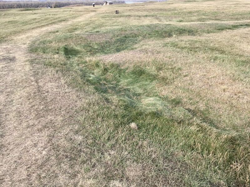
Ditch 3 is more recent than Ditch 4 and was constructed in the AD 1500s. Ditch 3, with only a few bastions, encompasses 15 acres and, like Ditch 4, is not visible on the surface. It reflects a fallback to a slightly smaller community and simpler . . . — — Map (db m154708) HM
Geophysics applies the methods of physics to remotely investigate and define objects or materials
in the earth's subsurface without direct contact. Geophysical investigations do not disturb the
soil and cultural features, as do traditional . . . — — Map (db m164367) HM
The raised areas you see around the village are midden mounds or earthen mounds ranging from one to ten feet high. There are more than 30 mounds surrounding the village. The Mandans at Double Ditch disposed of their trash in heaps such as the one in . . . — — Map (db m154930) HM
Pó is the root for fish in the Mandan language-pótande is the catfish. The Missouri River system, along with its larger
tributaries such as the Heart River, supported fisheries that the Mandans drew upon as part of their subsistence . . . — — Map (db m164371) HM
Geophysical surveys and follow-up excavations have revealed that the village had four ditch fortification systems constructed over a period of 300 years. The fourth, or outermost, ditch had several well-defined bastions and was probably the oldest. . . . — — Map (db m154920) HM
The fortification ditch and house depressions, as well as the site's location away from the Missouri River, immediately caught the attention of archeologists when the site was rediscovered in 1936. At that time, many people believed it was the . . . — — Map (db m154401) HM
This house was built in an oval-shaped pit about two feet deep and measured 16 by 23 feet in size. Before it was excavated in the late 1990s, remote sensing studies were conducted. Precise surface elevations were recorded and about 3,500 individual . . . — — Map (db m154406) HM
has been designated a
Registered National Historic Landmark
under the provisions of the Historic Sites Act of August 21, 1955. This site possesses exceptional value in commemorating and illustrating the history of the . . . — — Map (db m153165) HM
Menoken Village was a small community consisting of approximately 30 oval-shaped, earth-covered houses and a prominent fortification system. Once thought to have been a Mandan Village occupied at the time of early contact with Euroamericans, Menoken . . . — — Map (db m154254) HM
Menoken Village is a terminal Late Woodland (ca. AD 1200) settlement on Apple Creek, an eastern tributary of the Missouri River. Menoken is listed in the National Register of Historic Places. The site is also a registered National Historic Landmark . . . — — Map (db m154628) HM
Recovered stone, metal, and shell artifacts show that the people were involved in trade systems that spanned the continent. It is not clear how these systems worked. Residents at Menoken probably did not travel far beyond what is now central North . . . — — Map (db m154403) HM
In 1989, inspection of the Lake Ilo dam found that critical maintenance was needed. A notch cut into the spillway lowered the water about 7 feet so the work could be completed. The exposed lake bed revealed remarkable discoveries and mysteries of . . . — — Map (db m153143) HM
The river that nurtured Awatixa Village is erasing evidence of its existence. In 1798, explorer-trader David Thompson estimated fifty-two earthlodges here. As of 1990, only thirty-one earthlodge depressions remained. Cutbank erosion and channel . . . — — Map (db m162270) HM
Circles in the Earth
You are at the edge of a large village of earthlodges. When the dwellings collapsed, they left circular mounds of earth around hardened saucer-like floors. From that pattern you can picture the extent of this village . . . — — Map (db m162212) HM
Anatomy of a Village
Viewed at prairie level, the village site shows few details of the Hidatsa people's lives. Most evidence lies below the surface. Here along the bank, repeated floods have exposed a slice of village life and given it . . . — — Map (db m162272) HM
From archeological evidence, we know how the Hidatsa fished. The villagers used bone fishhooks at first, but metal hooks began to appear after the 1790s - a result of trade with Europeans. From catfish spines and fish scales found in middens, we . . . — — Map (db m162273) HM
Geophysics is the application of the methods of physics to the study of object or materials beneath the surface of the earth. Archeo-geophysics applies geophysical principles to the study of near-surface archaeological deposits. The goal is to . . . — — Map (db m162461) HM
Fortified Ground
A thriving earthlodge village stood here. Though surface clues appear minimal, there is a pattern to the ground's subtle dips and wrinkles, a way to reconstruct the life and death of the village. Read the terrain like . . . — — Map (db m162274) HM
To imagine these people's daily lives, consider their trash. Molehill-like mounds two to four feet high near the village edge are middens or garbage heaps packed with broken pottery, bone tools, and flaked stone. Shattered buffalo bones are the most . . . — — Map (db m162214) HM
Built so close to the river, Awatixa Village and other nearby sites suggest a pattern - a vital link between Hidatsa culture and the riverine environment. The Missouri River and its tributaries provided fish, fertile soil for crops, and a green . . . — — Map (db m162271) HM
In the summer of 1837, the steamboat St. Peters arrived at the Mandan village and Fort Clark, carrying passengers, supplies, and trade goods. Tragically, some of the people on the St. Peters were also infected with smallpox. In a . . . — — Map (db m162532) HM
Winter villages of the Mandans and the neighboring Hidatsas were located in the forested river bottoms of the Missouri River and Knife River valleys. These temporary village locations were chosen based on availability, suitable protection form harsh . . . — — Map (db m162473) HM
Archaeological excavations have occurred at Huff village in 1938-1939, 1959, 1960, and 1999. In all but the most recent work, focus has been on uncovering houses at Huff Village and understanding details of prehistoric architecture. The floors of l1 . . . — — Map (db m164393) HM
Only recently have we been able to accurately determine the age of Huff Village. Archeological deposits and the settlement layout suggests that the village was probably inhabited for only 20 years or so. Fourteen radiocarbon dates and several . . . — — Map (db m154336) HM
Huff Indian Village State Historic Site is a classic prehistoric Mandan settlement dating to about AD 1450, perhaps two hundred years before Euroamerican influence reached the Missouri Valley area. The village is a very large, well-planned community . . . — — Map (db m154135) HM
In front of you is part of the fortification system that once surrounded this village. The fortification system at Huff Village is a classic example of civil defense and community preparation for conflict. Inter-village conflict may have been . . . — — Map (db m154306) HM
An Ancient Sea Eastern North Dakota was covered by the
Western Interior Seaway between sixty
and ninety million years ago. This warm
subtropical sea was less than 500 feet
deep and stretched from the Arctic
Ocean to the Gulf of . . . — — Map (db m183997) HM
Writing Rock
Just over the ridge to the west, a rock
bears some very unusual markings.
These script-like engravings are the topic
of much speculation and debate.
Geologists believe that running water
etched the stone, or that ancient . . . — — Map (db m177126) HM