By Joel Seewald, April 18, 2017
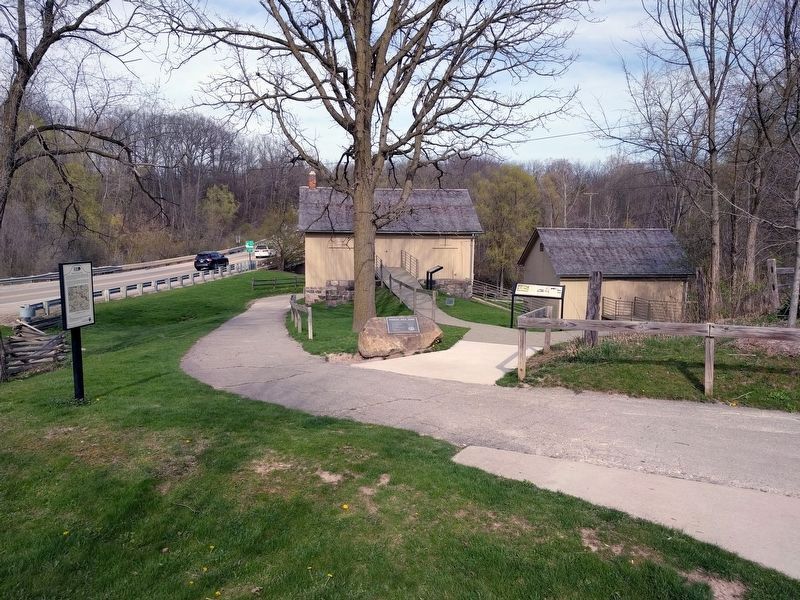
Native American Trails Marker
RANKED BY RELEVANCE
| On Geddes Road 0.2 miles east of North Dixboro Road, on the right when traveling east. |
| On Sharon Hollow Road, on the right when traveling north. |
| On North River Street at East Cross Street, on the right when traveling north on North River Street. |
| On East Huron Street at Main Street, on the left when traveling east on East Huron Street. |
| On North Union Street 0.3 miles north of Railroad Street, on the right when traveling west. |
| On Maiden Lane at Freesia Court, on the right when traveling east on Maiden Lane. |
| On East First Street at Washington Street on East First Street. |
| On Geddes Road 0.1 miles west of Sheldon Road, on the right when traveling west. |
| Near Ann Arbor Street (State Highway 52), on the right when traveling west. |
| On Geddes Road 0.2 miles east of North Dixboro Road, on the right when traveling east. |
| Near Wall Street near Canal Street, on the right when traveling west. |
| On Webster Church Rd at Farrell Road, on the right when traveling north on Webster Church Rd. |
| On Mooreville Road 0.5 miles west of Platt Road, on the right when traveling west. |
| On Old Dixboro Road 0.1 miles south of South Dixboro Road, on the right when traveling south. |
| On Ann Arbor Street (State Highway 52) at East Main Street, on the left when traveling north on Ann Arbor Street. |
| On North Division Street at Catherine Street, on the right when traveling north on North Division Street. |
| On Grand Street at Broad Street, on the left when traveling west on Grand Street. |
| On East Main Street north of Adrian Street, on the left when traveling south. |
| On Dickerson Street north of South Street, on the left when traveling south. |
| On North Ann Arbor Street, on the right when traveling north. |
| Near Ramirez Street at Padre Street. |
| On North River Street at East Clark Road, on the left when traveling south on North River Street. |
| Near Waterloo-Pinckney Hiking Trail 0.2 miles north of North Territorial Road. |
| On North Delhi Road south of West Huron River Drive, on the right when traveling south. |
| Near Terhune Road at Lillian Road, on the right when traveling east. |
| On Maiden Lane at Freesia Court, on the right when traveling east on Maiden Lane. |
| Near Marsh Road 0.3 miles north of Central Park Drive, on the left when traveling north. |
| On South Center Street east of South Clinton Street (Michigan Highway 106), on the left when traveling north. |
| On Observatory Street at Geddes Avenue, on the right when traveling north on Observatory Street. |
| Near Waterloo-Pinckney Hiking Trail 0.2 miles north of North Territorial Road. |
| On North Washington Street at Railroad Street, on the right when traveling north on North Washington Street. |
| On East Main Street at Adrian Street, on the left when traveling east on East Main Street. |
| On Ann Arbor Street (State Highway 52) at East Main Street, on the right when traveling south on Ann Arbor Street. |
| On West Main Street at North Washington Street, on the right when traveling west on West Main Street. |
| Near East Michigan Avenue west of Andover Boulevard. |
Thin black lines indicate changes in relevance. Between each pair of lines entries are ordered geographically but all have the same relevance.* Inflectional forms of words are their plurals, singulars, and possessives as well as gramatical tenses and similar variations.
Nov. 13, 2026
