By Devry Becker Jones (CC0), May 24, 2019
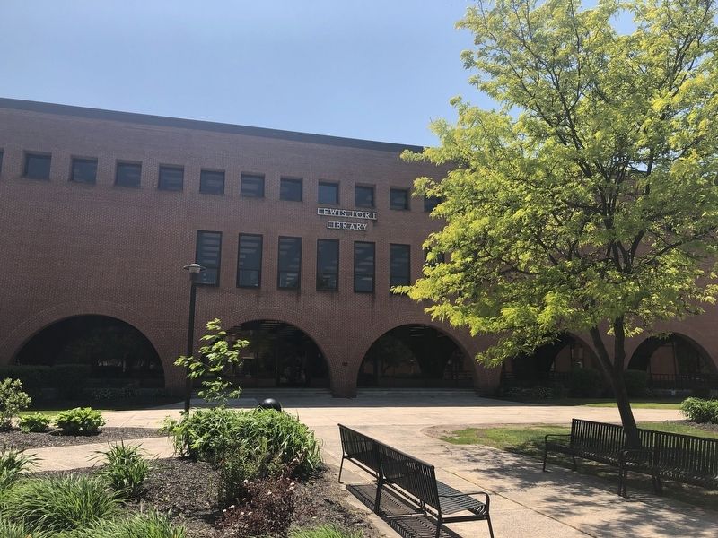
The Lewis J. Ort Library
| Near University Drive north of Stadium Road, on the right when traveling north. |
| Near East College Avenue east of Maple Street, on the right when traveling east. |
| On National Highway (U.S. 40) at Maryland Route 36, on the right when traveling east on National Highway. |
| Near Center Street east of East College Avenue, on the left when traveling north. |
| Near East College Avenue at Wood Street, on the right when traveling east. |
| On East College Avenue at Wood Street, on the right when traveling east on East College Avenue. |
| Near Park Avenue at Center Street, on the left when traveling north. |
| On University Drive south of Planetarium Drive, on the right when traveling south. |
| On Braddock Street (Maryland Route 736) west of Park Avenue, on the right when traveling west. |
| Near Environmental Drive north of Planetarium Drive, on the right when traveling north. |
| Near Center Street south of Oak Street, on the left when traveling north. |
| On East College Avenue at South Broadway, on the left when traveling west on East College Avenue. |
| On 1st Street close to Uhl Street, on the right when traveling west. |
| Near Depot Street near New Hope Road. |
| On West Main Street (Alternate U.S. 40) north of South Water Street, on the right when traveling south. |
| Near Depot Street near New Hope Road. |
| On Eckhart School Drive south of National Highway (Alternate U.S. 40), on the right when traveling south. |
| On East Main Street (Alternate U.S. 40) at Jenkins Street, on the left when traveling west on East Main Street. |
| On East Main Street (Alternate U.S. 40) at Jenkins Street, on the left when traveling west on East Main Street. |
| On Sandspring Drive west of University Drive, on the left when traveling west. |
| On East College Avenue at South Broadway, on the left when traveling north on East College Avenue. |
| On East Main Street (Alternate U.S. 40) at Jenkins Street, on the right when traveling west on East Main Street. |
| On Clarysville Road SW at Vale Summit Road (Maryland Route 55), on the right when traveling south on Clarysville Road SW. |
| Near Old Town Road (State Highway 51), on the right when traveling east. |
| On National Highway (Alternate U.S. 40) 0.4 miles west of Winchester Road (Maryland Route 53), on the left when traveling west. |
| On Vocke Road (Maryland Route 53(658)) south of Exit 40 (Interstate 68). |
| Near Cash Valley Road south of Stoney Creek Drive, on the right when traveling south. |
| On National Highway SW (U.S. 40), on the left when traveling west. |
| Near National Highway SW (U.S. 40), on the left when traveling west. Reported permanently removed. |
| On National Highway (Alternate U.S. 40) 0.4 miles west of Winchester Road (Maryland Route 53), on the left when traveling west. |
| On National Highway (Alternate U.S. 40) west of Mary Court, on the left when traveling west. |
| On National Highway (Alternate U.S. 40) at Klosterman Avenue, on the right when traveling west on National Highway. |
| Near Braddock Road (Maryland Route 49) at Gemma Drive, on the left when traveling east. |
| Near Braddock Road (Maryland Route 49) at Gemma Drive, on the left when traveling east. |
| On National Pike (U.S. 40), on the left when traveling west. Reported permanently removed. |
| On National Pike Northeast (Scenic U.S. 40) at Tower Road, on the right when traveling east on National Pike Northeast. |
| On Main Street (Maryland Route 36) at Union Street, on the right when traveling north on Main Street. |
| On Main Street (Maryland Route 36) at Union Street, on the right when traveling north on Main Street. |
| On Recreation Area Road Southwest, 0.6 miles south of Water Station Run Road, on the right when traveling south. |
| On East Main Street (Maryland Route 36) just north of Dutch Row, on the left when traveling north. |
| On East Main Street (Maryland Route 36) at Bridge Street, on the right when traveling south on East Main Street. |
| On East Main Street (Maryland Route 36) at Bridge Street, on the right when traveling south on East Main Street. |
| On Main Street (Maryland Route 36) just south of Pershing Street, on the right when traveling south. |
| On East Main Street (Maryland Route 36) at Pershing Street, on the left when traveling north on East Main Street. |
| On West Main Street (Maryland Route 36) just south of Pershing Street, on the right when traveling south. |
| On East Main Street (Maryland Route 36) just north of Pershing Street, on the left when traveling north. |
| On Main Street (Maryland Route 36) at Union Street, on the right when traveling north on Main Street. |
| On Main Street (Route 36) at Union Street, on the right when traveling north on Main Street. |
| On East Main Street (Maryland Route 36) at Bridge Street, on the right when traveling south on East Main Street. |
| On Main Street (Maryland Route 36) at Union Street, on the right when traveling north on Main Street. |
| On East Main Street (Maryland Route 36) just south of Bridge Street, on the right when traveling south. |
| On East Main Street (Maryland Route 36) just north of Pershing Street, on the left when traveling north. |
| On Main Street (Maryland Route 36) at Union Street, on the right when traveling north on Main Street. |
| On Pratt Street (Maryland Route 135) north of Grant Street, on the left when traveling north. |
| On Westernport Road (Maryland Route 135) east of Dayton Hill Lane, on the left when traveling east. |
| On Broadway Street just north of New Georges Creek Road Southwest (Maryland Route 36), on the right when traveling north. |
| Near Trimble Road Northwest, 0.6 miles east of Slabtown Road Northwest, on the right when traveling east. |
| On Trimble Road Northwest, 0.6 miles east of Slabtown Road Northwest, on the left when traveling east. |
| On Lower Bank Street north of Upper Bank Street, on the left when traveling east. |
| On Mount Savage Road, on the right when traveling east. Reported missing. |
| On Mount Savage Road NW (Maryland Route 36) east of Iron Rail Street, on the right when traveling east. |
| On Mount Savage Road NW (Maryland Route 36) east of Iron Rail Street, on the right when traveling east. |
| Near Mount Savage Road (Maryland Route 36) at New Row Road. |
| Near Mile Lane Northwest at Glen Savage Farm Road, on the left when traveling east. |
| Near St Patrick's Church Road east of New Row Road NW, on the right when traveling east. |
| On Mile Lane Northwest at Glen Savage Farm Road, on the left when traveling east on Mile Lane Northwest. |
| Near St. Patrick's Church Road east of New Row Road NW, on the right when traveling east. |
| On Geary Lane north of Jealous Row, on the right when traveling north. |
| On Lower Bank Street south of Iron Rail Street, on the right when traveling east. |
| On National Highway (U.S. 40) west of Mt. Savage Road NW (Maryland Route 36), on the right when traveling east. |
| Near River Road SE, 1.1 miles south of Pittsburgh Plate Glass Road SE, on the left when traveling west. |
| Near River Road SE, 1.1 miles south of Pittsburgh Plate Glass Road SE, on the left when traveling west. |
| On Williams Road Southeast at Brice Hollow Road, on the right when traveling east on Williams Road Southeast. |
| On Oldtown Cemetery Road at Opessa Street, on the right when traveling south on Oldtown Cemetery Road. |
| On Green Spring Road just north of C&O Canal Towpath, on the right when traveling south. |
| On Old Braddock Trail south of Opessa Street, on the left when traveling west. |
| On Oldtown Cemetery Road at Opessa Street, on the right when traveling south on Oldtown Cemetery Road. |
| On Opessa Street at Green Spring Road, on the left when traveling east on Opessa Street. |
| On Oldtown Road (Maryland Route 51) at Opessa Street, on the right when traveling east on Oldtown Road. |
| On Green Spring Rd SE, 0.1 miles south of Opessa St. |
| On Chesapeake & Ohio Canal Towpath (at milepost 172), 2.5 miles east of Kirk Hollow Road, on the right when traveling east. |
| On Oldtown Rd SE, 0.2 miles east of Opessa Street, on the right when traveling east. |
| Near Wheeler Road Southeast. |
| On Philos Avenue at Clay Street, on the left when traveling east on Philos Avenue. |
| On Main Street (Maryland Route 937) north of Ross Street, on the left when traveling north. |
| On New Georges Creek Road Southwest (Route 36) just north of Creek Side Drive Southwest, on the left when traveling north. |
| On Washington Street east of Victory Post Road (Maryland Route 36), on the left when traveling east. |
| On Main Street (Maryland Route 937) near Ross Street, on the right when traveling south. |
| On New Georges Creek Road (Maryland Route 36) north of Creek Side Drive SW (Maryland Route 937), on the left when traveling north. |
| Near Halfway Boulevard at Oak Valley Drive, on the left when traveling north. |
| Near Halfway Boulevard at Oak Valley Drive, on the left when traveling north. |
| Near Halfway Boulevard at Oak Valley Drive, on the left when traveling north. |
| Near Halfway Boulevard at Oak Valley Drive, on the left when traveling north. |
| On Maryland Avenue north of State Circle, on the right when traveling north. |
| On Maryland Avenue north of State Circle, on the right when traveling north. |
7469 entries matched your criteria. Entries 201 through 300 are listed above.
⊲ Previous 100 —
Next 100 ⊳