By Michael Herrick, August 19, 2018
Alnwick Quarters Marker
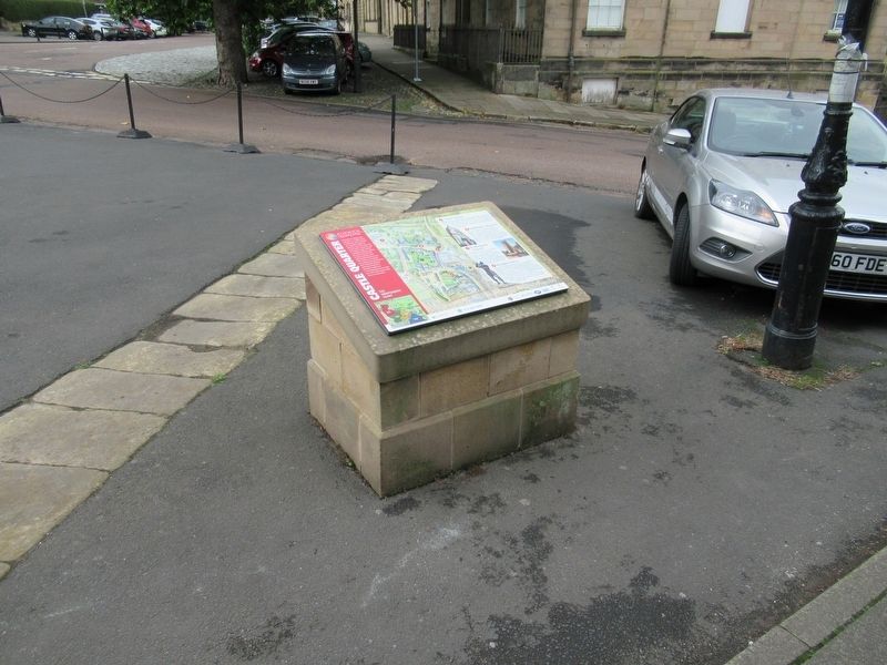
| On The Peth (England Route B6341) at Bailiffgate, on the left when traveling south on The Peth. |
| On Bondgate Within (Route B6346) at England Route B1340, on the left when traveling east on Bondgate Within. |
| Near The Peth (Route B6341) at Bailiffgate, on the left when traveling south. |
| On Market Street (England Route B6341) at Bondgate Within, on the right when traveling east on Market Street. |
| On Pottergate at Narrowgate, on the right when traveling east on Pottergate. |
| Near The Peth (England Route B6341) at Bailiffgate, on the left when traveling south. |
| Near Links Road at Front Street, on the right when traveling north. |
| Near Links Road at Front Street, on the right when traveling north. |
| Near Links Road at Front Street, on the right when traveling north. |
| Near Links Road at Front Street, on the right when traveling north. |
| Near Links Road at Front Street, on the right when traveling north. |
| Near Links Road at Front Street, on the right when traveling north. |
| Near Links Road at Front Street, on the right when traveling north. |
| Near Links Road at Front Street, on the right when traveling north. |
| Near Links Road at Front Street, on the right when traveling north. |
| Near Links Road at Front Street, on the right when traveling north. |
| Near Links Road at Front Street, on the right when traveling north. |
| Near Links Road at Front Street, on the right when traveling north. |
| Near Links Road at Front Street, on the right when traveling north. |
| On Middle Street at Market Place, on the right when traveling north on Middle Street. |
| Near Corchester Lane, 0.8 kilometers west of Stagshaw Road, on the left when traveling west. |
| On St Helen's Street at Watling Street, on the left when traveling east on St Helen's Street. |
| On Middle Street at Market Place, on the right when traveling north on Middle Street. |
| Near Corchester Lane, 0.8 kilometers west of Stagshaw Road, on the left when traveling west. |
| Near Corchester Lane, 0.8 kilometers west of Stagshaw Road, on the left when traveling west. |
| Near Corchester Lane, 0.8 kilometers west of Stagshaw Road, on the left when traveling west. |
| Near Corchester Lane, 0.8 kilometers west of Stagshaw Road, on the left when traveling west. |
| On Hill Street at Princes Street, on the left when traveling east on Hill Street. |
| On Corchester Lane, 0.8 kilometers west of Stagshaw Road, on the left when traveling west. |
| On Watling Street at Hill Street, on the left when traveling south on Watling Street. |
| Near Corchester Lane, 0.8 kilometers west of Stagshaw Road, on the left when traveling west. |
| Near Middle Street close to Market Place, on the right when traveling north. |
| Near Corchester Lane at Stagshaw Road, on the left when traveling west. |
| Near Corchester Lane, 0.8 kilometers west of Stagshaw Road, on the left when traveling west. |
| Near Corchester Lane, 0.8 kilometers west of Stagshaw Road, on the left when traveling west. |
| On Middle Street at Market Place, on the right when traveling north on Middle Street. |
| On roas 68 at Crawford Cres, on the right when traveling north on roas 68. |
| Near England Route B6319, 2.9 kilometers west of North Road, on the right when traveling west. |
| Near England Route B6319, 4.7 kilometers west of North Road, on the right when traveling west. |
| Near road 68, 4 kilometers north of England Route A69, on the left when traveling north. |
| On England Route B6295 at an unnamed road to Rockhope, on the right when traveling north on State Route B6295. |
| Near Route B6319, 4.7 kilometers west of North Road, on the right when traveling west. |
| Near road 68, 4 kilometers north of England Route A69, on the left when traveling north. |
| Near road 68, 4 kilometers England Route A69, on the left when traveling north. |
| On Stanegate, 5.2 kilometers west of North Road, on the right when traveling west. |
| Near road 68, 4 kilometers north of Route A69, on the left when traveling north. |
| Near Route B6319, 2.9 kilometers Route A69, on the right when traveling west. |
| Near road 68, 4 kilometers north of Route A69, on the left when traveling north. |
| Near road 68, 4 kilometers north of England Route A69, on the left when traveling north. |
| Near road 68, 4 kilometers north of Route A69, on the left when traveling north. |
| Near road 68, 4 kilometers north of Route A69, on the left when traveling north. |
| Near England Route B6319, 4.7 kilometers west of North Road, on the right when traveling west. |
| Near England Route B6319, 4.7 kilometers west of North Road, on the right when traveling west. |
| Near Route B6319, 2.9 kilometers west of North Road, on the right when traveling west. |
| Near road 68, 2.5 kilometers north of England Route A69, on the left when traveling north. |
| Near England Route B6319, 2.9 kilometers west of North Road, on the right when traveling west. |
| Near road 68, 4 kilometers north of England Route A69, on the left when traveling north. |
| Near Route B6319, 4.7 kilometers west of North Road, on the right when traveling west. |
| Near road 68, 4 kilometers north of Route A69, on the left when traveling north. |
| Near B6319, 4.7 kilometers west of North Road, on the right when traveling west. |
| Near road 68, 4 kilometers north of England Route A69, on the left when traveling north. |
| Near England Route B6319, 2.9 kilometers west of North Road, on the right when traveling west. |
| Near road 68, 4 kilometers north of Route A69, on the left when traveling north. |
| Near England Route B6319, 2.9 kilometers west of North Road, on the right when traveling west. |
| Near road 68, 4 kilometers north of Route A69, on the left when traveling north. |
| Near Castle Street at Wellfield, on the left when traveling north. |
| Near Castle Street at Wellfield, on the left when traveling north. |
| On Front Street at Church Street, on the left when traveling west on Front Street. |
| On Front Street at Church Street, on the right on Front Street. |
| On Grange Road at Percy Road, on the right when traveling west on Grange Road. |