By Craig Doda, April 20, 2022
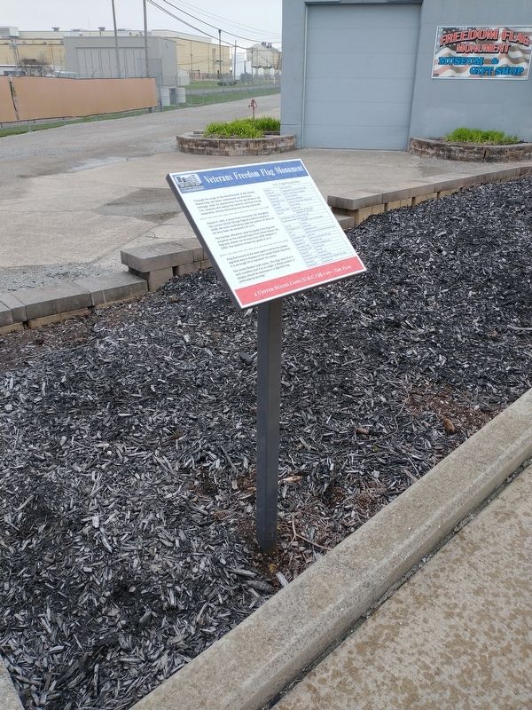
Veterans Freedom Flag Monument
| On Buckeye Road east of Ft. Amanda Road, on the right when traveling east. |
| On Buckeye Road east of Ft. Amanda Road, on the right when traveling east. |
| On Buckeye Road east of Ft. Amanda Road, on the right when traveling east. |
| On Buckeye Road east of Ft. Amanda Road, on the right when traveling east. |
| On Lincoln Highway (U.S. 30), on the right when traveling west. |
| On Lincoln Highway, 0.5 miles west of Gomer Road, on the left when traveling west. |
| On Lincoln Highway, 0.5 miles east of Gomer Road, on the left when traveling east. |
| On Gomer Road, 0.1 miles south of Lincoln Highway, on the left when traveling south. |
| On Sandy Point Road, 0.3 miles north of Lincoln Highway, on the right when traveling north. |
| On North Main Street at East 2nd Street, on the right when traveling north on North Main Street. |
| Near 2nd Street at Main Street, on the left when traveling west. |
| On N. Main Street at E 3rd Street, on the right when traveling north on N. Main Street. |
| On North Main Street at East 3rd Street, on the right when traveling north on North Main Street. |
| On Napoleon Road, 0.2 miles north of West 1st Street, on the right when traveling south. |
| On North Wanut Street at West 2nd Street, on the right when traveling north on North Wanut Street. |
| On Main Street, on the left when traveling south. |
| On East 3rd Street east of North Main Street, on the left when traveling east. |
| On East 2nd Street east of North Main Street, on the right when traveling east. |
| On East 2nd Street east of N Main Street, on the left when traveling east. |
| On East 2nd Street east of North Main Street, on the right when traveling east. |
| On East 2nd Street east of North Main Street, on the right when traveling east. |
| On North Main Street at East 3rd Street, on the right when traveling north on North Main Street. |
| On North Main Street at East Third Street, on the right when traveling north on North Main Street. |
| On 2nd Street at Main Street, on the left when traveling west on 2nd Street. |
| On South Defiance Trail, 0.5 miles north of Spencerville Road (Route 117), on the right when traveling north. |
| On Defiance Trail North, on the left when traveling north. |
| On Defiance Trail North north of Allentown Road (Ohio Route 81), on the left when traveling north. |
| On Defiance Trail North north of Allentown Road (Ohio Route 81), on the left when traveling north. |
| On High Street at Main Street, in the median on High Street. |
| On Lafayette Road, 0.1 miles north of Ada Road (Ohio Route 81), on the right when traveling north. |
| On North McClure Road, 1 mile south of Ohio Route 81, on the left when traveling south. |
| On North High Street north of East Main Street, in the median. |
| On South Cole Street, 0.1 miles south of Lakewood Avenue, on the right when traveling north. |
| On North Central Avenue at East Wayne Street, on the right when traveling north on North Central Avenue. |
| On North Main Street just north of West North Street (Ohio Route 81/309), on the left when traveling north. |
| On Spencerville Road just east of South Woodlawn Avenue (Ohio Route 117), on the right when traveling east. |
| On Main Street, on the left when traveling north. |
| On Main Street at North Street (Ohio Route 81), on the right when traveling south on Main Street. |
| On Bluelick Road, 0.2 miles east of North Main Street (Ohio Route 65), on the right when traveling west. |
| On East Market Street at South Main Street, on the left when traveling east on East Market Street. |
| On North Main Street at West Sugar Alley, on the left when traveling south on North Main Street. |
| On South Main Street at Circular Street, on the right when traveling north on South Main Street. |
| Near South Shawnee Street. |
| On Eastown Road, on the left when traveling north. |
| On North Dixie Highway, 0.7 miles north of Ada Road (Route 81), on the right when traveling north. |
| On North Street, on the left when traveling east. |
| On North Main Street at High Street, on the left when traveling north on North Main Street. |
| On Ottawa Road (Ohio Route 65) at North West Street (Ohio Route 115), in the median on Ottawa Road. |
| On Central Avenue (Ohio Route 309) at High Street, on the right when traveling north on Central Avenue. |
| On Shawnee Road, on the left when traveling north. |
| On Market Street/Bellefontaine Avenue at the Ottawa River, on the left when traveling east on Market Street/Bellefontaine Avenue. |
| On Main Street, on the right when traveling south. |
| On North West Street (Ohio Route 68) at West Chapman Road, on the right when traveling south on North West Street. |
| On Elm Street, on the left when traveling east. |
| On North Dixie Highway, 0.7 miles north of Ada Road (Ohio Route 81), on the right when traveling north. |
| On Reservoir Road, 0.3 miles east of Metzger Road, on the right when traveling east. |
| On North Elizabeth Street, on the right when traveling north on North Elizabeth Street. |
| Near Findlay Road (Ohio Route 81) 0.1 miles south of North McCullough Street, on the right when traveling east. |
| On Central Avenue, in the median. |
| On Shawnee Road, 0.1 miles north of Zimmehly Road, on the right when traveling north. |
| Near Shawnee Road. Reported missing. |
| On Central Avenue, on the right when traveling north. |
| On Metcalf Street at Paul Street, on the right when traveling south on Metcalf Street. |
| On Deep Cut Road (County Road 206) west of Sunderland Road, on the right when traveling west. Reported damaged. |
| On Park Drive north of Spencerville Road, on the right when traveling north. |
| On Bluelick Road, 0.1 miles west of Sugar Street, on the right when traveling west. |
| On Thayer Road at Mirror Lake Drive, on the left when traveling north on Thayer Road. |
| On East Market Street at Town Square, on the right when traveling east on East Market Street. |
| On Market Street, on the left when traveling east. |
| On West Market Street west of North Metcalf Street, on the right when traveling west. |
| On North Street (Ohio Route 81) at Main Street, on the right when traveling west on North Street. |
| On Park Drive east of South Woodlawn Avenue (Ohio Route 117), on the right when traveling east. |
| On West Kibby Street at South Metcalf Street, on the right when traveling west on West Kibby Street. |
| On South Woodlawn Avenue (Ohio Route 117) at Park Drive, on the right when traveling north on South Woodlawn Avenue. |
| On Buckeye Road, 0.5 miles west of South Dixie Highway, on the left when traveling west. |
| On Woodlawn Avenue at West Market Street, in the median on Woodlawn Avenue. |
| On West Market Street, on the right when traveling west. |
| On South Shore Drive east of Heindel Avenue, on the right when traveling east. |
| On Saint Matthews Drive, on the left when traveling north. |
| Near Spencerville Road just east of South Woodlawn Avenue (Ohio Route 117), on the right when traveling east. |
| On Rockport Road just east of Port Street, on the right when traveling east. |
| On Rockport Road, on the left when traveling west. |
| On Rock Street north of Rockport Road, on the left when traveling north. |
| Near North Main Street (Ohio Route 117) at West 6th Street, on the right when traveling north. |
| On N. Main Street (Ohio Route 117) at W. 6th Street, on the right when traveling north on N. Main Street. |
| On South Broadway Street (Ohio Route 66) north of West 2nd Street, on the right when traveling south. |
| On North Main Street (Ohio Route 117) at West 6th Street, on the right when traveling north on North Main Street. |
| Near Ohio Route 198, 0.2 miles south of Deep Cut Road. |
| On Broadway Street (Ohio Route 66) at East 4th Street (Ohio Route 117), on the right when traveling south on Broadway Street. Reported missing. |
| On North Main Street (Ohio Route 117) at West 6th Street, on the right when traveling north on North Main Street. |
| On North Broadway Street at East 3rd Street, on the left when traveling south on North Broadway Street. |
| On North Main Street (Ohio Route 117) at West 6th Street, on the right when traveling north on North Main Street. |
| On South Canal Street at West 1st Street, on the left when traveling south on South Canal Street. |
| On Ohio Route 66, 0.2 miles north of Deep Cut Road, on the right when traveling south. |
| On South Saint Marys Road (Ohio Route 66) 0.1 miles Deep Cut Road (County Road 226), on the right when traveling south. |
| On S. Canal Street, on the right when traveling north. |
| On N. Main Street (Ohio Route 117) at W. 6th Street, on the right when traveling north on N. Main Street. |
| On Fort Amanda Road at Sunderland Road, on the right when traveling west on Fort Amanda Road. |
9300 entries matched your criteria. Entries 101 through 200 are listed above.
⊲ Previous 100 —
Next 100 ⊳