By Mark Hilton, April 7, 2017
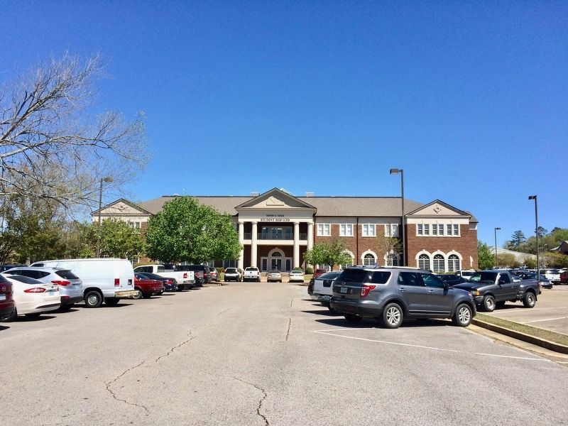
The David C. Cole Student Services building near the marker.
| On West Main Street (Mississippi Route 178) at South Spring Street, on the right when traveling west on West Main Street. |
| On Fawn Grove Church Road west of Fawn Grove Road, on the right when traveling west. |
| On State Highway 23 close to Patton Flat Oakland Road. |
| On De La Pointe Drive, 0.1 miles south of U.S. 90, on the right when traveling south. |
| On Government Street, on the left when traveling west. |
| On County Highway 20, 0.2 miles west of State Highway 15, on the left when traveling west. |
| On U.S. 61, 1 mile south of Stampley Road, on the left when traveling south. |
| On U.S. 61, 1 mile south of Stampley Road, on the left when traveling south. |
| On U.S. 61, 1 mile south of Stampley Road, on the left when traveling south. |
| On U.S. 61, 1 mile south of Stampley Road, on the left when traveling north. |
| On Muddy Bayou Road north of Rodney Road, on the right when traveling north. |
| On East St Stephens Road, 0.1 miles east of J E Johnson Road, on the left when traveling east. |
| On Queensburg Avenue at Oak Park Boulevard, on the right when traveling north on Queensburg Avenue. |
| On County Road 115, 0.2 miles south of State Route 7, on the right when traveling south. |
| On North 14th Street north of Washington Avenue, on the right when traveling north. |
| On Courthouse Square at East Jackson Avenue, on the right when traveling north on Courthouse Square. |
| On North Lamar Boulevard at Jefferson Avenue on North Lamar Boulevard. |
| On University Avenue at South 5th Street, on the right when traveling east on University Avenue. |
| On Washington Avenue west of North 5th Street, on the left when traveling west. |
| On Old Taylor Road west of South 10th Street, on the right when traveling west. |
| Near Taylor Road south of University Avenue, on the left when traveling south. |
| On College Hill Road (County Road 102) at County Road 103, on the right when traveling south on College Hill Road. |
| On County Road 130 south of County Road 128, on the left when traveling south. |
| On Sorority Row at Student Union Drive on Sorority Row. |
| On Student Union Drive west of Sorority Row, on the right when traveling west. |
| Near Library Lane west of University Circle. |
| Near Chapel Lane north of Fraternity Row. |
| On Guyton Drive south of Dormitory Row West. |
| On Jeanette Phillips Drive at Hill Drive, on the right when traveling north on Jeanette Phillips Drive. |
| On Grove Loop at Alumni Drive, on the right when traveling west on Grove Loop. |
| On Dormitory Row West, 0.1 miles west of Dormitory Row North, on the right when traveling west. |
| On University Circle at University Avenue, on the left when traveling west on University Circle. |
| On Sorority Row north of Northgate Drive, on the right when traveling north. |
| On Sorority Row north of Grove Loop. |
| On University Circle at Library Lane, on the right when traveling south on University Circle. |
| On University Circle, 0.2 miles west of Grove Loop, on the right when traveling west. |
| Near Galtney-Lott Plaza west of University Circle. |
| On University Circle, 0.2 miles west of Grove Loop, on the right when traveling west. |
| On State Highway 39 south of Daleville Prismatic Road, on the right when traveling north. |
| On 9th Street west of Constitution Avenue, on the right when traveling west. |
| On Martin Luther King Jr. Drive at 16th Street, on the right when traveling north on Martin Luther King Jr. Drive. |
| On 13th Avenue at 14th Street, on the right when traveling north on 13th Avenue. |
| On Highland Avenue at 35th Street, on the right when traveling north on Highland Avenue. |
| On 37th Street west of Highland Avenue, on the right when traveling west. |
| On 18th Avenue north of 19th Street, on the right when traveling north. |
| On 15th Street at Martin Luther King Jr. Drive, on the left when traveling west on 15th Street. |
| On 15th Street west of 30th Avenue, on the left when traveling west. |
| On 14th Street at 25th Avenue, on the right when traveling west on 14th Street. |
| On East Broad Street at Caswell Street, on the right when traveling east on East Broad Street. |
| On North Green Street at Farrah Street, on the right when traveling north on North Green Street. |
| On North Madison Street at East Jackson Street, on the right when traveling north on North Madison Street. |
| On South Spring Street at Troy Street, on the right when traveling north on South Spring Street. |
| On East Monticello Street at Penn Street on East Monticello Street. |
| On Heucks Retreat Road near Callender Road NE, on the left when traveling west. |
| Near South Jackson Street near West Cherokee Street. |
| On South Jackson Street at West Cherokee Street, on the right when traveling south on South Jackson Street. |
| On East Lincoln Road SE, 1 mile west of Townsend Drive SE, on the right when traveling west. |
| On U.S. 84 at Harmony Drive SE, on the right when traveling east on U.S. 84. |
| On Forest Trail NE east of New Sight Drive NE, on the left when traveling east. |
| On Ruth Drive SE (State Highway 570/591) south of State Highway 583, on the right when traveling north. |
| On 11th Street South, on the right when traveling north. |
| On 3rd Avenue North near N. 5th Street (U.S. 45). |
| On Wicks Road, 0.8 miles south of Gilmer-Wilburn Road, on the right when traveling south. |
| On College Street east of South 14th Street, on the left when traveling east. |
| On Military Road at 18th Avenue North, on the right when traveling south on Military Road. |
| On College Street at 11th Street South, on the right when traveling east on College Street. |
| On 3rd Avenue South east of South 12th Street, on the left when traveling east. |
| On Omega Drive at Miller Road on Omega Drive. |
| On 7th Street North north of 3rd Avenue North, on the right when traveling north. |
| On West County Line Road west of Tougaloo Boulevard, on the right when traveling west. |
| On West College Avenue, 0.1 miles west of South Craft Street, on the left when traveling west. |
| On Rust Avenue east of North Memphis Street (State Route 7), on the right when traveling east. |
| On East College Street at South Market Street, on the right when traveling west on East College Street. |
| On Marianna Road, 0.4 miles east of Pegues Road, on the right when traveling east. |
| On West Valley Avenue west of Jeanette Street, on the left when traveling west. |
| On North Memphis Street (Mississippi Route 7) 0.2 miles north of Rust Avenue, on the right when traveling north. |
| On Rust Avenue east of North Memphis Street (State Route 7), on the right when traveling east. |
| On West Valley Avenue west of Jeanette Street, on the right when traveling west. |
| On U.S. 82 at Stewart-Lodi Road, on the right when traveling west on U.S. 82. Reported missing. |
| On Pecan Avenue (Mississippi Route 19) north of Shady Lane, on the right when traveling north. |
| On Carver Avenue north of Rea Street, on the left when traveling north. |
| On Hickory Little Rock Road at Jessie Dean Road, on the right when traveling south on Hickory Little Rock Road. |
| On North Wayne Street, 0.1 miles north of Noxubee School Drive, on the right when traveling north. |
| On Mississippi Route 14, 0.5 miles east of Salem Road, on the left when traveling east. |
| On Mississippi Route 21 at Sandhill Road, on the right when traveling west on State Route 21. |
| On Moor High Road, 0.1 miles west of Belk Road, on the right when traveling west. |
| On Louisville Street south of Bryan Street, on the right when traveling south. |
| On South Jackson Street at Green Street, on the left when traveling south on South Jackson Street. |
| On Dr Douglas L. Conner Drive south of Jefferson Street, on the right when traveling south. |
| On State Highway 12, 0.2 miles east of Willow Road, on the right when traveling east. |
| On Curtis Road at Macedonia Road, on the right when traveling east on Curtis Road. |
| On Ballentine Road at Rock Hill Road, on the left when traveling east on Ballentine Road. |
| On West Lee Street (Mississippi Route 315) at Hightower Street, on the right when traveling west on West Lee Street. |
| On Mississippi Route 315 west of Mt Level Road, on the right when traveling west. |
| On North Jackson Avenue north of East Canal Street, on the right when traveling north. |
| On Cunnigen St. south of North Street, on the left when traveling north. |
| On Sherman Line Road north of Hamp Lee Road, on the left when traveling north. |
| On Friendship Circle, 0.2 miles north of State Highway 44, on the left when traveling north. |
| On McComb Street near Adams Avenue, on the right when traveling south. |
243 entries matched your criteria. Entries 101 through 200 are listed above.
⊲ Previous 100 —
The final 43 ⊳