By Cosmos Mariner, September 14, 2016
Blue Ridge Parkway Marker
GEOGRAPHIC SORT Title Sort Marker Number Sort Marker Number Sort N Marker Number Sort T Publication Order Sort Publication Order Sort A Erected Year Sort Most Viewed Sort Most Recent-Interest Sort Most Recently Changed Sort SEE FAQ #33 FOR DESCRIPTIONS
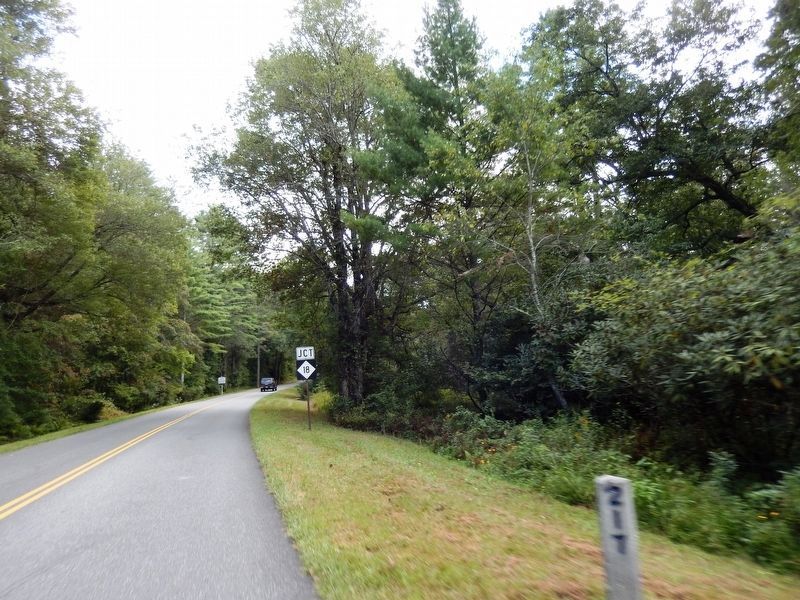
On Blue Ridge Parkway (at milepost 217), 0.3 miles north of North Carolina Route 18, on the right when traveling north.
On Blue Ridge Parkway at the High Piney Spur Overlook (at milepost 218.6), 1.8 miles the Virginia state line, on the left when traveling south.
On Blue Ridge Parkway (at milepost 241).
Near Cherry Street just east of Grayson Street, on the right when traveling east.
On Blue Ridge Parkway (at milepost 232.5), 3 miles west of U.S. 21, on the left when traveling south.
On Blue Ridge Parkway (at milepost 236.9), on the right when traveling south.
On Blue Ridge Parkway (at milepost 266.8), on the right when traveling south.
On Blue Ridge Parkway (at milepost 394) at North Carolina Highway 191, on the right when traveling north on Blue Ridge Parkway.
Near Assembly Drive at Georgia Terrace, on the left when traveling north.
On Blue Ridge Parkway (at milepost 411), 0.9 miles north of U.S. 276, on the right when traveling north.
On Road to Waterrock Knob north of Blue Ridge Parkway, on the right when traveling north.
On Blue Ridge Parkway (at milepost 422.8), on the left when traveling east.
On Blue Ridge Parkway (at milepost 325.9), 1.5 miles east of Altapass Highway, on the left when traveling south.
On Blue Ridge Parkway (at milepost 349.2), 2.7 miles north of South Toe River Road, on the right when traveling north.
On Blue Ridge Parkway (at milepost 328.6), 1.2 miles south of Altapass Highway, on the left when traveling south.
Paid Advertisement
On Blue Ridge Parkway (at milepost 328.6), 1.2 miles south of Altapass Highway, on the left when traveling south.
On Blue Ridge Parkway (at milepost 327.3), 0.2 miles east of Altapass Highway, on the left when traveling south.
On Blue Ridge Parkway (at milepost 467.9), 1.2 miles north of U.S. 441, on the left when traveling north.
On Blue Ridge Parkway (at milepost 467.9), 1.2 miles north of U.S. 441, on the left when traveling north.
Near Blue Ridge Parkway (at milepost 422.4), on the right when traveling north.
On Blue Ridge Parkway (at milepost 431), 8 miles south of Lake Logan Road (North Carolina Highway 215), on the left when traveling south.
On Blue Ridge Parkway (at milepost 431), 8 miles south of Lake Logan Road (North Carolina Highway 215), on the left when traveling south.
Near Blue Ridge Parkway (at milepost 417), on the right when traveling north.
Near Blue Ridge Parkway (at milepost 294), 2 miles west of U.S. 221, on the left when traveling south.
Near Blue Ridge Parkway (at milepost 294).
Near Blue Ridge Parkway (at milepost 294), 2 miles west of U.S. 221, on the left when traveling south.
On Blue Ridge Parkway (at milepost 239), on the left when traveling south.
On Blue Ridge Parkway (at milepost 239), on the left when traveling south.
On Blue Ridge Parkway (at milepost 239), on the left when traveling south.
Near Blue Ridge Parkway (at milepost 85.6) at Peaks Road (Virginia Route 43).
Near Blue Ridge Parkway (at milepost 86), 0.4 miles north of Peaks Road (Route 43).
Paid Advertisement
On Blue Ridge Parkway (at milepost 76.5), on the left when traveling south.
On Blue Ridge Parkway near Peaks Road (Virginia Route 43).
Near Blue Ridge Parkway (at milepost 86), 0.6 miles Peaks Road (Virginia Route 43).
Near Blue Ridge Parkway (at milepost 64), on the left when traveling south.
Near Blue Ridge Parkway (at milepost 64), on the left when traveling south.
Near Blue Ridge Parkway (at milepost 64), on the left when traveling south.
On Blue Ridge Parkway, on the left when traveling south.
On Blue Ridge Parkway (at milepost 95.4), on the right when traveling north.
On Blue Ridge Parkway (at milepost 203.9), 2.2 miles north of Lambsburg Road (Virginia Route 620), on the right when traveling north.
On Blue Ridge Parkway (at milepost 169), on the right when traveling south.
Near Blue Ridge Parkway (at milepost 176.2), 0.2 miles south of Mabry Mill Road SE (Virginia Route 603), on the left when traveling south.
Near Blue Ridge Parkway (at milepost 176.2), 0.2 miles south of Mabry Mill Road SE (Virginia Route 603), on the left when traveling south.
Near Blue Ridge Parkway (at milepost 176.2), 0.2 miles south of Mabry Mill Road SE (Virginia Route 603), on the left when traveling south.
Near Blue Ridge Parkway (at milepost 176.2), 0.2 miles south of Mabry Mill Road SE (Virginia Route 603), on the left when traveling south.
Near Blue Ridge Parkway (at milepost 176.2), 0.2 miles south of Mabry Mill Road SE (Virginia Route 603), on the left when traveling south.
Near Blue Ridge Parkway (at milepost 176.2), 0.2 miles south of Mabry Mill Road SE (Virginia Route 603), on the left when traveling south.
Paid Advertisement
Near Blue Ridge Parkway (at milepost 176.2), 0.2 miles south of Mabry Mill Road SE (Virginia Route 603), on the left when traveling south.
Near Blue Ridge Parkway (at milepost 176.2), 0.2 miles south of Mabry Mill Road SE (Virginia Route 603), on the left when traveling south.
Near Blue Ridge Parkway (at milepost 176.2), 0.2 miles south of Mabry Mill Road SE (Virginia Route 603), on the left when traveling south.
Near Blue Ridge Parkway (at milepost 176).
Near Blue Ridge Parkway (at milepost 176.2), 0.2 miles south of Mabry Mill Road SE (Virginia Route 603), on the left when traveling south.
Near Blue Ridge Parkway (at milepost 176.2), 0.2 miles south of Mabry Mill Road SE (Virginia Route 603), on the left when traveling south.
On Blue Ridge Parkway at Howardsville Turnpike, on the right when traveling south on Blue Ridge Parkway.
On Blue Ridge Parkway, 3 miles south of Campbells Mountain Road (Virginia Route 814), on the left when traveling south.
On Blue Ridge Parkway (at milepost 168), 2.8 miles south of Parkway Lane South (Virginia Route 8), on the left when traveling south.
On Blue Ridge Parkway (at milepost 168.8), 3.5 miles south of Parkway Lane South (Virginia Route 8), on the left when traveling south.
Near Blue Ridge Parkway (at milepost 129.6), on the right when traveling south.
On Blue Ridge Parkway (at milepost 34.4), on the right when traveling north.