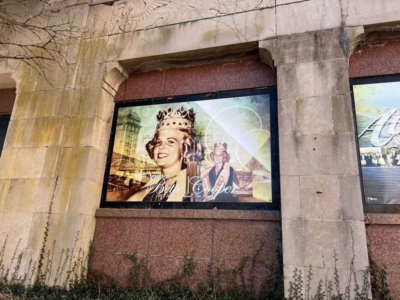
By Devry Becker Jones (CC0), January 22, 2022
Mural for Bette Cooper along the Atlantic City Boardwalk
| On North Michigan Avenue just south of Arctic Avenue, on the left when traveling south. |
| On North Michigan Avenue just north of Atlantic Avenue, on the right when traveling north. |
| On Baltic Avenue at North Ohio Avenue, on the right when traveling west on Baltic Avenue. |
| On North Michigan Avenue just south of Arctic Avenue, on the right when traveling south. |
| On North Michigan Avenue just north of Atlantic Avenue, on the left when traveling north. |
| On North Michigan Avenue north of Atlantic Avenue, on the left when traveling north. |
| On North Doctor Martin Luther King Boulevard at Marmora Avenue, on the right when traveling south on North Doctor Martin Luther King Boulevard. |
| On Atlantic Avenue at North North Carolina Avenue, on the right when traveling west on Atlantic Avenue. |
| On Atlantic Avenue at North Mississippi Avenue, on the right when traveling west on Atlantic Avenue. |
| On North Michigan Avenue just south of Arctic Avenue, on the left when traveling south. |
| On Atlantic Avenue at No. Martin Luther King, Jr. Blvd, on the right when traveling west on Atlantic Avenue. |
| On North Michigan Avenue just south of Arctic Avenue, on the left when traveling south. |
| On N. Martin Luther King, Jr. Blvd at Arctic Avenue, on the right when traveling south on N. Martin Luther King, Jr. Blvd. |
| On North Michigan Avenue north of Atlantic Avenue, on the right when traveling north. |
| On North Michigan Avenue just north of Atlantic Avenue, on the right when traveling north. |
| On North Michigan Avenue just north of Atlantic Avenue, on the right when traveling north. |
| On North Michigan Avenue just north of Atlantic Avenue, on the left when traveling north. |
| On North Michigan Avenue just north of Atlantic Avenue, on the left when traveling north. |
| On North Michigan Avenue north of Atlantic Avenue, on the left when traveling north. |
| On Virginia Avenue, 0.1 miles south of Arctic Avenue, on the left when traveling south. |
| On Boardwalk just west of South Mississippi Avenue, on the left when traveling west. |
| On North Michigan Avenue just south of Arctic Avenue, on the left when traveling south. |
| On North Michigan Avenue just north of Atlantic Avenue, on the right when traveling north. |
| On North Michigan Avenue just north of Atlantic Avenue, on the right when traveling north. |
| On North Ohio Avenue just west of Gramercy Avenue, on the right when traveling west. |
| On Atlantic Avenue just west of South 24th Avenue, on the right when traveling west. |
| On S. New Haven Ave. south of Atlantic Ave., on the left when traveling south. |
| On Durie Avenue at High Street, on the right when traveling south on Durie Avenue. |
| On West Street at High Street (County Route 502), on the left when traveling north on West Street. |
| On Washington Avenue, on the left when traveling north. |
| Near River Road at Glenwood Avenue, on the left when traveling south. |
| On Tenafly Road at Pleasant Ave, on the left when traveling north on Tenafly Road. |
| On Rock Road at Ackerman Avenue, on the right when traveling west on Rock Road. |
| Near Franklin Turnpike at Rosenkrantz Lane, on the right when traveling south. |
| On Riverside Avenue at Fern Avenue, on the right when traveling north on Riverside Avenue. |
| On Riverside Ave at Fern Ave, on the right when traveling north on Riverside Ave. |
| Near Ramapo Valley Road (U.S. 202) at Darlington Avenue. |
| On W. Midland Avenue, on the left when traveling east. |
| On Ridge Avenue, on the left when traveling west. |
| On Franklin Avenue at Cottage Place, on the right when traveling east on Franklin Avenue. |
| On E Glen Avenue, on the left when traveling west. |
| On Mt. Pleasant Avenue at Wagner Avenue, on the left when traveling north on Mt. Pleasant Avenue. |
| On Crosswicks St. near Farnsworth Ave, in the median. |
| On Crosswicks Street at East Burlington Street, on the left when traveling west on Crosswicks Street. |
| On Crosswicks Street (County Route 528) at East Burlington Street, on the left when traveling west on Crosswicks Street. |
| On East Burlington Street at Hopkinson Street, on the left when traveling west on East Burlington Street. |
| On County Road 662 at Farnsworth Avenue, on the left when traveling east on County Road 662. |
| On Farnsworth Avenue (County Road 545) just south of County Road 662, on the right when traveling north. |
| On North Whites Bog Road at West Whites Bog Road, on the left when traveling north on North Whites Bog Road. |
| On Riverbank/West Delaware Avenue at Ellis Street, on the left when traveling east on Riverbank/West Delaware Avenue. |
| On East Broad Street just west of Lawrence Street, on the right when traveling east. |
| On West Union Street, 0.1 miles east of Wood Street, on the left when traveling east. |
| On Riverbank, on the left when traveling east. |
| On Creek Road, on the right when traveling east. |
| On Main Street near Third Street, on the right when traveling north. |
| On Mill Street at Enclave Court, on the right when traveling north on Mill Street. |
| On Filbert Street at Church Street, on the right when traveling south on Filbert Street. |
| On Branch Street at Broad Street, on the left when traveling east on Branch Street. |
| On Church Road at Ark Road, on the left when traveling east on Church Road. |
| On Branch Street at Broad Street, on the right when traveling east on Branch Street. |
| On N Main Street (County Route 541), on the right when traveling south. |
| On Church Road at Eayrestown Road, on the right when traveling east on Church Road. |
| On High Street, 0.3 miles Rancocas Road/Garden Street, on the right when traveling north. |
| On East Spring Garden Street east of Cinnaminson Avenue, on the right when traveling east. |
| On Main Street just north of 4th Street, on the right when traveling north. |
| On 5th Street just east of Howard Street, on the right when traveling west. |
| On Main Street just south of 3rd Street, on the right when traveling south. |
| On 5th Street just east of Howard Street, on the right when traveling west. |
| On Bank Avenue west of Penn Street, on the left when traveling west. |
| On Carranza Road at Medford Lakes Road/Chatsworth Road (County Route 532), on the right when traveling north on Carranza Road. |
| On Carranza Road at Chatsworth Road on Carranza Road. |
| On Salem Road (changed to Rev. M. L. King Drive), 0.4 miles Beverly-Rancocas Road, on the left when traveling north. |
| On Friendship-Speedwell Road at Hawkins-Speedwell Road, on the left when traveling west on Friendship-Speedwell Road. |
| On South White Horse Pike just south of East Broad Street. |
| Near Clinton Street west of South Delaware Avenue, on the right when traveling west. |
| Near Clinton Street west of South Delaware Avenue, on the right when traveling west. |
| Near Clinton Street west of South Delaware Avenue, on the right when traveling west. |
| Near Clinton Street west of South Delaware Avenue, on the right when traveling south. |
| On Fourth Street south of Cooper Street, on the right when traveling south. |
| Near Lawrence Street east of Fourth Street, on the left when traveling east. |
| Near Lawrence Street east of Fourth Street, on the left when traveling east. |
| On W Collings Avenue at Lynne Avenue, on the right when traveling west on W Collings Avenue. |
| On Rhoads Avenue at MacArthur Blvd., on the left when traveling north on Rhoads Avenue. |
| On Kings Highway East (New Jersey Route 41) west of Morehouse Lane, on the right when traveling west. |
| On Grove Street at Lake Street, on the left when traveling west on Grove Street. |
| On Kings Highway East (New Jersey Route 41) west of Morehouse Lane. |
| On Atlantic Avenue Northwest just north of Evesham Road, on the right when traveling north. Reported unreadable. |
| On Atlantic Avenue Northwest just north of West Madison Avenue, on the right when traveling north. Reported unreadable. |
| On Franklin Street just east of Lafayette Street, on the right when traveling east. |
| On Franklin Street just east of Lafayette Street, on the right when traveling east. |
| On Lexington Road, 0.1 miles north of Breakwater Road (County Road 613), on the right when traveling north. |
| On Breakwater Road (County Road 613) just west of Terminal Drive, on the right when traveling west. |
| Near Breakwater Road (County Road 613) just west of Terminal Drive, on the right when traveling west. |
| Near County Park Road west of North Main Street (U.S. 9), on the left when traveling west. |
| Near County Park Road, 0.3 miles west of North Main Street (U.S. 9), on the left when traveling west. |
| On East Main Street, 0.2 miles east of Shore Road (U.S. 9), on the left when traveling east. |
270 entries matched your criteria. The first 100 are listed above.
Next 100 ⊳