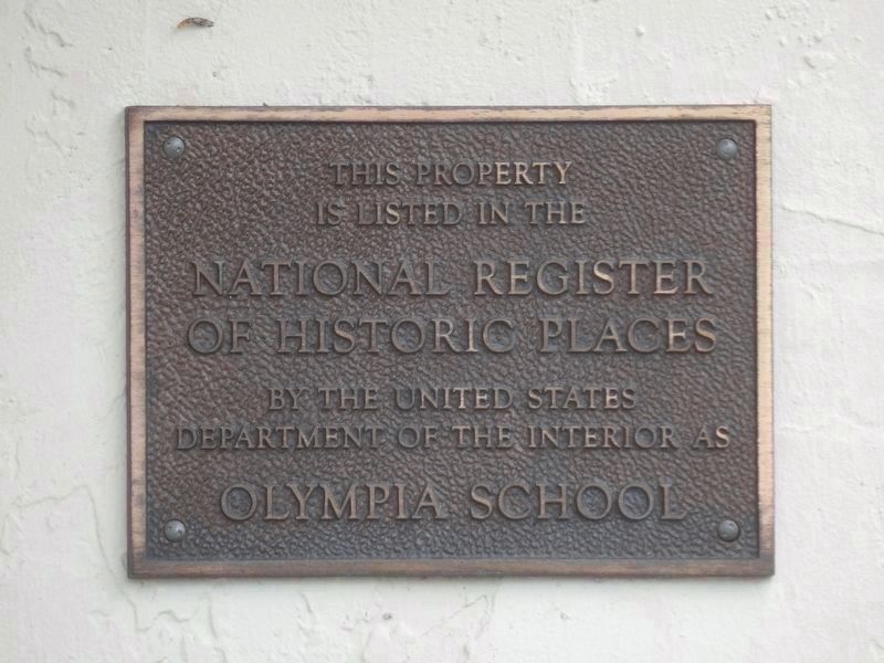
By Duane and Tracy Marsteller, March 12, 2022
Secondary Marker
| On SE Apollo Street at SE Ceres Street, on the right when traveling west on SE Apollo Street. |
| Near an unnamed park road.. |
| Near Park Road near Federal Highway (U.S. 1). |
| On Southeast Apollo Street, on the left when traveling east. |
| Near SE Federal Highway (U.S. 1) at Park Road, on the right when traveling south. |
| On Southwest Warfield Boulevard (Florida Route 710) at Southwest Jefferson Avenue, on the right when traveling west on Southwest Warfield Boulevard. |
| On Southwest Citrus Boulevard (County Road 726) 0.2 miles east of Southwest Myrtle Drive, on the right when traveling east. Reported missing. |
| On Northeast Dixie Highway 0.2 miles south of Northeast Indian River Drive (County Road 707), on the left when traveling north. |
| On Northeast Indian River Drive. |
| Near Northeast Indian River Drive (County Route 707) at Northeast Elaine Street, on the left when traveling south. |
| Near North East Indian River Drive 0.3 miles NE Palmer Street, on the right when traveling north. |
| On Northeast Dixie Highway (State Road 707) at Northeast Arch Street, on the left when traveling south on Northeast Dixie Highway. |
| Near Northeast Indian River Drive (County Route 707) 0.3 miles north of Northeast Palmer Street, on the right when traveling north. |
| Near Northeast Indian River Drive 0.3 miles north of Northeast Palmer Street, on the right when traveling north. |
| Near an unnamed park road.. |
| Near Southeast Federal Highway. |
| Near an unnamed park road.. |
| On SW Kanner Highway (State Road 76) 2.3 miles east of U.S. 98/441, on the right when traveling east. |
| On South Sewall's Point Road south of Southeast Ocean Boulevard (State Road A1A), on the right when traveling north. |
| On Indialucie Parkway at North Sewall's Point Road (County Road 707), in the median on Indialucie Parkway. |
| On West High Point Road at East High Point Road, in the median on West High Point Road. |
| On Southwest Joan Jefferson Way. |
| On Southeast Murray Street west of Southeast 46th Street, on the right when traveling west. |
| On SW St. Lucie Avenue at SW Seminole Street on SW St. Lucie Avenue. |
| On SE Palm Beach Road south of SE Ocean Boulevard ( Road A1A), on the right when traveling north. |
| On SE Krueger Creek Place at SE Ocean Boulevard ( Road A1A), on the right when traveling south on SE Krueger Creek Place. |
| On SW St. Lucie Avenue at SW Osceola Street, on the left when traveling north on SW St. Lucie Avenue. |
| Near NW Dixie Highway north of SW Albany Avenue, on the right when traveling north. |
| On Southwest Flagler Avenue 0.1 miles north of SW St Lucie Avenue, on the right when traveling north. |
| On Southwest Flagler Avenue, on the right when traveling north. |
| Near Southeast MacArthur Boulevard 1.4 miles south of Southeast Ocean Boulevard (State Road A1A), on the left when traveling south. |
| On Southeast MacArthur Boulevard 1.4 miles south of Southeast Ocean Boulevard (State Road A1A), on the left when traveling south. |
| On Southeast MacArthur Boulevard 1 mile south of Northeat Plantation Road, on the left when traveling south. |
| On South East Dixie Highway (State Road A1A) at Southeast Delmar Street, on the right when traveling north on South East Dixie Highway. |
| On SW 3rd Street at SW Akron Avenue, on the right when traveling west on SW 3rd Street. |
| On SW Flagler Avenue east of SW St. Lucie Avenue, on the left when traveling east. |
| On SE Ocean Boulevard (State Road A1A) at SE Denver Avenue, on the right when traveling east on SE Ocean Boulevard. |
| On SE Ocean Boulevard (State Road A1A) at SE Denver Avenue, on the right when traveling east on SE Ocean Boulevard. |
| On Southwest Flagler Avenue 0.1 miles north of SW St Lucie Avenue, on the right when traveling north. |
| On SW Flagler Avenue at SW St. Lucie Avenue, on the right when traveling east on SW Flagler Avenue. |
| On Southwest Flagler Avenue, on the right when traveling north. |
| Near Southwest Flagler Avenue 0.1 miles north of SW St Lucie Avenue, on the right when traveling north. |
| On Southeast Ocean Boulevard, on the right when traveling east. |
| On South Main Street, on the right when traveling north. |
| Near East Canal Street South 0.5 miles east of Duda Road, on the right when traveling east. |
| On Southwest Martin Luther King Boulevard just west of Southwest 10th Street, on the left when traveling east. |
| On North University Drive at FAU Boulevard, on the right when traveling east on North University Drive. |
| On South Ocean Boulevard (Florida Route A1A) just south of East Palmetto Park Road. |
| On North Federal Highway (U.S. 1) at East Boca Rotan Road, on the right when traveling south on North Federal Highway. |
| On South Dixie Highway at Southeast 8th Street, on the right when traveling south on South Dixie Highway. |
| On West Palmetto Park Road (County Road 798) at Cardinal Avenue, on the right when traveling west on West Palmetto Park Road. |
| On North Federal Highway (U.S. 1) north of East Palmetto Park Road, on the right when traveling north. |
| On South Ocean Boulevard, on the right when traveling north. |
| Near North Ocean Boulevard (State Road A1A) 0.5 miles south of Northeast Spanish River Boulevard (State Road 800), on the right when traveling south. |
| Near South Ocean Boulevard (State Road A1A) 0.2 miles south of Palm Avenue, on the left when traveling south. |
| On East Ocean Avenue at Northeast 1st Street, on the right when traveling west on East Ocean Avenue. Reported missing. |
| Near Northwest 5th Street at Martin Luther King Jr Boulevard, on the right when traveling south. |
| Near South Seacrest Boulevard south of Southwest 26th Avenue, on the right when traveling south. |
| On South Federal Highway (U.S. 1) at Southeast10th Avenue, on the right when traveling north on South Federal Highway. |
| On Seacrest Boulevard at 10th Avenue, on the right when traveling south on Seacrest Boulevard. |
| Near North Ocean Boulevard (State Road A1A) 0.1 miles north of Sea Lake Drive, on the left when traveling north. |
| On U.S. 98 just north of 3rd Street, on the left when traveling north. |
| Near Morikami Park Road north of Puzzle Place, on the left when traveling north. |
| On East Atlantic Avenue (State Road 806) 0.1 miles east of Northeast 7th Avenue, on the right when traveling west. |
| On South Ocean Boulevard (State Road A1A) at Bay Street, on the right when traveling north on South Ocean Boulevard. |
| On Northeast 1st Street at North Swinton Avenue, on the right when traveling west on Northeast 1st Street. |
| On Northwest 5th Avenue 0.1 miles north of West Atlantic Avenue (State Road 806), on the right when traveling north. |
| Near Morikami Park Road north of Puzzle Place, on the left when traveling north. |
| On North Swinton Avenue at Northeast 5th Street, on the right when traveling north on North Swinton Avenue. |
| On NE 2nd Avenue at George Bush Boulevard on NE 2nd Avenue. |
| On North Ocean Boulevard (State Road A1A) south of Thomas Street, on the right when traveling south. |
| On Northwest 5th Avenue 0.1 miles north of West Atlantic Avenue (State Road 806), on the right when traveling north. |
| Near Morikami Park Road west of Puzzle Place, on the left when traveling west. |
| On Gleason Street 0.1 miles south of East Atlantic Avenue (State Road 806), on the right when traveling north. |
| On Railroad Avenue at Northeast 1st Street, on the right when traveling south on Railroad Avenue. |
| Near Morikami Park Road west of Puzzle Place, on the left when traveling west. |
| On Palm Square close to E. Atlantic Avenue. |
| On SE 7th Avenue at SE 2nd Street, in the median on SE 7th Avenue. |
| On Venetian Drive at Nassau Street, on the right when traveling north on Venetian Drive. |
| On Northeast 2nd Avenue north of East Atlantic Avenue ( Route 806), on the left when traveling north. |
| On North Swinton Avenue just south of Northeast 4th Street, on the left when traveling north. |
| On North Ocean Boulevard (State Road A1A) 0.1 miles south of Thomas Street, on the right when traveling north. |
| Near Morikami Park Road west of Puzzle Place, on the left when traveling west. |
| Near South Jog Road south of Valencia Palms Drive, on the right when traveling north. |
| On Northwest 4th Avenue at Northwest 2nd Street, on the right when traveling south on Northwest 4th Avenue. |
| On Northwest 5th Avenue 0.1 miles West Atlantic Avenue (State Road 806), on the left when traveling north. |
| Near Morikami Park Road north of Puzzle Place, on the left when traveling north. |
| On North Ocean Boulevard (State Road A1A) at Sea Road, on the right when traveling south on North Ocean Boulevard. |
| On North Ocean Boulevard (State Road A1A) 0.1 miles north of George Bush Boulevard (State Road 806A), on the right when traveling north. |
| Near Hypoluxo Road 0.1 miles South Federal Highway (U.S. 1), on the left when traveling west. |
| On Ocean Drive (State Road A1A) at Erikson Way, on the left when traveling north on Ocean Drive. |
| On Ocean Drive (Florida Route A1A) near Venus Drive, on the right when traveling south. |
| On Erikson Way at U.S. 1, on the right when traveling south on Erikson Way. |
| On Erikson Way at U.S. 1, on the left when traveling south on Erikson Way. |
| On Ocean Drive (Florida Route A1A) just north of Venus Drive, on the right when traveling south. |
| On Captain Armour's Way 0.1 miles south of South Beach Road (County Road 707), on the left. |
| Near Jupiter Lighthouse Park at Coast Guard Way, on the right when traveling east. |
268 entries matched your criteria. The first 100 are listed above.
Next 100 ⊳
