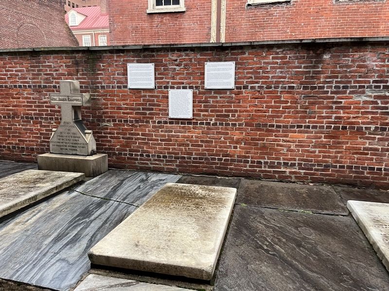
By Devry Becker Jones (CC0), January 13, 2023
Maj. Henry C. Whelan Marker
| On South 4th Street south of Locust Street, on the left when traveling north. |
| Near Wilkes Street at South Royal Street, in the median. |
| Near Wilkes Street east of South Royal Street, on the left when traveling east. |
| Near Fords Landing Way north of Wharf Street, on the right when traveling north. |
| Near Fords Landing Way at Franklin Street, on the left when traveling south. Reported permanently removed. |
| Near Wilkes Street at South Royal Street, in the median. |
| On South Union Street 0.1 miles south of Wolfe Street, on the right when traveling south. |
| On Jamieson Avenue at Daingerfield Road, on the right when traveling west on Jamieson Avenue. |
| On Business Center Drive east of Witter Drive, on the left when traveling north. |
| On South Amherst Highway (U.S. 29) just south of Richmond Highway (U.S. 60), on the right when traveling north. |
| On South Commerce Street, on the left when traveling south on South Commerce Street. Reported missing. |
| On Sperryville Pike (U.S. 522), on the right when traveling south. |
| Near Parakeet Drive 0.5 miles west of Kite Street, on the left when traveling west. |
| On Burke Lake Road (County Route 645) near Shipplet Boulevard, on the right when traveling east. |
| On Main Street (Virginia Route 645) at Ford Lane, on the right when traveling north on Main Street. |
| Near Main Street (Virginia Route 645) at Ford Lane, on the right when traveling north. Reported permanently removed. |
| On Main Street (Virginia Route 645) at Ford Lane, on the right when traveling north on Main Street. |
| On Fairfax Station Road 0.4 miles west of Ox Road ( Route 123), on the right when traveling west. |
| On Fairfax Station Road west of Hill Street, on the right when traveling west. |
| On Accotink Park Road 1.2 miles west of Highland Street, on the left when traveling north. |
| On Accotink Park Road at Southern Drive on Accotink Park Road. |
| On Accotink Park Road, on the left when traveling east. Reported permanently removed. |
| On Hechinger Drive near Backlick Road (County Route 617), on the left when traveling east. |
| On Accotink Park Road, on the left when traveling east. |
| On Remington Road (Business U.S. 15/29) south of Summerduck Road (County Route 651). Reported permanently removed. |
| On Warrenton Branch Greenway 0.2 miles south of South 5th Street, on the right when traveling south. |
| Near Battery Heights Boulevard south of Quarry Road when traveling south. |
| On West Street just south of Center Street ( Route 28), on the left when traveling south. Reported permanently removed. |
| On Battle Street north of Prince William Street, on the left when traveling north. |
| Near Prince William Street just west of Main Street, on the left when traveling west. Reported permanently removed. |
| Near Prince William Street west of Main Street, on the right when traveling east. |
| On Battery Heights Boulevard south of Quarry Road, on the right when traveling north. |
| On Prince William Street at Battle Street, on the right when traveling east on Prince William Street. |
| Near Prince William Street just west of Main Street, on the left when traveling west. Reported permanently removed. |
| Near Prince William Street west of Main Street, on the right when traveling east. |
| On Prince William Street at Wellington Road, on the left when traveling west on Prince William Street. Reported permanently removed. |
| Near Battery Heights Boulevard south of Quarry Road, on the right when traveling north. |
| On Connor Drive. Reported permanently removed. |
| On Conner Drive at Euclid Avenue, on the left when traveling east on Conner Drive. |
| Near Conner Drive east of Centreville Road ( Route 28). Reported permanently removed. |
| On Conner Drive 0.2 miles east of Euclid Avenue, on the left when traveling east. |
| On Short Street just south of East Main Street, on the left when traveling north. |
| On East Main Street (State Highway 20) at Short Street, on the right when traveling east on East Main Street. |
| On Short Street just south of East Main Street, on the right when traveling south. |
| On Short Street just south of East Main Street, on the right when traveling south. |
| On Bristow Road (Virginia Route 619) just south of Nokesville Road ( Route 28), on the left when traveling south. |
| On 10th Alabama Way just south of Iron Brigade Unit Avenue, on the right when traveling south. |
| On Iron Brigade Unit Avenue, on the right when traveling east. Reported missing. |
| Near 10th Alabama Way 0.1 miles Iron Brigade Unit Avenue, on the right when traveling south. |
| On Aden Road (Virginia Route 646) at Marsteller Drive, on the right when traveling south on Aden Road. Reported permanently removed. |
| On Aden Road (Virginia Route 646) at Marsteller Drive, on the right when traveling south on Aden Road. Reported permanently removed. |
