By Col. James F. Jamison, USMC (Ret)
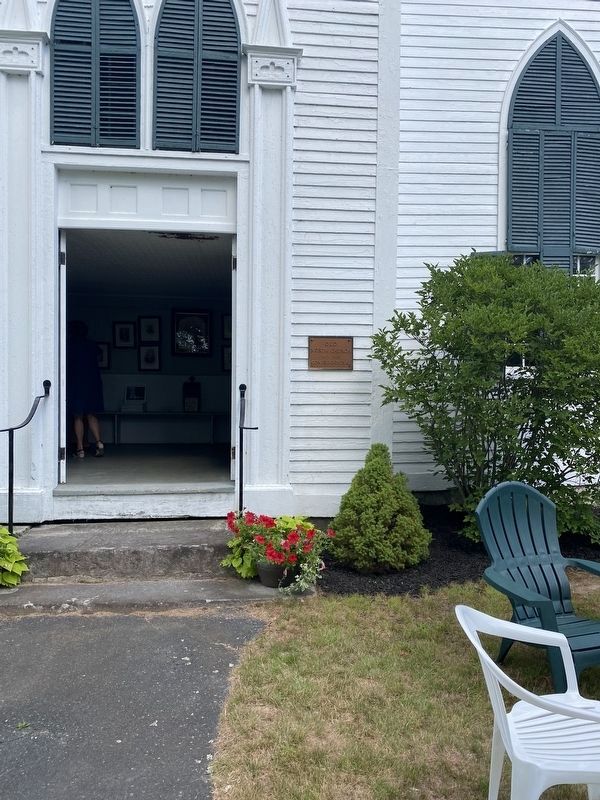
Old North Church Entrance
GEOGRAPHIC SORT Title Sort Marker Number Sort Marker Number Sort N Marker Number Sort T Publication Order Sort Publication Order Sort A Erected Year Sort Most Viewed Sort Most Recent-Interest Sort Most Recently Changed Sort SEE FAQ #33 FOR DESCRIPTIONS
On Canaan Street at Prospect Hill Road, on the right when traveling north on Canaan Street.
On E. Lost River Road (New Hampshire Route 112) at Tunnel Brook Road, on the right when traveling east on E. Lost River Road.
On Main Street at Blacksmith Alley, on the right when traveling east on Main Street.
On New Hampshire Route 4 at High Street, on the left when traveling east on State Route 4.
On New Hampshire Route 4 near High Street, on the left when traveling east.
On New Hampshire Route 4 at High Street, on the left when traveling east on State Route 4.
On New Hampshire Route 4 near High Street, on the left when traveling east.
On New Hampshire Route 4 at High Street, on the left when traveling east on State Route 4.
On New Hampshire Route 4 at High Street, on the left when traveling east on State Route 4.
On New Hampshire Route 4 at High Street, on the left when traveling east on State Route 4.
On Main Street at Blacksmith Alley, on the right when traveling west on Main Street.
On Main Street at Blacksmith Alley, on the right when traveling west on Main Street.
On Main Street at Oak Grove Street, on the left when traveling east on Main Street.
On Main Street at Oak Grove Street, on the left when traveling east on Main Street.
On Main Street at Shaker Hill Road, on the left when traveling west on Main Street.
Paid Advertisement
On Main Street at Blacksmith Alley on Main Street.
On New Hampshire Route 4A at Caleb Dyer Lane, on the right when traveling south on State Route 4A.
On New Hampshire Route 4A, 0.2 miles south of Goodhue Hill Road, on the right when traveling south.
On Main Street (New Hampshire Route 116) 0.1 miles south of Sugar Hill Road (New Hampshire Route 117), on the left when traveling north.
Near Styles Bridges Highway (U.S. 93).
On Main Street (New Hampshire Route 116) 0.1 miles south of Sugar Hill Road (New Hampshire Route 117), on the left when traveling north.
On New Hampshire Route 142, on the right when traveling south.
On Main Street (New Hampshire Route 116) 0.1 miles south of Sugar Hill Road (New Hampshire Route 117), on the left when traveling north.
Near Styles Bridges Highway (U.S. 93).
Near Recreational Trail (U.S. 93).
Paid Advertisement
Near Tramway Drive west of Styles Bridges Highway (Interstate 93) when traveling south.
Near Styles Bridges Highway (U.S. 93).
On Main Street (New Hampshire Route 116) 0.1 miles south of Sugar Hill Road (New Hampshire Route 117), on the right when traveling south.
Near Styles Bridges Highway (U.S. 93).
Near Recreational Trail (U.S. 93).
On Daniel Webster Highway (U.S. 3).
Near Tramway Drive west of Styles Bridges Highway (Interstate 93) when traveling south.
On East Wheelock Street at North Main Street (New Hampshire Route 10), on the right when traveling west on East Wheelock Street.
On Wheelock Street at College Street, on the right when traveling east on Wheelock Street.
On Main Street near E Wheelock Street, on the right when traveling north.
On Main Street at Allen Street, on the left when traveling north on Main Street.
On Lebanon Street at Summer Street, on the left when traveling west on Lebanon Street.
Paid Advertisement
On Main Street near Allen Street, on the left when traveling north.
On Main Street near Allen Street, on the left when traveling north.
On Wheelock Street at College Street, on the right when traveling east on Wheelock Street.
On Dartmouth College Highway (New Hampshire Route 10 at milepost 113.6) at Court Street, on the right when traveling north on Dartmouth College Highway.
On Dartmouth College Highway (New Hampshire Route 10) at Court Street, on the right when traveling north on Dartmouth College Highway.
On Meadow Lane, 0.8 miles west of Dartmouth College Highway (New Hampshire Route 10), on the right when traveling west.
On Darthmouth College Highway at Horse Meadow Road on Darthmouth College Highway.
On Dartmouth College Highway, 0.2 miles south of S. Court Street.
On Monroe Road (New Hampshire Route 135) 0.1 miles north of Central Street (U.S. 302), on the right when traveling north.
On Groton Road at West Shore Road, on the right when traveling west on Groton Road.
On Daniel Webster Highway (U.S. 3) at New Hampshire Route 113, on the left when traveling south on Daniel Webster Highway.
On New Hampshire Route 175.
Near S. Park Street at Bank Street, on the left when traveling east.
On North Park Street at Bank Street, on the right when traveling east on North Park Street.
Near S. Park Street at Bank Street, on the left when traveling east.
On S. Park Street at Bank Street, on the left when traveling east on S. Park Street.
Paid Advertisement
On Miracle Mile at Poverty Lane, on the right when traveling west on Miracle Mile.
On Daniel Webster Highway (U.S. 3), on the right when traveling north.
Near Daniel Webster Highway (U.S. 3) 0.2 miles north of Connector Road.
On Daniel Webster Highway (U.S. 3) 0.2 miles north of Connector Road, on the right when traveling north.
On Kancamagus Highway, on the right when traveling east.
On Daniel Webster Highway (U.S. 3) 0.2 miles north of Connector Road, on the right when traveling north.
On Kancamagus Highway, on the right when traveling east.
On Daniel Webster Highway (U.S. 3) at Connector Road on Daniel Webster Highway.
Near Daniel Webster Highway (U.S. 3) at Connector Road, on the right when traveling north.
On North Main Street (U.S. 302) 1.7 miles east of Sugar Hill Road (New Hampshire Route 117), on the right when traveling east.
On Dartmouth College Road (U.S. 302) 2 miles south of Sugar Hill Road (New Hampshire Route 117), on the right when traveling south.
On Main Street (U.S. 302) east of Ammonoosuc Street, on the right when traveling east.
On Main Street (U.S. 302) at Westhill Street, on the right when traveling east on Main Street.
On Main Street (U.S. 302) east of School Street, on the right when traveling east.
On Main Street (U.S. 302) east of Jackson Street, on the right when traveling east.
On Main Street (U.S. 302) west of Pleasant Street, on the right when traveling west.
Paid Advertisement
On West Main Street (U.S. 302) at Church Street, on the right when traveling east on West Main Street.
On Main Street (U.S. 302) west of Mill Street, on the right when traveling east.
On Main Street (U.S. 302) east of Ammonoosuc Street, on the right when traveling east.
On Main Street at Pleasant Street, on the right when traveling west on Main Street.
On Cottage Street (U.S. 302) at Kilburn Street, on the left when traveling north on Cottage Street.
On Main Street (U.S. 302) east of School Street, on the left when traveling east.
On Main Street (U.S. 302) west of Union Street (New Hampshire Route 116), on the right when traveling east.
On West Main Street (New Hampshire Route 18) 0.5 miles east of Interstate 93, on the right when traveling east.
On Main Street (New Hampshire Route 18) at Maple Street, on the right when traveling west on Main Street.
On Main Street (U.S. 302) west of Ammonoosuc Street, on the left when traveling west.
On Main Street (New Hampshire Route 302) east of Pleasant Street, on the left when traveling east.
On Main Street (U.S. 302) west of School Street, on the right when traveling west.
On Main Street (U.S. 302) at Jackson Street, on the right when traveling west on Main Street.
On Cottage Street south of Main Street (U.S. 302), on the right when traveling south.
On Main Street (U.S. 302) east of Ammonoosuc Street, on the right when traveling east.
On Riverside Drive north of South Street, on the right when traveling east.
Paid Advertisement
On Main Street (U.S. 302) east of Saranac Street, on the right when traveling east.
On Main Street (U.S. 302) east of Mill Street, on the right when traveling east.
On Main Street (U.S. 302) east of Maple Street, on the right when traveling west.
On Meadow Street (US 302), 2 miles south of Styles Bridges Highway.
On On The Common west of Dorchester Road, on the left when traveling east.
785 entries matched your criteria. Entries 201 through 300 are listed above.
⊲ Previous 100 —
Next 100 ⊳