By Cosmos Mariner, July 2, 2021
Carnegie Library Marker
| On South 1st Street just north of Southeast Kent Street (State Route 92), on the right when traveling north. |
| Near Tracy Street just south of North Park Place, on the left when traveling south. |
| On East 5th Street just east of Erie Street, on the right when traveling east. |
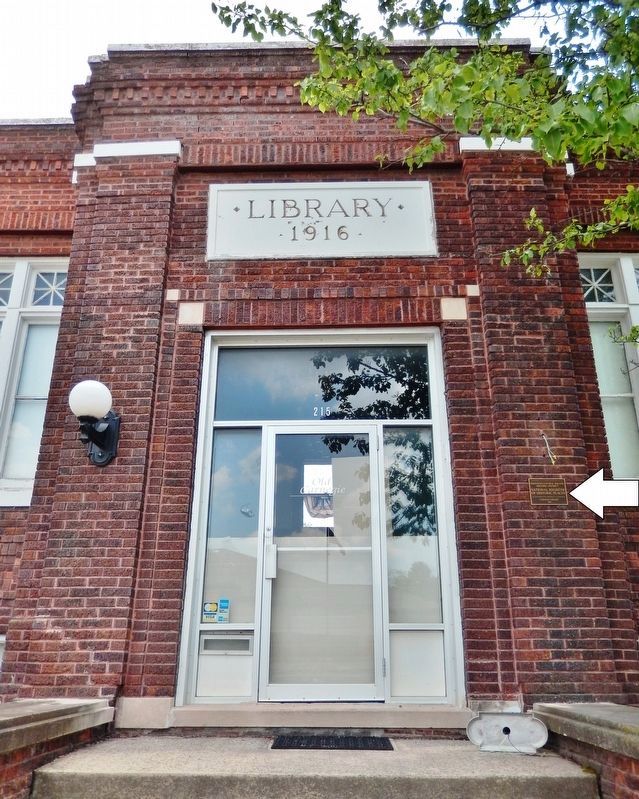
| On Poplar Street (State Highway 83) at 6th Street, on the right when traveling north on Poplar Street. |
| Near S Downey Street, on the right when traveling south. |
| On Penn Street at Poplar Street, on the right when traveling west on Penn Street. |
| Near Poplar Street. Reported permanently removed. |
| Near Interstate 80 at milepost 270,, 1 miles west of Rose Avenue (County Highway X64), on the right when traveling west. |
| On State Street at Pennsylvania Avenue, on the left when traveling east on State Street. |
| On Linden Street south of Main Street (U.S. 69), on the right when traveling south. |
| On NW Church Street (U.S. 69) north of 6th Street, on the left when traveling north. |
| On North 4th Street just north of Columbia Street, on the left when traveling north. |
| On Hill Avenue at 18th Street (U.S. 71), on the right when traveling north on Hill Avenue. |
| On Central Avenue (U.S. 52) at East 8th Street, on the left when traveling south on Central Avenue. |
| On North Broadway Street south of East Broad Street, on the left when traveling south. |
| Near North Main Street north of East Pearl Street, on the right when traveling north. |
| Near North Broadway Street south of East Broad Street, on the left when traveling south. |
| Near North Broadway Street south of East Broad Street, on the left when traveling south. |
| On West Broad Street at North Main Street, on the right when traveling west on West Broad Street. |
| Near North Broadway Street south of East Broad Street, on the left when traveling south. |
| Near Interstate 80 at milepost 208,, 3.6 miles west of County Highway V52, on the right when traveling west. |
| Near North Clinton Street north of Iowa Avenue, on the left when traveling north. |
| On East Market Street just west of North Clinton Street, on the right when traveling west. |
| Near West Jefferson Street just east of North Madison Street, on the right when traveling east. |
| Near East Washington Street just west of South Clinton Street, on the right when traveling west. |
| On North Dubuque Street just north of Iowa Avenue, on the right when traveling north. |
| On West Jefferson Street east of North Madison Street, on the left when traveling east. |
| Near North Clinton Street at Iowa Avenue, on the right when traveling south. |
| On South Clinton Street at East College Street, on the right when traveling north on South Clinton Street. |
| Near Interstate 80 at milepost 237,, 6.3 miles east of Black Hawk Avenue NW, on the right when traveling east. |
| On Main Street (State Highway 149) south of Washington Street, on the left when traveling south. |
| On Mississippi River Road (Highway X28) north of 315th Street, on the right when traveling north. |
| On 1st Avenue Northeast (Business U.S. 151) just west of 10th Street Southeast, on the left when traveling west. |
| On 4th Avenue Southeast just west of 5th Street Southeast, on the right when traveling west. |
| On 1st Avenue Northeast (Business U.S. 151) just south of College Drive Northeast, on the right when traveling south. |
| Near 5th Avenue Southwest north of 3rd Street Southwest, on the left when traveling north. |
| On John Wayne Drive south of Jefferson Street, on the right when traveling north. |
| On Jefferson Street west of John Wayne Drive, on the right when traveling west. |
| On Court Avenue at 2nd Avenue, on the left when traveling west on Court Avenue. |
| On West Washington Street at South 1st Avenue, on the left when traveling west on West Washington Street. |
| On North River School Street west of Knoll Lane, on the right when traveling west. |
| Near South Market Street (U.S. 63) south of 2nd Avenue West, on the right when traveling south. |
| Near Lincoln Street west of Houston Avenue, on the right when traveling west. |
| Near University Street at West 1st Street, on the right when traveling west. |
| Near Lincoln Street west of Houston Avenue, on the right when traveling west. |
| On Adams Avenue, 0.2 miles north of East Vermeer Road, on the right when traveling south. |
| On Washington Avenue East east of South Clinton Street, on the right when traveling east. |
| On 16th Street / Glenn Miller Avenue at Chestnut Street, on the left when traveling north on 16th Street / Glenn Miller Avenue. |
| On Grant Street east of 16th Street / Glenn Miller Avenue, on the right when traveling east. |
| On South 16th Street (U.S. 71) south of Essie Davison Drive, on the left when traveling south. |
| On 16th Street / Glenn Miller Avenue (U.S. 71) south of Essie Davison Drive, on the left when traveling south. |
| On South 16th Street (U.S. 71) south of Essie Davison Drive, on the left when traveling south. |
| On 16th Street / Glenn Miller Avenue (U.S. 71) south of Essie Davison Drive, on the left when traveling south. |
| On Grant Street east of 16th Street / Glenn Miller Avenue, on the right when traveling east. |
| On Elm Street at Thomas Avenue, on the left when traveling south on Elm Street. |
| On Sheridan Avenue east of Railroad Street, on the right when traveling east. |
| On Railroad Street south of Sheridan Street, on the left when traveling south. |
| On 3rd Ave SE at 10th St SE on 3rd Ave SE. |
| On Locust Street North east of 9th Street, on the left when traveling east. |
| Near University Avenue just west of 28th Street, on the right when traveling west. |
| On 4th Street NW near Market Street NW, on the right when traveling west. |
| On Pearl Street south of Willow Avenue, on the right when traveling south. |
| Near West 2nd Street just west of Main Street, on the left when traveling west. |
| On North Brady Street (Business U.S. 61) at West 8th Street, on the left when traveling north on North Brady Street. |
| Near Eastern Avenue, 0.3 miles west of East Rusholme Street, on the left when traveling west. |
| On Iowa Street north of East 10th Street, on the right when traveling north. |
| On North Brady Street (Business U.S. 61) at West 8th Street, on the left when traveling north on North Brady Street. |
| On North Brady Street (Business U.S. 61) at West 8th Street, on the left when traveling north on North Brady Street. |
| On West 2nd Street at North Brady Street (Business U.S. 61), on the right when traveling east on West 2nd Street. |
| On 6th Street north of Court Street, on the right when traveling north. |
| On 5th Street west of Maple Street, on the left when traveling west. |
| On West Ashland Avenue west of North Howard Street, on the right when traveling west. |
| On East Columbus Street just east of North Main Street, on the left when traveling east. |
| On West Water Street just east of Mill Street, on the right when traveling east. |
| On West Water Street at River Street, on the left when traveling west on West Water Street. |
| On West Water Street at Winnebago Street, on the left when traveling west on West Water Street. |
| On East Water Street at State Street, on the left when traveling west on East Water Street. |
| On West Main Street at Winnebago Street, on the right when traveling east on West Main Street. |
| On West Broadway Street at Court Street, on the right when traveling west on West Broadway Street. |
| On North Mill Street just north of West Water Street, on the right when traveling north. |
| On West Water Street just east of North Mill Street, on the left when traveling east. |
| Near 2nd Street at 8th Avenue when traveling south. |
| On Driftwood Street near 2nd Street, on the right when traveling south. |
| On 10th Street (U.S. 65) north of 1st Avenue, on the left when traveling north. |