By Tom Bosse, September 5, 2020
Resistance and Resurgence on Valley River Marker
GEOGRAPHIC SORT Title Sort Marker Number Sort Marker Number Sort N Marker Number Sort T Publication Order Sort Publication Order Sort A Erected Year Sort Most Viewed Sort Most Recent-Interest Sort Most Recently Changed Sort SEE FAQ #33 FOR DESCRIPTIONS
Near Locust Street at County Highway 1419, on the left when traveling north.
Near Locust Street at County Highway 1419, on the left when traveling north.
On Hiawassee Street, 0.2 miles north of U.S. 64.
On Fort Butler Street west of Deweese Street.
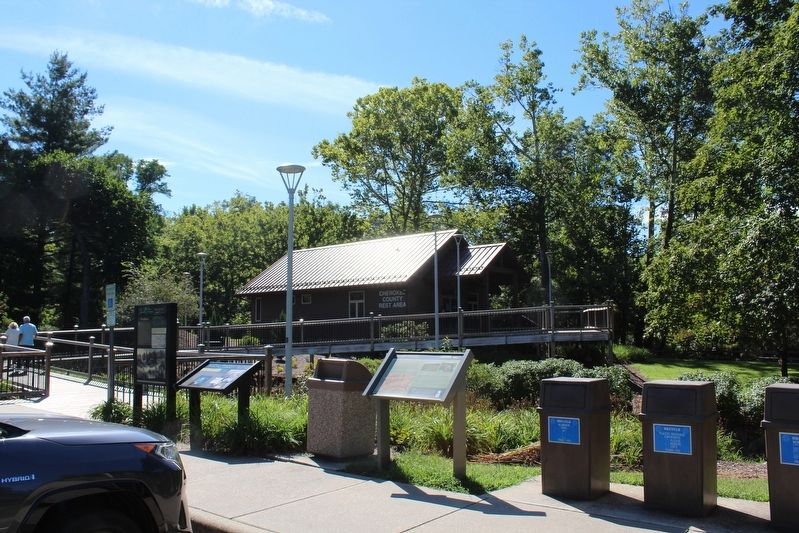
On U.S. 64 at County Highway 1544, on the right when traveling west on U.S. 64.
On Railroad Street west of Valley River Avenue (Business U.S. 19), on the left when traveling north.
On Main Street at Hiawasee Street, on the right when traveling north on Main Street.
On Main Street (U.S. 19).
On Tsali Boulevard (U.S. 441) at Drama Road, on the left when traveling north on Tsali Boulevard.
On Andrew Jackson Highway (U.S. 19/74) 0.1 miles north of Hewitts Road, on the right when traveling south.
Near South Keeler Drive, 0.3 miles south of East Willis Road (County Route D0790), on the left when traveling south.
On East Main Street (Oklahoma Route 9) east of SE 2nd Street, on the right when traveling east.
On W, Craig Rd (U.S. 70) 0.2 miles east of U.S. 259, on the left when traveling west.
Paid Advertisement
Near Nazih Zuhdi Drive west of North Laird Avenue.
Near Washington Street near Abernethy Road, on the right when traveling north.
Near Market Street NE north of Hiwassee Street (U.S. 11), on the left when traveling north.
Near Market Street NE north of Hiwassee Street (U.S. 11), on the left when traveling north.
On Market Street NE, 0.1 miles north of Hiwassee Street (U.S. 11), on the left when traveling north.
On Market Street NE, 0.1 miles north of Hiwassee Street (U.S. 11), on the left when traveling north.
On Market Street NE, 0.1 miles north of Hiwassee Street (U.S. 11), on the left when traveling north.
On Market Street NE, 0.1 miles north of Hiwassee Street (U.S. 11), on the left when traveling north.
On Market Street NE north of Hiwassee Street (U.S. 11), on the left when traveling north.
On Market Street NE north of Hiwassee Street (U.S. 11), on the left when traveling north.
On Market Street NE north of Hiwassee Street (U.S. 11), on the left when traveling north.
On Market Street NE, 0.1 miles north of Hiwassee Street (U.S. 11), on the left when traveling north.
Near Market Street NE north of Hiwassee Street (U.S. 11), on the left when traveling north.
Near Market Street NE north of Hiwassee Street (U.S. 11), on the left when traveling north.
On Market Street NE, 0.1 miles north of Hiwassee Street (U.S. 11), on the left when traveling north.
On Market Street NE, 0.1 miles north of Hiwassee Street (U.S. 11), on the left when traveling north.
Paid Advertisement
Near Hiwassee Street (U.S. 11) north of Market Street NE, on the right when traveling north.
Near Worth Street NE west of Market Street NE, on the left when traveling west.
Near Blythewood Road Southwest at Harris Creek Road Southwest, on the right when traveling north.
On Stadium Street near East College Street (U.S. 64).
On Stadium Street at South Rhodes Street on Stadium Street.
On Stadium Street near East College Street (U.S. 64).
On Stadium Street near East College Street.
On Stadium Street near East College Street.
On East College Street at S. Rhodes Street on East College Street.
On Main Street (U.S. 41) at Fairmont Avenue, on the right when traveling west on Main Street.
On Blythe Ferry Lane (County Road 131) 1.3 miles north of Blythe Ferry Road, on the right when traveling north.
On Blythe Ferry Lane (County Road 131) 1.3 miles north of Blythe Ferry Road, on the right when traveling north.
On Blythe Ferry Lane (County Route 131) 0.8 miles north of Blythe Ferry Road, on the left when traveling north.
Near Pineville Road at Manufacturers Road, on the right when traveling south.
Paid Advertisement
On Riverfront Parkway, on the left when traveling east.
On East Market Street (U.S. 64 at milepost 14.5), 0.2 miles east of E Margin Street, on the right when traveling west.
On David Crockett State Park Road.
On David Crockett State Park Road.
On Lawrenceburg Highway (U.S. 64) at Pulaski Highway (Tennessee Route 15), on the right when traveling west on Lawrenceburg Highway.
On Mississippi Valley Highway (U.S. 45) at Higginbottom Road, on the right when traveling south on Mississippi Valley Highway.
Near Blythe Ferry Road, 2 miles north of Hiwassee Highway (Tennessee Highway 60), on the right when traveling north.
Near Blythe Ferry Road, 2 miles north of Hiwassee Highway (Tennessee Highway 60), on the right when traveling north.
Near Blythe Ferry Road, 2 miles north of Hiwassee Highway (Route 60), on the right when traveling north.
Near Blythe Ferry Road, 2 miles north of Hiwassee Highway (Tennessee Highway 60), on the right when traveling north.
Near Blythe Ferry Road, 2 miles north of Hiwassee Highway (Tennessee Highway 60), on the right when traveling north.
Near Blythe Ferry Road, 2 miles north of Hiwassee Highway (Tennessee Highway 60), on the right when traveling north.
Near Blythe Ferry Road, 2 miles north of Hiwassee Highway (Tennessee Highway 60), on the right when traveling north.
Near Blythe Ferry Road, 2 miles north of Hiwassee Highway (Tennessee Highway 60), on the right when traveling north.
Paid Advertisement
Near Blythe Ferry Road, 2 miles north of Hiwassee Highway (Tennessee Highway 60), on the right when traveling north.
Near Blythe Ferry Road, 2 miles north of Hiwassee Highway (Tennessee Highway 60), on the right when traveling north.
Near Blythe Ferry Road, 2 miles north of Hiwassee Highway (Tennessee Highway 60), on the right when traveling north.
Near Blythe Ferry Road, 2 miles north of Hiwassee Highway (Tennessee Highway 60), on the right when traveling north.
Near Blythe Ferry Road, 2 miles north of Hiwassee Highway (Tennessee Highway 60), on the right when traveling north.
Near Blythe Ferry Road, 2 miles north of Hiwassee Highway (Tennessee Highway 60), on the right when traveling north.
Near Blythe Ferry Road, 2 miles north of Hiwassee Highway (Tennessee Highway 60), on the right when traveling north.
On Blythe Ferry Road, on the right when traveling north.
On Hiwassee Highway (State Highway 60) 5 miles south of Rhea County Highway (U.S. 27), on the right when traveling south.
On Hiwassee Highway (State Highway 60 at milepost 2), 4 miles north of Birchwood Pike (State Road 312), on the right when traveling north.
Near Blythe Ferry Road, 2 miles north of Hiwassee Highway, on the right when traveling north.
Near Blythe Ferry Road, 2 miles north of Hiwassee Highway (Tennessee Highway 60), on the right when traveling north.
Near Blythe Ferry Road, 2 miles north of Hiwassee Highway (Tennessee Highway 60), on the right when traveling north.
Near Blythe Ferry Road, 2 miles north of Hiwassee Highway (Tennessee Highway 60), on the right when traveling north.
Near Blythe Ferry Road, 2 miles north of Hiwassee Highway (Tennessee Highway 60), on the right when traveling north.
Near Blythe Ferry Road, 2 miles north of Hiwassee Highway (Tennessee Highway 60), on the right when traveling north.
Paid Advertisement
On Blythe Ferry Lane, on the left when traveling north. Reported missing.
On Market Street (Tennessee Route 27) at W. Delaware Avenue, on the right when traveling south on Market Street.
On Murfreesboro Highway (U.S. 41) at Red Mile Road, on the right when traveling north on Murfreesboro Highway.
Near 3501 Old Nashville Highway.
On West College Street east of Brinkley Avenue, on the right when traveling east.
On Agency House Road, 0.9 miles north of East Albert Street, on the left when traveling north.
190 entries matched your criteria. Entries 101 through 190 are listed above.
⊲ Previous 100