By Ralph Cahoon
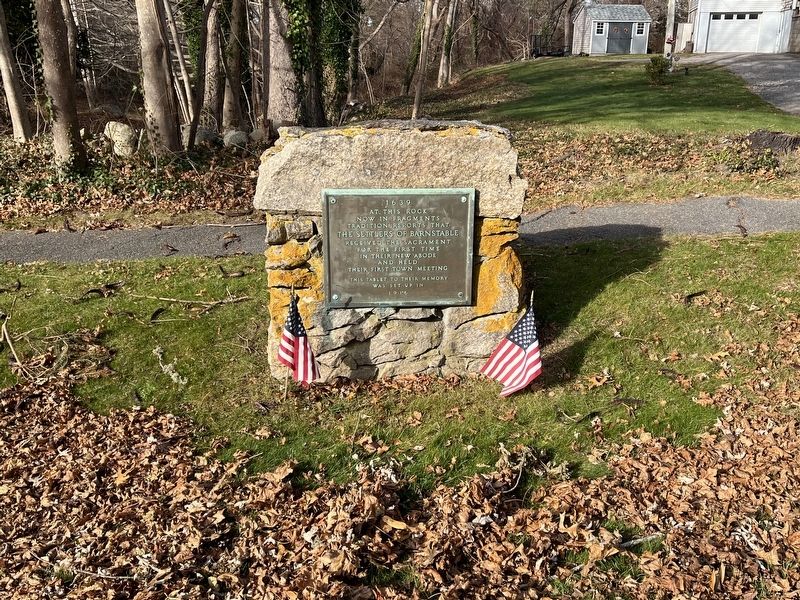
1639 At This Rock Now In Fragments Marker
GEOGRAPHIC SORT Title Sort Marker Number Sort Marker Number Sort N Marker Number Sort T Publication Order Sort Publication Order Sort A Erected Year Sort Most Viewed Sort Most Recent-Interest Sort Most Recently Changed Sort SEE FAQ #33 FOR DESCRIPTIONS
On Main St (Massachusetts Route Rt 6A), on the right when traveling west.
On Main St (Local Route 6A) 0.1 miles east of Hyannis - Barnstable Rd, on the right when traveling east.
On Main Street (Massachusetts Route 6A) east of Ryder Lane, on the left when traveling east.
On Main Street (Massachusetts Route 6A) west of Captain Murphys Way, on the right when traveling west.
On Main Street (Massachusetts Route 6A) east of Governors Way, on the right when traveling east.
On Main Street (Massachusetts Route 6A) at Rue Michelle, on the right when traveling west on Main Street.
On Main St (Massachusetts Route 6A) 0.1 miles east of Railroad Ave, on the right when traveling east.
On Main St (Massachusetts Route 6A), on the right when traveling west.
On Rendezvous Lane at Main Street (Massachusetts Route 6A), on the right when traveling north on Rendezvous Lane.
On Main Street (Massachusetts Route 6A) at Harris Meadow Lane, on the left when traveling west on Main Street.
On Main Street (Massachusetts Route 6A) at Governors Way, on the right when traveling west on Main Street.
Near Quaker Road, 0.1 miles north of Spring Hill Rd.
Near Main Street (Massachusetts Route 6A) at Rendezvous Lane, on the right when traveling north.
On Main St (Massachusetts Route 6A) 0.1 miles west of Crocker Lane, on the left when traveling east.
On Herring Pond Rd south of Bournedale Road (U.S. 6), on the right when traveling south.
Paid Advertisement
On Training Field Road, 0.2 miles north of Old Comers Road, on the right when traveling north.
On Main Street at Blackberry Lane, on the left when traveling north on Main Street.
On Main Street, on the right when traveling west.
On Orleans Road (Massachusetts Route 28) at Crows Pond Road, on the right when traveling east on Orleans Road.
On Main Street at Blackberry Lane, on the right when traveling west on Main Street.
On Nobscussett Rd at Whig St, on the left when traveling north on Nobscussett Rd.
On Massachusetts Route 6 at Hay Road on State Route 6.
On Samoset Road just west of Mid Cape Highway (U.S. 6), on the right when traveling west.
On State Highway (U.S. 6) at Somoset Rd, on the left when traveling south on State Highway.
Near Samoset Road. Reported missing.
On Samoset Road south of First Encounter Beach parking lot, on the right.
On Prospect Street (Massachusetts Route 149) at Popple Bottom Road, on the left when traveling north on Prospect Street.
On Main Street at South Orleans Road (Massachusetts Route 28), on the left when traveling west on Main Street.
On Bradford Street (Massachusetts Route 6A) at Rydaer Street, on the right when traveling north on Bradford Street.
On Bradford Street (Massachusetts Route 6A) at Ryder Street, on the right when traveling south on Bradford Street.
Paid Advertisement
On Province Lands Rd at Commercial St, on the left when traveling south on Province Lands Rd.
On Water St at Main St, on the left when traveling east on Water St.
On Tupper Road east of Wilson Road, on the right when traveling west.
On Corn Hill Road, 0.7 miles west of Castle Road, on the left when traveling north.
On Main St (Massachusetts Route 6A), on the right when traveling west.
On Meetinghouse Way (Massachusetts Route 149) at Cedar Street, on the left when traveling north on Meetinghouse Way.
On Main Street north of Highbank Road, on the left when traveling north.
On Main Street (U.S. 7) at Castle Street, on the left when traveling north on Main Street.
On State Road (Massachusetts Route 23) at East Street, on the right when traveling east on State Road.
On North Main Street (U.S. 7) at Church Street, on the right when traveling north on North Main Street.
On Main Street (Massachusetts Route 20) at Franklin Street, on the right when traveling north on Main Street.
On New Marlborough-Monterey Road north of Hartsville-New Marlborough Road (Massachusetts Route 57), on the left when traveling north.
On S. Main Street (Massachusetts Route 8) at Tolland Road (Massachusetts Route 57), on the left when traveling north on S. Main Street.
On N. Main Street (Massachusetts Route 8) at Sandisfield Road (Massachusetts Route 57), on the right when traveling south on N. Main Street.
On Cold Spring Road/New Ashford Road (U.S. 7) at Green River Road/Hancock Road (Massachusetts Route 43), on the left when traveling south on Cold Spring Road/New Ashford Road.
Paid Advertisement
On Main Street (Route 102) at Church Street, on the left when traveling west on Main Street.
On Main Street (U.S. 7), on the right when traveling east.
On Water Street (Massachusetts Route 43) at Latham Street, on the left when traveling north on Water Street.
On Main Street (U.S. 7) west of North Street, on the right when traveling west.
On Main Street (Massachusetts Route 2) at Colonial Avenue, on the right when traveling west on Main Street.
On South Street at Main Street (U.S. 7), on the left when traveling north on South Street.
On Main Street (U.S. 7) west of North Street, on the right when traveling west.
On Main Street (Massachusetts Route 2) east of Park Street, on the right when traveling east.
On N Main Street north of Elm Street, on the left when traveling north.
Near County Street (Massachusetts Route 123).
On Bay Road, 0.1 miles south of Prospect Street, on the right when traveling north.
On Fort Street, on the right when traveling south.
On North Water Street, on the right when traveling south.
On Centre Street at Front Street, on the left when traveling east on Centre Street.
On Draper Ave, on the left when traveling east.
Paid Advertisement
On Mt. Hope St, on the right when traveling west.
On North Washington Street.
On Bay Road close to Turkey Farm Road, on the right when traveling north.
On Stone Run Drive, in the median.
On Olympia Street, on the left when traveling north.
On West Main Street (Massachusetts Route 123) at Taunton Ave (U.S. 140), in the median on West Main Street.
On West Main Street (Massachusetts Route 123), on the right when traveling west.
On Bay Road close to Turkey Farm Road, on the right when traveling north.
On Bay Road, on the right when traveling north.
On South Main Street (Massachusetts Route 104) 0.1 miles north of King Philip Street, on the right when traveling north.
On Anawan St, on the right when traveling south.
On Anawan Street near Massachusetts Route 44, on the right when traveling south.
On U.S. 44, 2 miles east of U.S. 118, on the right when traveling east.
On Reservoir Avenue, on the left when traveling east.
On Williams Street, on the left when traveling east.
On Chestnut Street north of Brook Street, on the right when traveling north.
Paid Advertisement
On Tremont St, on the right when traveling west.
On Brook Street, on the left when traveling west.
On Brook Street east of School Street, on the right when traveling west.
On Danforth st near Perryville Rd.
On Bay State Road at Winthrop Street, on the right when traveling west on Bay State Road.
On Brook Street north of Pleasant Street, on the left when traveling south.
On Pleasant Street at Chestnut Street, on the right when traveling south on Pleasant Street.
On Market Street (Massachusetts Route 136) south of Stoney Hill Road, on the right when traveling south.
On Old Providence Road, on the left when traveling east.
On Old Providence Road at Barneyville Road, on the left when traveling east on Old Providence Road.
On Church Green, in the median.
On Broadway at Pleasant Street, on the right when traveling north on Broadway.
Near North Road. Reported missing.
On Edgartown-West Tisbury Road at Coffins Field Road, on the right when traveling east on Edgartown-West Tisbury Road.
On Main Street, on the right.
Paid Advertisement
Near Douglass Lane north of Mortimer Drive, on the left when traveling north.
On Cabot Street (Massachusetts Route 1A) at Balch Street, on the right when traveling south on Cabot Street.
On Cabot Street, on the right when traveling south.
On Hale Street when traveling west.
656 entries matched your criteria. The first 100 are listed above.
Next 100 ⊳