By Craig Doda, June 2, 2022
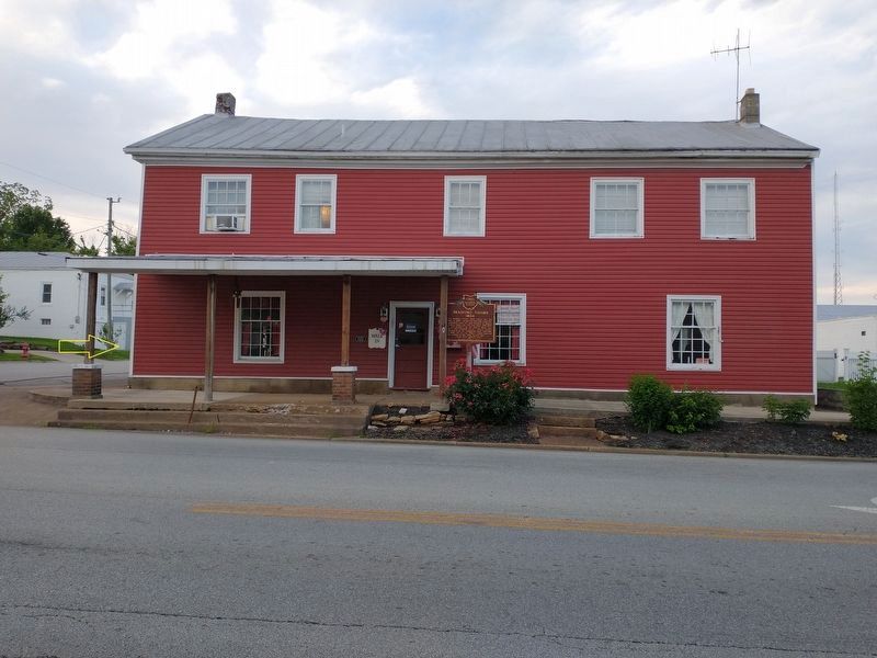
Olde Wayside Inn Marker
GEOGRAPHIC SORT Title Sort Marker Number Sort Marker Number Sort N Marker Number Sort T Publication Order Sort Publication Order Sort A Erected Year Sort Most Viewed Sort Most Recent-Interest Sort Most Recently Changed Sort SEE FAQ #33 FOR DESCRIPTIONS
On North Cherry Street at West Main Street (Ohio Route 125), on the right when traveling north on North Cherry Street.
On North Main Street north of Vine Street, on the left when traveling north.
On North Main Street (Route 66) just south of West 3rd Street (Ohio Route 697), on the left when traveling north.
Near 2nd Street at Main Street, on the left when traveling west.
On 2nd Street at Main Street, on the left when traveling west on 2nd Street.
On Main Street at North Street (Ohio Route 81), on the right when traveling south on Main Street.
On North Main Street at West Sugar Alley, on the left when traveling south on North Main Street.
Near South Shawnee Street.
On North Dixie Highway, 0.7 miles north of Ada Road (Route 81), on the right when traveling north.
On North Street, on the left when traveling east.
On North West Street (Ohio Route 68) at West Chapman Road, on the right when traveling south on North West Street.
On Elm Street, on the left when traveling east.
On Metcalf Street at Paul Street, on the right when traveling south on Metcalf Street.
Paid Advertisement
On East Market Street at Town Square, on the right when traveling east on East Market Street.
On Market Street, on the left when traveling east.
On North Broadway Street at East 3rd Street, on the left when traveling south on North Broadway Street.
On South Canal Street at West 1st Street, on the left when traveling south on South Canal Street.
On Ohio Route 66, 0.2 miles north of Deep Cut Road, on the right when traveling south.
On South Saint Marys Road (Ohio Route 66) 0.1 miles Deep Cut Road (County Road 226), on the right when traveling south.
On South Broadway Street (Ohio Route 66) at East 3rd Street, on the right when traveling south on South Broadway Street.
On South Broadway Street (Ohio Route 66) at East 3rd Street, on the right when traveling south on South Broadway Street.
On North Broadway Street (Ohio Route 66) at East 3rd Street, on the left when traveling north on North Broadway Street.
Near Miami-Erie Canal Walkway/Bike Path south of Zion Church Road, on the right when traveling south.
On Miami-Erie Canal Walkway/Bike Path south of Zion Church Road, on the right when traveling south.
On Farm to Market Road 250 near Ohio Route 89.
On Mechanic Street (Ohio Route 60) at Main Street (Ohio Route 179), on the left when traveling south on Mechanic Street.
On East Main Street at South Pleasant Street on East Main Street.
Near Ohio 3, on the right when traveling north.
Near Ohio 3, on the right when traveling north.
Paid Advertisement
Near Ohio 3, on the right when traveling north.
Near Ohio 3, on the right when traveling north.
On Ohio 3, on the right when traveling north.
On Bridge Street (Ohio Route 531) at Goodwill Drive, on the right when traveling west on Bridge Street.
On Bridge Street (Ohio Route 531) west of Goodwill Drive, on the right when traveling west.
On Bridge Street (Ohio Route 531) west of Goodwill Drive, on the right when traveling west.
On Goodwill Drive at Bridge Street (Ohio Route 531), on the right when traveling south on Goodwill Drive.
On Bridge Street (Ohio Route 531) west of Goodwill Drive, on the right when traveling west.
On Bridge Street (Ohio Route 531) west of Goodwill Drive, on the right when traveling east.
On West Bridge Street (Ohio Route 531) west of Goodwill Drive, on the right when traveling east.
On Bridge Street (Ohio Route 531) west of Goodwill Drive, on the right when traveling east.
On Bridge Street (Ohio Route 531) east of Hulbert Avenue, on the right when traveling west.
On Bridge Street (Ohio Route 531) west of Goodwill Drive, on the right when traveling east.
On Bridge Street (Ohio Route 531) west of Goodwill Drive, on the right when traveling east.
On Bridge Street (Ohio Route 531) west of Goodwill Drive, on the right when traveling east.
On Bridge Street (Ohio Route 531) east of Hulbert Avenue, on the right when traveling west.
Paid Advertisement
On Bridge Street (Ohio Route 531) west of Goodwill Drive, on the right when traveling east.
On Bridge Street (Ohio Route 531) east of Hulbert Avenue, on the right when traveling west.
On Bridge Street (Ohio Route 531) east of Hulbert Avenue, on the right when traveling west.
On Bridge Street (Ohio Route 531) west of Goodwill Drive, on the right when traveling east.
On Bridge Street east of Hulbert Avenue, on the right when traveling west.
On Bridge Street (Ohio Route 531) east of Hulbert Avenue, on the right when traveling east.
On Bridge Street (Ohio Route 531) east of Hulbert Avenue, on the right when traveling east.
On Bridge Street (Ohio Route 531) east of Hulbert Avenue, on the right when traveling west.
On Bridge Street east of Hulbert Avenue, on the right when traveling west.
On Bridge Street (Ohio Route 531) west of Hulbert Avenue, on the right when traveling east.
On Bridge Street (Ohio Route 531) east of Hulbert Avenue, on the right when traveling east.
On Bridge Street (Ohio Route 531) west of Hulbert Avenue, on the right when traveling east.
On Bridge Street (Ohio Route 531) west of Hulbert Avenue, on the right when traveling west.
On Bridge Street (Ohio Route 531) west of Hulbert Avenue, on the right when traveling east.
On Bridge Street (Ohio Route 531) west of Hulbert Avenue, on the right when traveling west.
On Bridge Street (Ohio Route 531) west of Hulbert Avenue, on the right when traveling west.
Paid Advertisement
On Bridge Street (Ohio Route 531), on the right when traveling west.
On Bridge Street (Ohio Route 531) west of Hulbert Avenue, on the right when traveling west.
On Bridge Street (Ohio Route 531) at Morton Drive, on the right when traveling west on Bridge Street.
Near Depot Street at Sandusky Street, on the left when traveling east.
On Monroe Center Road (County Road 40) east of State Road, on the right when traveling east.
On Mill Road west of Welton Road, on the right when traveling west.
Near Lake Road East (Ohio Route 531) 0.1 miles east of Jolly Drive.
Near Lake Road East (Ohio Route 531) at South Spencer Drive.
On U.S. 20, 0.1 miles west of North Eagle Street, on the right when traveling west.
On U.S. 322 west of Ohio Route 193, on the right when traveling east.
On Ohio Route 550 south of Jago Valley Road (County Road 478), on the right when traveling east.
On State Street (Ohio Route 550), on the left when traveling east on State Street.
On North Court Street north of Washington Street, on the right when traveling north.
Near West Union Street (Ohio Route 56) east of Hospital Drive, on the left when traveling east.
On Union Street at Court Street, on the right when traveling east on Union Street.
On High Street (Ohio Route 13), on the right when traveling south.
Paid Advertisement
On Millfield-Jacksonville Road (County Route 27), on the right when traveling east.
On Main Street (County Route 93), on the right when traveling south.
On West Washington Street at Fort Street, on the left when traveling east on West Washington Street.
On Hocking Parkway near West Canal Street (U.S. 33), on the right when traveling south.
On Fort Street, 0 miles south of East Washington Street, in the median.
On Main Street at the CSX railroad tracks, on the left when traveling west on Main Street.
On East Main Street, on the right when traveling east.
On West 4th Street west of North Frankfort Street, on the right when traveling west.
On West 4th Street west of North Frankfurt Street, on the right when traveling west.
On West 4th Street west of North Hanover Street, on the right when traveling west.
On West 4th Street west of North Frankfort Street, on the right when traveling west.
On West 4th Street, on the right when traveling east.
On West 4th Street, on the left when traveling east.
On West 4th Street, on the right when traveling east.
On West 4th Street, on the left when traveling east.
On Moulton- New Knoxville Road (County Route 91) at Co Rd 33A Plank Pike (County Route 33A), on the left when traveling south on Moulton- New Knoxville Road.
Paid Advertisement
On West Monroe Street, on the left when traveling east.
On East Monroe Street (Ohio Route 274) at North Washington Street (Ohio Route 66), on the right when traveling west on East Monroe Street.
On South Washington Street (Ohio Route 66) at East Front Street, on the right when traveling north on South Washington Street.
On North Washington Street (Ohio Route 66) at East Monroe Street (Ohio Route 274), on the right when traveling north on North Washington Street.
Near East Front Street, 0 miles west of Washington Street (Ohio Route 66).
1393 entries matched your criteria. The first 100 are listed above.
Next 100 ⊳