By Duane and Tracy Marsteller, May 21, 2023
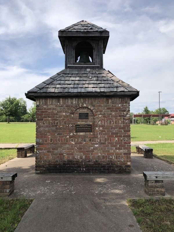
Memorial to the Old Pea Ridge College and Gym Marker
| On East Pickens Road (Arkansas Route 72) east of North Curtis Avenue, on the left when traveling east. |
| On Poplar Street at 2nd Street, on the right when traveling east on Poplar Street. |
| On South 1st Street north of West Elm Street, on the right when traveling north. |
| On East Rush Avenue at North Main Street (Business U.S. 65), on the left when traveling east on East Rush Avenue. |
| On South 3rd Street at Main Street, on the left when traveling south on South 3rd Street. |
| On North Currie Street east of Currie Avenue, on the left when traveling east. |
| On Military Road east of Cypress Drive, on the right when traveling east. |
| On East Broadway Boulevard (U.S. 70) at South 2nd Street, on the right when traveling east on East Broadway Boulevard. |
| On Locust Avenue at Scott Street, on the right when traveling south on Locust Avenue. |
| Near Harkrider Street (Business U.S. 65) at Markham Street, on the right when traveling south. |
| Near U.S. 63 at Main Street (State Route 9), on the right when traveling north. |
| On West Division Street at South Main Street, on the right when traveling west on West Division Street. |
| On East Division Street at South Main Street, on the right when traveling west on East Division Street. |
| On Franklin Street east of Arkansas Highway 278, on the left when traveling west. |
| On Broad Street at East Main Street, on the right when traveling south on Broad Street. |
| On Arkansas Route 932 at Main Street (Arkansas Route 14), on the left when traveling north on State Route 932. |
| On West Main Street (U.S. 64) at Central Street, on the right when traveling east on West Main Street. |
| On County Road 6035, 0.2 miles east of County Highway 637, on the left when traveling east. |
| On North Ash Street at East Johnson Avenue, on the right when traveling south on North Ash Street. |
| On North Poplar Avenue at West Hale Avenue, on the right when traveling north on North Poplar Avenue. |
| On West Cypress Street (U.S. 70) 0.1 miles east of North New Orleans Avenue, on the right when traveling west. |
| On 2nd Street at East Ash Street, on the left when traveling north on 2nd Street. |
| On East Ash Street at 2nd Street, on the right when traveling east on East Ash Street. |
| On West Main Street (U.S. 64) at South Denver Avenue, on the right when traveling east on West Main Street. |
| On Radio Drive at U.S. 62, on the left when traveling west on Radio Drive. |
| On Rogers Avenue at South 4th Street, on the right when traveling south on Rogers Avenue. |
| On South Izard Street south of Court Avenue, on the left when traveling south. |
| On Mount Holly Highway (Arkansas Route 160) 0.4 miles east of Stephens Highway (Arkansas Route 57), on the right when traveling east. |
| On College Avenue (U.S. 71) at Center Street, on the right when traveling north on College Avenue. |
| On North Campus Walk north of West Dickson Street, on the left when traveling west. |
| On East Douglas Street (Business U.S. 62) at Parker Street, on the right when traveling east on East Douglas Street. |
| On East Buchanan Street (Business U.S. 62) at North Neal Street, on the right when traveling west on East Buchanan Street. |
| On Old Wire Road (State Highway 265) south of Dodd Avenue, on the right when traveling north. |
| On Santa Clara Avenue at Park Street, on the right when traveling north on Santa Clara Avenue. |
| On Delaware Street east of 6th Street, on the right when traveling east. |
| On Bancroft Way at Telegraph Avenue, on the left when traveling west on Bancroft Way. |
| On Niles Boulevard, on the right when traveling east. |
| On Nevada Street west of Bernal Avenue, on the left when traveling west. |
| On Nevada Street, on the left when traveling west. |
| On Main Street at Division Street, on the left when traveling north on Main Street. |
| On Carson Pass Scenic Byway (State Highway 88), on the right when traveling east. |
| On Diamond Valley Road, 3 miles east of California Highway 89, on the right when traveling west. |
| On Diamond Valley Road, 3 miles east of California Highway 89, on the right when traveling west. |
| On Old Pony Express Way (California Route 88) east of California Route 89, on the right when traveling east. |
| On Old Pony Express Way (California Route 88) east of California Route 89, on the left when traveling east. |
| On State Highway 88 east of Wicklow Way, on the right when traveling east. |
| On South Main Street (State Highway 49), on the right when traveling north. |
| On State Highway 49, 3.7 miles south of State Highway 4, on the left when traveling south. |
| On Main Street, on the right when traveling north. |
| Near Danville Boulevard near Stone Valley Road, on the right when traveling south. |
| On Center Street west of Marsh Creek Road, on the right when traveling east. |
| Near Povda Road at San Ramon Valley Boulevard, on the right when traveling south. |
| On San Pablo Avenue near Fairmont Avenue, on the left when traveling north. |
| On San Pablo Dam Road near Pitt Way, on the left when traveling east. |
| Near Moraga Road at Mout Diablo Boulevard. |
| On Mt. Diablo Boulevard at Morago Road, on the right when traveling east on Mt. Diablo Boulevard. |
| On Ferry Street at Ward Street, on the left when traveling north on Ferry Street. |
| On Main Street at Ferry Street, on the right when traveling east on Main Street. |
| On Ferry Street near Marina Vista Avenue, on the left when traveling north. |
| On Vlader Drive at Country Club Drive on Vlader Drive. |
| Near Camino Pablo west of Brookwood Road, on the right when traveling north. |
| Near Santa Maria Way north of Altarinda Road when traveling north. |
| Near Camino Pablo at Brookwood Road. |
| On Railroad Avenue north of East 6th Street, on the right when traveling north. |
| Near Walnut Boulevard east of Homestead Avenue. |
| On North Main Street near Cypress Street, on the left when traveling south. |
| On Cypress Street at North Main Street, on the right when traveling east on Cypress Street. |
| Near Summit Road, 11 miles north of Blackhawk Road, on the right when traveling north. |
| On South Pebble Beach Drive south of West 9th Street, on the right when traveling south. |
| On Coloma Road (California Route 49) south of Mt Murphy Road, on the right when traveling south. |
| On Coloma Road (California Route 49) at Mt Murphy Road, on the right when traveling north on Coloma Road. |
| On Mt Murphy Road at Levee Trail, on the left when traveling east on Mt Murphy Road. |
| On State Highway 49, on the left when traveling south. Reported permanently removed. |
| On Coloma Road (California Route 49 at milepost 2) south of Brewery Street, on the right when traveling north. |
| On Pleasant Valley Road, on the right when traveling east. |
| On Lincoln Highway (U.S. 50) west of Apache Avenue, on the left when traveling west. |
| On Lincoln Highway (U.S. 50) west of Apache Avenue, on the left when traveling west. |
| On US Highway 50 (U.S. 50) west of Pioneer Trail, on the left when traveling west. |
| On Main Street at Sacramento Street, on the right when traveling east on Main Street. |
| On Main Street at Stage Coach Alley, on the right when traveling west on Main Street. |
| On Sacramento Street at Main Street, on the right when traveling north on Sacramento Street. |
| On Main Street at Sacramento Street, on the right when traveling east on Main Street. |
| On Pony Express Trail east of Exit 57 (U.S. 50), on the right when traveling east. |
| On Pony Express Trail east of Exit 57 (U.S. 50), on the right when traveling east. |
| On Pony Express Trail (Lincoln Highway) at Forebay Road, on the right when traveling east on Pony Express Trail (Lincoln Highway). Reported missing. |
| On Durock Road south of U.S. 50, on the right when traveling west. |
| On 2nd Street near G Street. |
| On F Street at 6th Street, on the right when traveling south on F Street. |
| On 2nd Street east of G Street, on the right when traveling east. |
| On 5th Street near Van Ness Avenue, on the left when traveling south. |
| On Ocean Avenue at Francis Street on Ocean Avenue. |
| On Lower Pacific Drive, on the left when traveling west. |
| On Lighthouse Road near Bay Street. |
| On North 8th Street at Broadway Street, on the right when traveling north on North 8th Street. |
4147 entries matched your criteria. Entries 101 through 200 are listed above.
⊲ Previous 100 —
Next 100 ⊳