By Craig Baker
Valmy Marker
GEOGRAPHIC SORT Title Sort Marker Number Sort Marker Number Sort N Marker Number Sort T Publication Order Sort Publication Order Sort A Erected Year Sort Most Viewed Sort Most Recent-Interest Sort Most Recently Changed Sort SEE FAQ #33 FOR DESCRIPTIONS
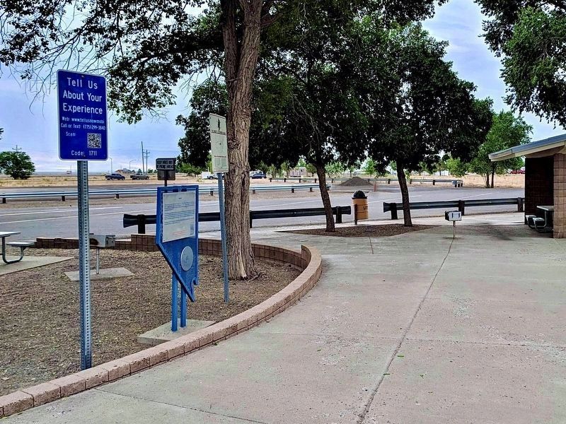
On the rest area at Exit 216 (Interstate 80), on the right when traveling east.
Near Interstate 80 at milepost 187, on the right when traveling west.
Near Interstate 80 at milepost 187, on the right when traveling west.
Near Interstate 80 at milepost 187, on the right when traveling west.
Near West Winnemucca Boulevard, 173 miles Interstate 80.
On Melarkey Street (U.S. 95) at W. Winnemucca Boulevard (Nevada Route 289), on the right when traveling north on Melarkey Street.
On Museum Avenue near Maple Avenue, on the left when traveling west.
On Museum Avenue near Maple Avenue, on the left when traveling west.
On Melarkey Street (U.S. 95) 0.1 miles south of W. National Avenue, on the left when traveling north.
On Museum Avenue near Maple Avenue, on the left when traveling west.
On Museum Avenue near Maple Avenue, on the left when traveling west.
On Highway 50, on the right when traveling east.
On Highway 50 at 7th Street, on the left when traveling east on Highway 50.
On Main Street, on the right when traveling north.
On U.S. 50 at milepost 17.5, on the right when traveling west.
Paid Advertisement
On Water Street at Reese Street, on the left when traveling east on Water Street.
On Virginia Street at Court Street, on the right when traveling north on Virginia Street.
On E. Front St (Nevada Route 304) west of N. Reese St, on the right when traveling west.
On Front Street at McKinley Street, on the right when traveling north on Front Street.
On U.S. 93 at milepost 8.5 at the dirt road to Delamar, on the right when traveling north on U.S. 93.
On Nevada Route 318 at milepost 5, on the left when traveling north.
On U.S. 93 at milepost 109, on the left when traveling north.
On Highway 319, on the right when traveling east.
On 5th Street at C Street, on the left when traveling north on 5th Street.
On 4th Street, on the left when traveling north.
On Lacour Street north of Pioche Street, on the left when traveling north.
On Main Street (Nevada Route 321) 2.4 miles west of U.S. 93, on the left when traveling west.
On Main Street at Cedar Street, on the right when traveling south on Main Street.
On U.S. 50 near Main Street, on the right when traveling north.
On Main Street at Dayton Valley Road, on the right when traveling north on Main Street.
On Main Street at Dayton Valley Road, on the right when traveling north on Main Street.
Paid Advertisement
On Shady Lane at Logan Alley, on the right when traveling south on Shady Lane.
On Main Street at Cemetery Road, on the right when traveling west on Main Street.
On Lincoln Highway (U.S. 50) south of 4th Avenue, on the right when traveling south.
On Lincoln Highway (U.S. 50) at Segale Road, on the right when traveling west on Lincoln Highway.
On Main Street just west of Lincoln Highway (U.S. 50), on the right when traveling west.
On Main Street just west of Lincoln Highway (U.S. 50), on the right when traveling west.
On E Main Street, on the left when traveling west.
On Moonlight Road, on the left.
On Main Street (Nevada Route 342), on the left when traveling north.
On Main Street (Nevada Route 342) near Roses Road, on the left when traveling north.
On Occidental Grade (State Highway 341) at Old Dayton Toll Road on Occidental Grade.
On U.S. 95A, on the right when traveling north.
On Nevada Route 208 near Hoye Canyon Road, on the left when traveling south.
On Nevada Route 208 at Wellington Cutoff (Nevada Route 829), on the right when traveling east on State Route 208.
On Lux Lane, on the right when traveling west.
Paid Advertisement
On Nevada Route 208 just north of Copperbelt Drive.
On National Forest Development Road 26, 0.5 miles National Forest Development Road 28, on the left.
On 10th Street, on the right when traveling west.
Near Veterans Memorial Highway (U.S. 95), on the right when traveling north.
On Highway 360, on the left when traveling south.
On Candelaria Road at Veterans Memorial Highway (U.S. 95), on the right when traveling west on Candelaria Road.
On U.S. 95 north of County Route 360, on the right when traveling north.
On U.S. 95 at Cottonwood Lane, on the left on U.S. 95.
Near Longstreet Road, 3.5 miles north of Spring Meadows Road, on the left when traveling north.
Near Nevada 373, 7.5 miles north of Death Valley Junction, on the left when traveling north.
Near Cedar Street, 0.1 miles west of Main Street (Nevada Route 82), on the left when traveling west. Reported missing.
Near Berlin Ichthyosaur State Park Road, 2 miles south of Route 844, on the right when traveling east.
Near Berlin Ichthyosaur State Park Road, 2 miles south of Route 844, on the right when traveling east.
Near Berlin Ichthyosaur State Park Road, 2 miles south of Nevada Route 844, on the left when traveling south.
Paid Advertisement
Near Berlin Ichthyosaur State Park Road, 2 miles south of Route 844, on the right when traveling south.
Near Berlin Ichthyosaur State Park Road, 2 miles south of Route 844, on the left when traveling east.
Near Berlin Ichthyosaur State Park Road, 2 miles south of Nevada Route 844, on the right when traveling east.
Near Berlin Ichthyosaur State Park Road, 2 miles south of Nevada Route 844, on the right when traveling east.
Near Berlin Ichthyosaur State Park Road, 2 miles south of Nevada Route 844, on the left when traveling south.
Near Berlin Ichthyosaur State Park Road, 2 miles Route 844, on the left when traveling south.
Near Berlin Ichthyosaur State Park Road, 2 miles Route 844, on the right when traveling east.
On Nevada Route 376, 0.7 miles north of Jefferson Drive, on the left when traveling north.
On Highway 376 at NF-017 (Dirt Road), on the left when traveling north on Highway 376.
On Main Street (Route 82) at Belmont Street, on the left when traveling north on Main Street.
On Highway 376 at Highway 377, on the left when traveling north on Highway 376.
On U.S. 95, on the right when traveling west.
Near 3rd Street east of East Street, on the left when traveling east.
On Rhyolite Road, 0.8 miles north of Nevada Route 374, on the left when traveling north.
On Rhyolite Road, 1.8 miles north of Nevada Route 374, on the left when traveling north.
Paid Advertisement
On Titus Canyon Road just west of Nevada Route 374, on the left when traveling west.
On Rhyolite Road, 1.4 miles north of Nevada Route 374, on the right when traveling north.
Near Rhyolite Road, 1.4 miles north of Nevada Route 374, on the right when traveling north.
On Rhyolite Road, 1.5 miles north of Nevada Route 374, on the left when traveling north.
On U.S. 376, on the left when traveling north.
On Burro Avenue, on the left when traveling east.
Near Burro Avenue south of Oddie Avenue, on the right when traveling south.
On Burro Avenue, on the right when traveling east.
Near U.S. 95, on the left when traveling west.
On Burro Avenue, on the right when traveling east.
On Main Street, AKA Veterans Memorial Highway (Route 95) at Oddie Avenue, on the left when traveling north on Main Street, AKA Veterans Memorial Highway.
On Burro Avenue, on the left when traveling east.
Paid Advertisement
On Erie Street (U.S. 95) at Florence Avenue, on the right on Erie Street.
On U.S. 6, on the right when traveling north.
On Burro Avenue, on the right when traveling east.
Near U.S. 95, on the left when traveling west.
366 entries matched your criteria. Entries 201 through 300 are listed above.
⊲ Previous 100 —
The final 66 ⊳