By J. J. Prats, September 9, 2017
L’Ouverture Hospital Marker
GEOGRAPHIC SORT Title Sort Marker Number Sort Marker Number Sort N Marker Number Sort T Publication Order Sort Publication Order Sort A Erected Year Sort Most Viewed Sort Most Recent-Interest Sort Most Recently Changed Sort SEE FAQ #33 FOR DESCRIPTIONS
On Prince Street east of South West Street, on the right when traveling east.
On South Payne Street south of Prince Street, on the right when traveling south.
On Duke Street (Virginia Route 236) at South West Street, on the right when traveling west on Duke Street.
On South Washington Street (Virginia Route 400) north of Capital Beltway Inner Loop (Interstate 95), on the left when traveling north.
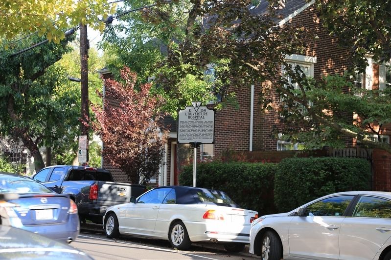
On Callahan Drive at King Street (Virginia Route 7), on the right when traveling north on Callahan Drive. Reported permanently removed.
Near Callahan Drive at King Street (Virginia Route 7), on the right when traveling north.
On Roberts Lane, 0.3 miles north of Duke Street (Virginia Route 236), on the left when traveling north.
On Upland Place west of Hilltop Terrace, on the right when traveling west. Reported damaged.
Near Francis Hammond Parkway just south of Maple Hill Place, on the right when traveling south.
Near Callahan Drive near King Street (Virginia Route 7).
On Mall Road, 0.2 miles east of Horse Mountain View (Virginia Route 648), on the left when traveling east.
On Longdale Furnace Road (Virginia Route 269) at Collierstown Road (Virginia Route 770), on the right when traveling west on Longdale Furnace Road.
On Longdale Furnace Road (Virginia Route 269) at Collierstown Road (Virginia Route 770), on the right when traveling west on Longdale Furnace Road.
On Longdale Furnace Road (Virginia Route 269) at Iron Ore Lane, on the right when traveling west on Longdale Furnace Road.
On Selma Low Moor Road (Virginia Route 696) 0.2 miles west of Oakland Drive, on the right when traveling west.
Paid Advertisement
On Selma Low Moor Road (Virginia Route 696) 0.2 miles west of Oakland Drive (Virginia Route 1002), on the right when traveling west.
Near Selma Low Moor Road (Virginia Route 696) 0.2 miles west of Oakland Drive (Virginia Route 1002), on the right when traveling west.
Near Selma Low Moor Road (Virginia Route 696) 0.2 miles west of Oakland Drive (Virginia Route 1002), on the right when traveling west.
Near Selma Low Moor Road (Virginia Route 696) 0.2 miles west of Oakland Drive (Virginia Route 1002), on the right when traveling west.
On Virginia Street at Court Street, on the right when traveling north on Virginia Street. Reported permanently removed.
On Virginia Street at Court Street (Virginia Route 38/1007), on the right when traveling north on Virginia Street.
On Court Street (Virginia Route 38/1007) at Virginia Street (Virginia Route 1009), on the right when traveling east on Court Street.
On Grubb Hill Church Road (Virginia Route 609) 0.4 miles north of Ruffin Lane (Virginia Route 716), on the right when traveling north. Reported permanently removed.
Near Grub Hill Church Road (Virginia Route 609) 0.4 miles north of Ruffin Lane (Virginia Route 716), on the right when traveling north.
Near Washington Street at Court Street.
On Goodes Bridge Road (Business U.S. 360) 0.1 miles east of Jefferson Street, on the right when traveling east.
On Virginia Street at Church Street, on the right when traveling south on Virginia Street. Reported permanently removed.
On East Sayler's Creek Road (Virginia Route 617) west of South Genito Road (Virginia Route 616), on the right when traveling west.
On East Sayler's Creek Road (Virginia Route 617) east of South Genito Road (Virginia Route 616), on the right when traveling west.
On Amelia Springs Road (Virginia Route 642) 0.2 miles south of St. James Road, on the right when traveling north.
On Amelia Springs Road (Virginia Route 642) 0.2 miles south of St. James Road, on the right when traveling north.
Paid Advertisement
On Saylers Creek Road (County Route 617) 0.9 miles south of James Town Road (County Route 618), on the right when traveling north.
Near Saylers Creek Road (Virginia Route 617), on the left when traveling south.
On Saylers Creek Road (Virginia Route 617) at James Town Road (County Route 618), on the left when traveling south on Saylers Creek Road.
On Sayler's Creek Road (Virginia Route 617) at James Town Road (Virginia Route 618), on the left when traveling west on Sayler's Creek Road.
On Jetersville Road at Amelia Springs Road, on the right when traveling west on Jetersville Road.
On Patrick Henry Highway (U.S. 360) west of Mt. Zion Road (County Route 639), on the right when traveling west.
On Patrick Henry Highway (U.S. 360) west of Mt Zion Road (County Route 639), on the right when traveling west.
On Patrick Henry Highway (U.S. 360) at Amelia Springs Road (County Route 642), on the right when traveling west on Patrick Henry Highway.
On Patrick Henry Highway (U.S. 360) at Amelia Springs Road (Route 642), on the right when traveling west on Patrick Henry Highway.
On Patrick Henry Highway (U.S. 360) at Amelia Springs Road (County Route 642), on the right when traveling west on Patrick Henry Highway.
On Saylers Creek Road (County Route 617) 1 mile south of James Town Road (County Route 618), on the right when traveling east.
On Saylers Creek Road (Virginia Route 617) at James Town Road (County Route 618), on the left when traveling south on Saylers Creek Road.
On Namozine Road (Virginia Route 708) at Mill Quarter Road (Virginia Route 622), on the left when traveling north on Namozine Road.
On Mill Quarter Road (County Route 622) at Namozine Road (Route 708), on the left when traveling north on Mill Quarter Road.
On Mill Quarter Road (County Route 622) at Namozine Road (County Route 708), on the left when traveling north on Mill Quarter Road.
Near Saylers Creek Road (Virginia Route 617) 0.6 miles north of Scuffletown Road (Virginia Route 620), on the right when traveling north.
Paid Advertisement
Near Saylers Creek Road (Virginia Route 617) 0.6 miles north of Scuffletown Road (Virginia Route 620), on the right when traveling north.
Near Saylers Creek Road (Virginia Route 617) 0.6 miles north of Scuffletown Road (Virginia Route 620), on the right when traveling north.
Near Saylers Creek Road (Virginia Route 617) 0.6 miles north of Scuffletown Road (Virginia Route 620), on the left when traveling north.
On North Amherst Highway (U.S. 29) south of Ty River Road, on the right when traveling north.
Near East Court Street at Goodwin Street when traveling east.
On Riverview Road (County Route 672) east of U.S. 29, on the left.
On Colony Road (Virginia Route 210) near South Amherst Highway (Virginia Route 163), on the left when traveling east. Reported damaged.
On Old Courthouse Road (Virginia Route 24), on the left when traveling west.
On Richmond-Lynchburg Stage Road, on the right when traveling east.
On Old Courthouse Road (Virginia Route 24), on the right when traveling west.
On Old Courthouse Road (Virginia Route 24), on the right when traveling west.
On National Park Drive, 0.2 miles north of Old Courthouse Road (Virginia Route 24), on the left when traveling north.
Near Old Courthouse Road (Virginia Route 24), on the left when traveling west.
On Appomattox Court House NHP entrance road, on the right when traveling north.
Near Old Courthouse Road (Virginia Route 24) at Gordon Avenue, on the right when traveling west.
On North Court Street (Virginia Route 131) at Morton Lane, on the right when traveling south on North Court Street.
Paid Advertisement
On North Court Street (State Highway 131) at Morton Lane, on the right when traveling north on North Court Street.
On National Park Drive (State Highway 24), on the right when traveling north.
On Court Street (Virginia Route 131) at Morton Lane, on the right when traveling south on Court Street.
On Old Courthouse Road (Virginia Route 24), on the right when traveling west.
Near Old Courthouse Road (Virginia Route 24), on the right when traveling west.
Near Old Courthouse Road (Virginia Route 24) 0.2 miles south of Joel Sweeney Lane (Virginia Route 710), on the right when traveling west.
Near Old Courthouse Road (Virginia Route 24) south of Joel Sweeney Lane (Virginia Route 710), on the right when traveling west.
On Main Street, on the right when traveling east.
On State Highway 24, on the right when traveling east.
On Main Street (Virginia Route 131), on the right.
On Main Street (Virginia Route 131) at Church Street, on the right when traveling east on Main Street.
Near National Park Drive (State Highway 24), on the right when traveling west.
Near Jamerson Lane (Virginia Route 1014) at Jones Street (Route 1012).
On Old Courthouse Road (Virginia Route 24), on the right when traveling west.
On Old Courthouse Road (Virginia Route 24), on the left when traveling west.
Paid Advertisement
Near Jamerson Lane (Virginia Route 1014) at Jones Street (Virginia Route 1012).
On Old Courthouse Road. Reported permanently removed.
On George Peers Drive (State Highway 24), on the right when traveling west.
Near Richmond-Lynchburg Stage Road north of Old Courthouse Road (Virginia Route 24), on the right when traveling west.
On Richmond-Lynchburg Stage Road, on the left when traveling east.
On Old Courthouse Road (Virginia Route 24), on the left when traveling west.
Near Old Courthouse Road (Virginia Route 24), on the right when traveling west.
On Price Edward Court House Road at Richmond-Lynchburg Stage Road, on the right when traveling north on Price Edward Court House Road.
On Richmond-Lynchburg Stage Road, on the left when traveling east.
On Old Courthouse Road (Virginia Route 24), on the left when traveling west.
On Old Courthouse Road (State Highway 24), on the right when traveling east.
On Richmond-Lynchburg Stage Road, on the left when traveling west.
On Old Courthouse Road (Virginia Route 24), on the right when traveling west.
Near Richmond-Lynchburg Stage Road north of Old Courthouse Road (Virginia Route 24), on the right when traveling west.
Near Old Courthouse Road (Virginia Route 24) west of Gordon Drive, on the left when traveling west.
On Old Courthouse Road (State Highway 24), on the right when traveling west.
Paid Advertisement
On Old Courthouse Road (Virginia Route 24), on the left when traveling west.
On Old Courthouse Road (Virginia Route 24), on the left when traveling west.
Near Oakville Road (Virginia Route 26) north of Richmond Highway (U.S. 460), on the right when traveling south.
Near Oakville Road (Virginia Route 26) north of Richmond Highway (U.S. 460), on the right when traveling south.
On Old Courthouse Road (State Highway 24), on the right when traveling east.
4594 entries matched your criteria. Entries 101 through 200 are listed above.
⊲ Previous 100 —
Next 100 ⊳