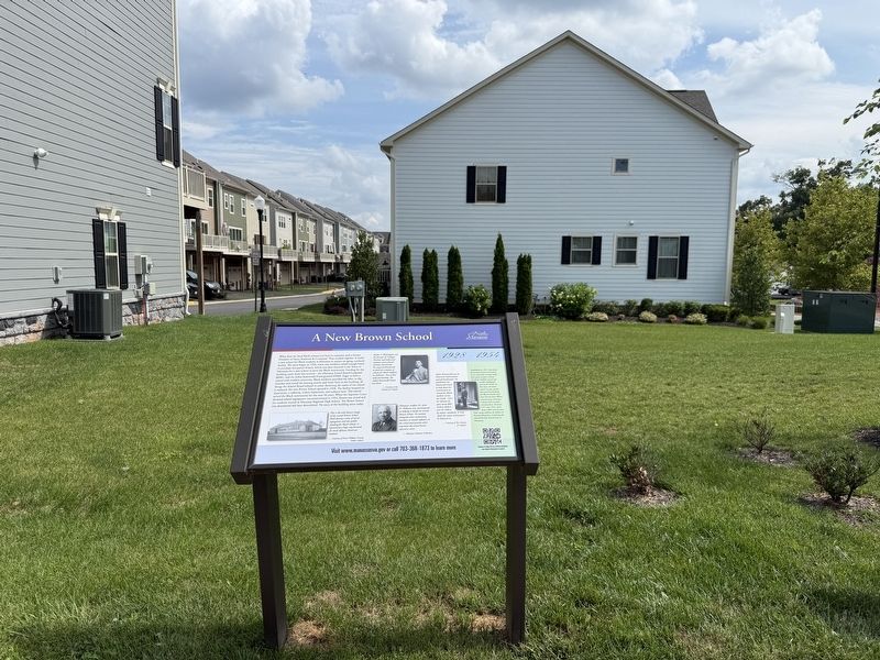
By Devry Becker Jones (CC0), July 11, 2026
A New Brown School Marker
| On Prince William Street east of Jefferson Street, on the right when traveling east. |
| On West Street just south of Center Street (Virginia Route 28), on the left when traveling south. |
| On Center Street (Virginia Route 28) just east of Peabody Street, on the right when traveling east. |
| On Battle Street north of Quarry Road, on the left when traveling north. |
| Near Battery Heights Boulevard south of Quarry Road when traveling south. |
| Near Battery Heights Boulevard south of Quarry Road, on the right when traveling north. |
| Near Battery Heights Boulevard south of Quarry Road, on the right when traveling north. |
| Near Battery Heights Boulevard south of Quarry road, on the right when traveling north. |
| On Prince William Street at Main Street, on the right when traveling west on Prince William Street. |
| Near Battery Heights Boulevard south of Quarry Road, on the right when traveling north. |
| Near Battery Heights Boulevard south of Quarry Road, on the right when traveling north. |
| Near Dean Park Lane 0.4 miles west of Wellington Road, on the right when traveling west. |
| On Hendley Road south of Wellington Road, on the left when traveling south. |
| On Portner Avenue at Princeton Park Drive, on the right when traveling north on Portner Avenue. |
| On Main Street, on the right when traveling south. |
| Near Portner Avenue at Princeton Park Drive, on the right when traveling north. Reported permanently removed. |
| Near Portner Avenue at Princeton Park Drive, on the right when traveling north. |
| On Center Street (Route 28) just east of Peabody Street, on the left when traveling east. |
| On West Street just south of Center Street ( Route 28), on the left when traveling south. Reported permanently removed. |
| On Battle Street north of Prince William Street, on the left when traveling north. |
| On Wellington Road 0.1 miles south of Prince William Street, on the right when traveling south. |
| On Prince William Street just west of Wellington Road, on the left when traveling west. |
| On Quarry Road at Centerville Road ( Route 28), on the right when traveling east on Quarry Road. Reported permanently removed. |
| Near Portner Avenue just south of Princeton Park Drive, on the right when traveling north. Reported permanently removed. |
| On Portner Avenue north of Diane Court, on the right when traveling north. |
| On Portner Avenue north of Diane Court, on the left when traveling south. |
| On Liberty Street south of Prince William Street, on the left when traveling south. |
| On Center Street (Virginia Route 28) at West Street on Center Street. |
| On Mathis Avenue, on the right when traveling south. |
| On Quarry Road at Zebedee Street, on the left when traveling east on Quarry Road. |
| On Fairview Avenue at Center Street ( Highway 28), on the right when traveling south on Fairview Avenue. |
| On Prescott Avenue at Quarry Road, on the right when traveling north on Prescott Avenue. |
| On Maple Street, on the right when traveling west. |
| On Church Street (State Highway 28) at West Street, on the left when traveling west on Church Street. Reported permanently removed. |
| On Prince William Street at Main Street, on the right when traveling west on Prince William Street. Reported permanently removed. |
| On Main Street at Center Street ( Highway 28), on the right when traveling south on Main Street. |
| Near Prince William Street close to Wellington Road, on the left when traveling west. Reported permanently removed. |
| Near Dean Park Lane 0.5 miles west of Wellington Road, on the left when traveling west. |
| On Prince William Street west of Wellington Road, on the left when traveling west. |
| On Battery Heights Boulevard south of Quarry Road, on the right when traveling north. |
| On Prince William Street at Battle Street, on the right when traveling east on Prince William Street. |
| On Center Street (Virginia Route 28), on the left when traveling east. |
| On Main Street just south of Center Street ( Route 28), on the right when traveling south. Reported permanently removed. |
| On Main Street south of Center Street ( Route 28), on the left when traveling north. |
| Near Battery Heights Boulevard south of Quarry Road, on the right when traveling north. |
| Near Battery Heights Boulevard south of Quarry Road, on the left when traveling south. |
| On Foster Drive 0.2 miles west of Dean Drive, on the right when traveling south. |
| On West Street just south of Center Street ( Route 28), on the right when traveling south. |
| On Battle Street south of Center Street, on the right when traveling south. Reported permanently removed. |
| On Prince William Street west of Wellington Road, on the left when traveling west. |
| On Liberty Street north of Grant Avenue ( Route 234), on the right when traveling north. Reported permanently removed. |
| On Liberty Street south of Prince William Street, on the right when traveling south. |
| Near Battery Heights Boulevard south of Quarry Road, on the left when traveling south. |
| Near Prince William Street 0.1 miles west of Wellington Road, on the left when traveling west. Reported permanently removed. |
| On Wellington Road south of Prince William Street, on the right when traveling south. Reported permanently removed. |
| On Prince William Street west of Wellington Road, on the left when traveling west. Reported permanently removed. |
| On Prince William Street west of Wellington Road, on the left when traveling west. Reported permanently removed. |
| Near Prince William Street west of Main Street, on the right when traveling east. |
| On Center Street (Virginia Route 28) at East Street, on the right when traveling east on Center Street. |
| On West Street just south of Center Street ( Route 28), on the right when traveling south. Reported permanently removed. |
| On West Street south of Center Street ( Route 28), on the left when traveling north. |
| On Portner Avenue at Princeton Park Drive, on the right when traveling north on Portner Avenue. Reported permanently removed. |
| Near Prince William Street just west of Main Street, on the left when traveling west. Reported permanently removed. |
| Near Prince William Street west of Main Street, on the right when traveling east. |
| Near Portner Avenue just south of Breeden Avenue, on the left when traveling south. |
| Near Battery Heights Boulevard south of Quarry Road, on the right when traveling north. |
