By Bernard Fisher
Tangier Island War Memorials
GEOGRAPHIC SORT Title Sort Marker Number Sort Marker Number Sort N Marker Number Sort T Publication Order Sort Publication Order Sort A Erected Year Sort Most Viewed Sort Most Recent-Interest Sort Most Recently Changed Sort SEE FAQ #33 FOR DESCRIPTIONS
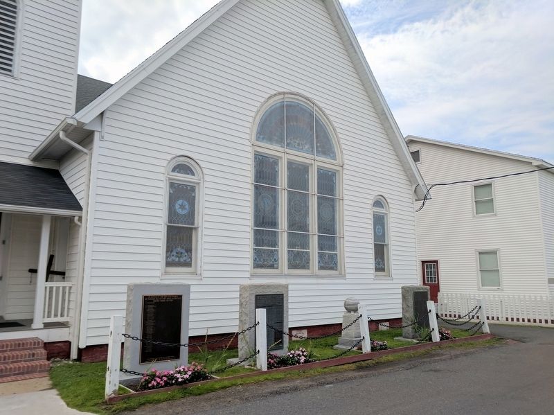
On Main Ridge Road at Janders Road, on the right when traveling south on Main Ridge Road.
On Main Ridge Road at Janders Road, on the right when traveling south on Main Ridge Road.
On Main Ridge Road at Janders Road, on the right when traveling south on Main Ridge Road.
On Main Ridge Road south of Canton Road, on the right when traveling south.
On Main Ridge Road at Pondarosa Road, on the left when traveling south on Main Ridge Road.
On West Ridge Road at School Lane, on the left when traveling north on West Ridge Road.
On Main Ridge Road just south of Hilda Crockett Road.
On Main Ridge Road at Williard's Lane, on the right when traveling south on Main Ridge Road.
On Main Ridge Road at John Al Lane, on the left when traveling south on Main Ridge Road.
On West Ridge Road south of School Lane, on the left when traveling north.
On West Ridge Road at Wallace Road, on the left when traveling north on West Ridge Road.
On Main Ridge Road at Twin John Lane, on the right when traveling south on Main Ridge Road.
On West Ridge Road north of Factory Road, on the left when traveling north.
On Main Ridge Road at Pondarosa Road and Twin John Road, on the right when traveling south on Main Ridge Road.
Paid Advertisement
On Main Ridge Road south of Dise Lane, on the left when traveling south.
On Main Ridge Road just south of Wallace Road.
On West Ridge Road north of Wallace Road, on the left when traveling north.
On Main Ridge Road at Thomas Road on Main Ridge Road.
On Main Ridge Road at Parks Marina Lane, on the left when traveling south on Main Ridge Road.
Near Saxis Road at VA 699.
On US 13 north of Saxis Road, on the left when traveling north.
Near Saxis Road near VA 699.
Near Saxis Road at VA 699.
Near Saxis Road near VA 699.
Near Chincoteague Road (Virginia Route 175) 2.3 miles north of Atlantic Road, on the right when traveling north.
Near Chincoteague Road (Virginia Route 175) 2.3 miles north of Atlantic Road, on the right when traveling north.
Near Chincoteague Road (Virginia Route 175) 2.3 miles north of Atlantic Road, on the right when traveling north.
Near Chincoteague Road (Virginia Route 175) 2.3 miles north of Atlantic Road.
Near Chincoteague Road (Virginia Route 175) 2.3 miles north of Atlantic Road, on the right when traveling north.
On Chincoteague Road (Route 175) 3.4 miles east of Fleming Road (Virginia Route 679), on the right when traveling east.
Paid Advertisement
Near Chincoteague Road (Virginia Route 175) 2.3 miles north of Atlantic Road, on the right when traveling north.
Near Chincoteague Road (Virginia Route 175) 2.3 miles north of Atlantic Road.
On Chincoteague Road (Virginia Route 175) 2.2 miles west of Atlantic Road (Virginia Route 798), on the right when traveling north.
On Rockfish Gap Turnpike (U.S. 250) east of Afton Mountain Road (Virginia Route 6), on the right when traveling west.
On Rockfish Gap Turnpike (U.S. 250) close to Critzer Shop Road (Virginia Route 151), on the right when traveling west.
On Seminole Trail (U.S. 29) north of Frays Mill Road / Burnley Station Road, in the median. Reported missing.
On Stony Point Road (State Highway 20) at Turkey Sag Road (County Road 640), on the right when traveling west on Stony Point Road.
On Plank Road (County Route 692) just west of Miller School Road (County Route 635), on the right when traveling west.
On Rockfish Gap Turnpike (U.S. 250) west of Crozet Avenue / Miller School Road (Virginia Route 240), on the right when traveling east.
On Gordonsville Road (Virginia Route 231) 1.5 miles Virginia Route 640, on the left when traveling north.
On North Milton Road (County Route 729) 0.1 miles south of Richmond Road (U.S. 250).
Near Monticello Loop, 0.4 miles north of Thomas Jefferson Parkway (Virginia Route 53), on the left when traveling north.
Near Ashlawn-Highland Drive.
Near Thomas Jefferson Parkway.
On Stony Point Road at Winding River Lane, on the right when traveling north on Stony Point Road.
Near Thomas Jefferson Parkway.
Paid Advertisement
On Stony Point Road (Virginia Route 20) just north of Richmond Road (U.S. 250), on the right when traveling north. Reported permanently removed.
Near Monticello Loop, 0.4 miles north of Thomas Jefferson Parkway (Virginia Route 53), on the left when traveling north.
Near Monticello Loop north of Thomas Jefferson Parkway (Virginia Route 53), on the left when traveling north.
On McCormick Road south of University Avenue (Business U.S. 250), on the left when traveling south.
On Richmond Road (U.S. 250) 0.1 miles west of Louisa Road (Virginia Route 22), on the right when traveling west.
Near Monticello Loop, 0.4 miles north of Thomas Jefferson Parkway (Virginia Route 53), on the left when traveling north.
Near Thomas Jefferson Parkway (Virginia Route 53) at Jefferson Lake Drive, on the right when traveling east.
Near Thomas Jefferson Parkway.
Near Thomas Jefferson Parkway.
On McCormick Road south of University Avenue (Business U.S. 250), on the left when traveling south.
Near Thomas Jefferson Parkway (Virginia Route 53) west of James Monroe Parkway (County Route 795), on the right when traveling east.
Near Monticello Loop, 0.4 miles north of Thomas Jefferson Parkway (Virginia Route 53), on the left when traveling north.
Near Monticello Loop, 0.4 miles north of Thomas Jefferson Parkway (Virginia Route 53), on the left when traveling north.
On Thomas Jefferson Parkway (Virginia Route 53) at Michie Tavern Lane (Virginia Route 1102), on the right when traveling east on Thomas Jefferson Parkway.
Paid Advertisement
On Thomas Jefferson Parkway (Route 53) 0.1 miles east of Michie Tavern Lane (Virginia Route 1102), on the right when traveling east.
Near Thomas Jefferson Parkway.
Near Thomas Jefferson Parkway.
Near Monticello Loop north of Thomas Jefferson Parkway (Virginia Route 53), on the left when traveling north.
Near Monticello Loop, 0.4 miles north of Thomas Jefferson Parkway (Virginia Route 53), on the left when traveling north.
Near Thomas Jefferson Parkway.
Near Thomas Jefferson Parkway.
Near Thomas Jefferson Parkway (Virginia Route 53) at Mitchie Tavern Lane (County Road 1102), on the right when traveling east. Reported permanently removed.
Near Thomas Jefferson Parkway (Virginia Route 53) 0.1 miles east of Michie Tavern Lane (Virginia Route 1102), on the right when traveling east.
On Ivy Road (Business U.S. 250) near Colonnade Drive.
Near Monticello Loop, 0.4 miles north of Thomas Jefferson Parkway (Virginia Route 53), on the left when traveling north.
Near Monticello Loop, 0.4 miles north of Thomas Jefferson Parkway (Virginia Route 53), on the left when traveling north.
Near Thomas Jefferson Parkway.
Near Thomas Jefferson Parkway.
Near Monticello Loop, 0.4 miles north of Thomas Jefferson Parkway (Virginia Route 53), on the left when traveling north.
Near Thomas Jefferson Parkway.
Paid Advertisement
Near Thomas Jefferson Parkway.
On Thomas Jefferson Parkway (Virginia Route 53) at Michie Tavern Lane (County Road 1102), on the right when traveling east on Thomas Jefferson Parkway. Reported permanently removed.
Near Monticello Loop, 0.3 miles north of Thomas Jefferson Parkway (Virginia Route 53), on the left when traveling south.
Near Thomas Jefferson Parkway (Virginia Route 53) 0.1 miles east of Michie Tavern Lane (Virginia Route 1102), on the right when traveling east.
Near Thomas Jefferson Parkway (Virginia Route 53) 0.1 miles east of Michie Tavern Lane (Virginia Route 1102), on the right when traveling east.
Near Thomas Jefferson Parkway (Virginia Route 53) 0.1 miles east of Michie Tavern Lane (Virginia Route 1102), on the right when traveling east.
On University Avenue (Business U.S. 250) at Hospital Drive, on the right when traveling west on University Avenue.
On East Market Street (County Road 1105) 0.3 miles south of Riverside Drive, on the right when traveling east.
On East Market Street (County Road 1105) 0.2 miles south of Broadway Street, on the right when traveling east.
Near College Drive just west of Scottsville Road (Virginia Route 20), on the right when traveling west.
Near Monticello Loop, 0.3 miles east of Thomas Jefferson Parkway, on the right when traveling east.
On University Avenue (Virginia Route 250) east of McCormick Road, on the left when traveling west.
Near Thomas Jefferson Parkway (Virginia Route 53) just east of Michie Tavern Lane (Virginia Route 1102), on the right when traveling east.
Near Thomas Jefferson Parkway (Virginia Route 53) at Mitchie Tavern Lane (County Road 1102), on the right when traveling east. Reported permanently removed.
On Ivy Road (Business U.S. 250) near Colonnade Drive. Reported permanently removed.
On Ivy Road (Business U.S. 250) just west of Colonnade Drive, on the right when traveling east.
Paid Advertisement
Near College Drive just west of Scottsville Road (Virginia Route 20), on the right when traveling west.
Near Monticello Loop, 0.4 miles north of Thomas Jefferson Parkway (Virginia Route 53), on the left when traveling north.
Near Monticello Loop at Thomas Jefferson Parkway (Virginia Route 53), on the left when traveling north.
Near University Avenue (Business U.S. 250) east of McCormick Road, on the left when traveling west.
12979 entries matched your criteria. Entries 101 through 200 are listed above.
⊲ Previous 100 —
Next 100 ⊳