By Mark Hilton, January 14, 2017
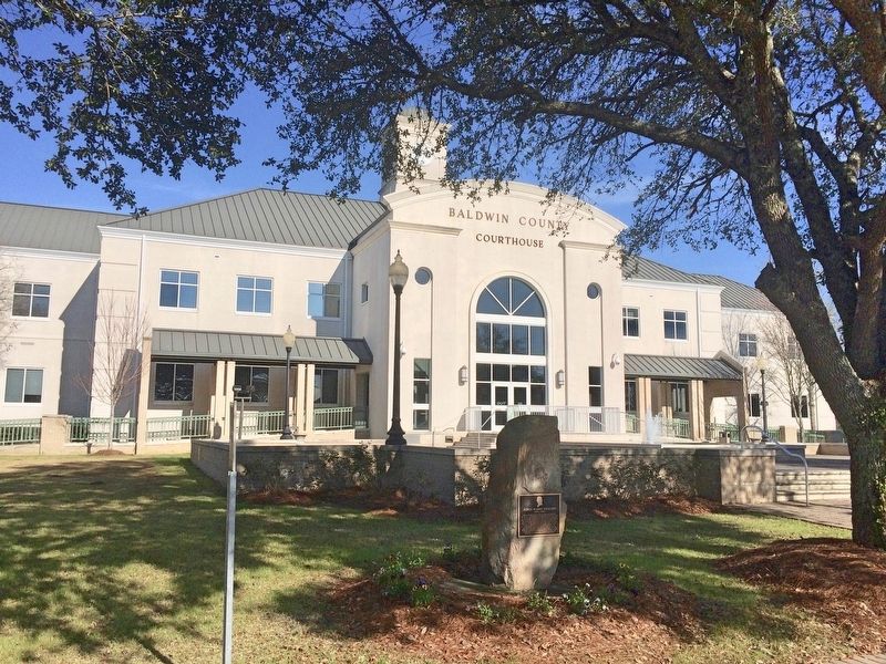
Plaque and stone in front of the Baldwin County Courthouse.
| On Courthouse Square (U.S. 31) at Hand Avenue, on the left when traveling west on Courthouse Square. |
| On Franklin Street, 0.1 miles north of Washington Avenue, on the left when traveling north. |
| On Franklin Street, 0.1 miles Washington Street, on the left when traveling north. |
| On Nern Street, on the right when traveling east. |
| On Eufaula Avenue (Alabama Route 198) at South Armory Street, on the right when traveling east on Eufaula Avenue. |
| On North Midway Street, on the right when traveling south. |
| On U.S. 82 just west of Silo Road, on the right when traveling east. |
| On West Broad Street east of Sanford Avenue, on the right when traveling east. |
| On East Barbour Street (U.S. 82), on the right when traveling east. |
| On West Broad Street, on the right when traveling west. |
| On Springhill Road, on the left when traveling west. |
| On Main Street (U.S. 231) at Lee Street West, on the left when traveling north on Main Street. |
| On Lee Street (County Road 26), on the right when traveling west. |
| On State Highway 79 at Hornet Drive, on the right when traveling south on State Highway 79. |
| On Second Avenue East (US Highway 231) at 4th Street North, on the right when traveling west on Second Avenue East (US Highway 231). |
| On East 10th Street west of Kirkwood Avenue, on the left when traveling east. |
| On Noble Street at East 12th Street, on the right when traveling north on Noble Street. |
| On Ladiga Street Southeast, on the right when traveling east. |
| On Public Square East (State Highway 21) west of Ladiga Street Southeast, on the left when traveling north. |
| On Public Square West (State Highway 21) east of Ladiga Street Southwest, on the left when traveling south. |
| On Pelham Road (State Highway 21) at 5th Street NE, on the right when traveling north on Pelham Road. |
| On Public Square East (State Highway 21) south of Clinton Street Southeast, on the left when traveling north. |
| On East Ladiga Street east of North Center Avenue, on the right when traveling west. |
| On Cedar Bluff Road (State Road 283) north of West Main Street (Business U.S. 411), in the median. |
| On 2nd Avenue North west of 5th Street South, on the right when traveling west. |
| On Indian Way (County Road 5) at State Route 17, on the right when traveling east on Indian Way. |
| On U.S. 84 at Gosport Landing Road, on the left when traveling west on U.S. 84. |
| On Court Street near Main Street, on the right when traveling south. |
| On Berrys Chapel Road, 0.7 miles north of Winn Road (Route 3), on the right when traveling north. |
| Near Court Square (Road 31) at 2nd Avenue North, on the right when traveling south. |
| On Alabama Route 9 at Main Street, on the left when traveling north on State Route 9. |
| On Vickery Street at Hunnicutt Street, on the right when traveling south on Vickery Street. |
| On Putnam Street at Court Street, on the right when traveling east on Putnam Street. |
| Near Putnam Street at Court Street. |
| Near Natchez Trace Access Road (at milepost 327.3), 0.4 miles west of Natchez Trace Parkway, on the right when traveling west. |
| On South Montgomery Avenue at West 1st Street, on the right when traveling south on South Montgomery Avenue. |
| On S. Main Street close to 4th Street, on the right when traveling south. |
| On South Cave Street at East 7th Street, on the right when traveling north on South Cave Street. |
| On South Main Street at Spring Park Road, on the left when traveling south on South Main Street. |
| On SW 14th Avenue near SW 7th Street, on the right when traveling east. |
| Near County Road 5 at County Road 15. |
| On County Road 5, 1.2 miles north of County Road 30, on the right when traveling north. |
| On County Road 15, 1 mile south of County Road 5, on the right when traveling south. |
| On County Road 5, 2 miles north of Conecuh County (County Road 30), on the right when traveling north. |
| Near County Road 15, 0.2 miles south of Doe Lane. |
| On County Road 5, 0.7 miles south of County Road 2, on the right when traveling north. |
| On East 3 Notch Street at 6th Avenue, on the right when traveling west on East 3 Notch Street. |
| On County Road 747, 0.1 miles south of County Road 1508, on the left when traveling south. |
| On Wesley Avenue (County Road 1669) at Lions Park Road, on the right when traveling west on Wesley Avenue. |
| On Alabama Route 134 at Parramore Road, on the right when traveling east on State Route 134. |
| On College Street (Alabama Route 134) at Queen Street, on the right when traveling south on College Street. |
| On Andrews Avenue (Alabama Route 249) west of Meadowlake Drive, on the right when traveling west. |
| On East Broad Street (Alabama Route 27) 0.2 miles east of Union Street (Alabama Route 123), on the right when traveling east. |
| On Painter Avenue at Owens Street, on the right when traveling south on Painter Avenue. |
| On North Union Avenue (Alabama Route 123) at Broad Street (Alabama Route 27), on the right when traveling south on North Union Avenue. |
| On Painter Avenue at Owens Street, on the right when traveling south on Painter Avenue. |
| On Vine Street at 1st Street North, on the right when traveling north on Vine Street. |
| On Capitol Avenue near Vine Street, in the median. |
| On Oak Street north of Fifth North Street, on the left when traveling north. |
| On Union Street at Furniss Avenue, on the left when traveling north on Union Street. |
| On Broad Street (Business U.S. 80) at Water Avenue, on the right when traveling north on Broad Street. Reported permanently removed. |
| On Water Avenue at Lauderdale Street, on the left when traveling west on Water Avenue. |
| On Alabama Avenue east of Mabry Street, on the right when traveling east. |
| On Martin Luther King Jr. Street north of St. Johns Street, on the right when traveling north. |
| On Broad Street (U.S. 80), on the right when traveling north. |
| On Tremont Street, on the right when traveling south. |
| On Tremont Street at McLeod Avenue, on the right when traveling south on Tremont Street. |
| On Washington Street at Alabama Avenue, on the right when traveling north on Washington Street. |
| On Kings Street south of Dallas Avenue (State Highway 22), on the right when traveling south. |
| Near Little River Falls Overlook Trail, 0.1 miles west of Alabama Route 35. |
| On Coosada Road at Auburn Hill Road, on the right when traveling west on Coosada Road. |
| On Main Street (Alabama Route 143) at Coosada Road, on the right when traveling north on Main Street. |
| On Jasmine Hill Road at Old Montgomery Highway, on the right when traveling south on Jasmine Hill Road. |
| On Belleville Avenue at Court Street, on the right when traveling south on Belleville Avenue. |
| On Manassas Street at Misella Street on Manassas Street. |
| On Cabot Avenue at Dwight, Winona, & Lakefront Aves. & Coolidge Cir., on the right when traveling north on Cabot Avenue. |
| On Forrest Avenue at South 8th Street, on the right when traveling east on Forrest Avenue. |
| On Broad Street near South 1st Street. |
| On Main Street (U.S. 11) near Springfield Avenue, on the right when traveling west. |
| On Hobson Street at Main Street, on the left when traveling north on Hobson Street. |
| On East Laurel Street near South Broad Street (State Route 279), on the right when traveling east. |
| On South Scott Street north of East Charlotte Avenue, on the left when traveling north. |
| On Lee Highway/John T. Reid Parkway (State Highway 2/72) at County Road 7, on the left when traveling west on Lee Highway/John T. Reid Parkway. |
| On Arlington Avenue at 19th Street South, on the right when traveling west on Arlington Avenue. |
| Near 3rd Avenue North near Richard Arrington Jr, Blvd North. |
| On 1st Avenue North (U.S. 11), on the right when traveling north. |
| On Richard Arrington, Jr. Blvd North north of 3rd Avenue North. |
| Near Richard Arrington Jr. Blvd. North. |
| On Cahaba Road at Park Lane, on the right when traveling north on Cahaba Road. |
| On 6th Avenue North at 24th Street North, on the left on 6th Avenue North. |
| On Vestavia Drive east of Beaumont Drive, on the left when traveling east. |
| On East Main Street (U.S. 278) at Bankhead Street, on the right when traveling east on East Main Street. |
| Near Hightower Place south of Veterans Drive (Alabama Route 133), on the left when traveling south. |
8706 entries matched your criteria. The first 100 are listed above.
Next 100 ⊳