By Cosmos Mariner, May 29, 2022
St. George's Anglican Church & Cemetery Marker
GEOGRAPHIC SORT Title Sort Marker Number Sort Marker Number Sort N Marker Number Sort T Publication Order Sort Publication Order Sort A Erected Year Sort Most Viewed Sort Most Recent-Interest Sort Most Recently Changed Sort SEE FAQ #33 FOR DESCRIPTIONS
On Randall Drive at Kingston Road West (Durham Regional Highway 2), on the left when traveling north on Randall Drive.
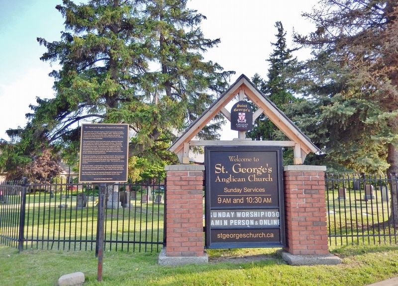
On Old Kingston Road just west of Church Street North, on the left when traveling west.
On Old Kingston Road just west of Church Street North, on the left when traveling west.
On McRae Street at Trootie Street, on the left when traveling east on McRae Street.
Near Peace Street just north of McRae Street, on the right when traveling north.
On King Avenue East, 0.1 kilometers Beaver Street North, on the left when traveling east.
On King Street East at Division Street, on the left when traveling west on King Street East.
On Temperance Street at Church Street, on the right when traveling south on Temperance Street.
On Wellington Street at Silver Street, on the right when traveling west on Wellington Street.
On Wellington Street at Silver Street, on the right when traveling west on Wellington Street.
On Church Street at Temperance Street, on the right when traveling east on Church Street.
On Temperance Street at Church Street, on the right when traveling south on Temperance Street.
On Temperance Street at King Street West, on the right when traveling south on Temperance Street.
On Temperance Street at King Street West, on the right when traveling north on Temperance Street.
Paid Advertisement
On Church Street, 0.1 kilometers west of Temperance Street, on the right when traveling west.
On Temperance Street at Church Street, on the right when traveling north on Temperance Street.
On Courtice Road at Bloor Street, on the right when traveling north on Courtice Road.
On Old Kingston Road, 0.2 kilometers east of Durham Highway 2, on the right when traveling east.
On Old Kirby School Road at Ganaraska Road, on the left when traveling north on Old Kirby School Road.
On Mill Street South at Edward Street West, on the right when traveling south on Mill Street South.
On Durham Regional Highway 2, 0.2 kilometers east of Cobbledick Road, on the right when traveling west.
On Concession Road 7, 0.5 kilometers west of Liberty Street North, on the right when traveling west.
On Durham Regional Road 13 at Concession Road 7 (County Road 1), on the right when traveling west on Durham Regional Road 13.
On Durham Regional Road 1 (Concession Road 7) just north of Leaskdale Road, on the right when traveling north.
On Durham Regional Road 1 just north of Leaskdale Road, on the right when traveling north.
Near Simcoe Street North (Durham Regional Road 2) just south of Parkwood Court, on the right when traveling south.
Near Simcoe Street North (Durham Regional Road 2) just south of Parkwood Court, on the right when traveling south.
Near Simcoe Street North (Durham Regional Road 2) just south of Parkwood Court, on the right when traveling south.
On Athol Street East just east of Celina Street, on the left when traveling east.
On Centre Street South (Provincial Highway 2A) just north of John Street West, on the left when traveling south.
Paid Advertisement
Near Centre Street South (Provincial Highway 2A) just south of King Street West, on the right when traveling south.
On Celina Street south of King Street East, on the right when traveling south.
On Simcoe Street South (Provincial Highway 2) 0.06 kilometers north of Athol Street West, on the left when traveling north.
Near Metcalfe Street just west of Simcoe Street South (Provincial Highway 2), on the left when traveling west.
On Metcalfe Street just east of Center Street South (Provincial Highway 2A) when traveling east.
Near Simcoe Street South (Provincial Highway 2) just south of Metcalfe Street, on the left when traveling north.
On Celina Street just north of Bruce Street, on the right when traveling south.
On John Street West just east of Centre Street South (Provincial Highway 2A), on the left when traveling east.
On Centre Street South (Provincial Highway 2A) just south of King Street West, on the right when traveling south.
On Simcoe Street North (County Road 2) 0.2 kilometers south of Columbus Road East, on the left when traveling south.
On Simcoe Street South, 0.2 kilometers Lakeview Park Avenue, on the right when traveling south.
Near Simcoe Street South, 0.2 kilometers south of Lakeview Park Avenue, on the right when traveling south.
On Simcoe Street South, 0.2 kilometers Lakeview Park Avenue.
On Simcoe Street South, 0.2 kilometers south of Lakeview Park Avenue, on the right when traveling south.
On Simcoe Street South, on the right when traveling south.
On Richmond Street West just west of Simcoe Street North (Provincial Highway 2), on the right when traveling west.
Paid Advertisement
On Bond Street West just west of Prince Street, on the left when traveling west.
On Bond Street West, 0.08 kilometers west of Simcoe Street North (Provincial Highway 2), on the left when traveling west.
On Simcoe Street North (Durham Regional Road 2) at Richmond Street East, on the right when traveling north on Simcoe Street North (Durham Regional Road 2).
On King Street East at Ontario Street, on the left when traveling east on King Street East.
Near King Street West at Prince Street, on the right when traveling east.
On King Street West just east of McMillan Drive, on the left when traveling east.
On Centre Street North (Provincial Highway 2A) just south of Bond Street West, on the left when traveling south.
On Boundary Road (Local Route 52) 0.7 kilometers south of Wentworth Street (Local Route 60), on the right when traveling south.
On Dundas Street West at Byron Street North, on the right when traveling west on Dundas Street West.
On Byron Street North just south of Elm Street, on the left when traveling south.
On Centre Street North at Dundas Street West, on the right when traveling south on Centre Street North.
On Reynolds Street at Gilbert Street East, on the left when traveling south on Reynolds Street.
On Brock Street North just north of Elm Street, on the right when traveling north.
On Byron Street North just south of Mary Street West, on the right when traveling south.
On Dundas Street West at Centre Street South, on the right when traveling west on Dundas Street West.
On Dundas Street West at Euclid Street on Dundas Street West.
Paid Advertisement