By Tom Bosse, June 3, 2023
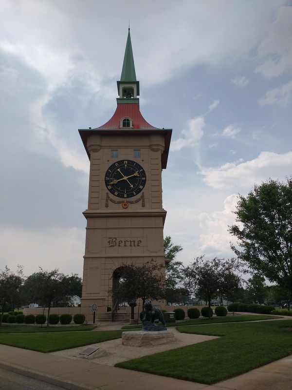
Bear Statue Marker
| On West Main Street (Indiana Route 218), on the right when traveling west. |
| On West Main Street (Indiana Route 218), on the right when traveling west. |
| On U.S. 27 at West Water Street, on the right when traveling north on U.S. 27. |
| On South 2nd Street south of Madison Street, on the right when traveling south. |
| On South 2nd Street at Madison Street, on the right when traveling south on South 2nd Street. |
| On E. Line St at High St, on the right when traveling west on E. Line St. |
| On U.S. 27, on the right when traveling south. |
| On Arcola Road, on the right when traveling west. |
| On E. Main Street, on the left when traveling east. |
| Near Parnell Avenue, 0.1 miles east of Spy Run Avenue Extension, on the left. |
| On E. Main Street, on the left when traveling east. |
| On East Main Street at Clay Street, on the right when traveling west on East Main Street. |
| On Superior Street at Spy Run Avenue / Purple Heart Memorial Hwy (U.S. 27), on the left when traveling east on Superior Street. |
| On East Main Street at Clay Street, on the right when traveling west on East Main Street. |
| On Edgewater Avenue, 0.5 miles west of Lafort Street, on the left. |
| Near Rivergreenway, 0.1 miles east of Spy Run Avenue (U.S. 27), on the left when traveling east. |
| On East Main Street near South Barr Street, on the right when traveling west. |
| On West Washington Boulevard just west of Fairfield Avenue, on the left when traveling west. |
| On East Superior Street, on the right when traveling east. |
| On West Main Street west of Webster Street, on the right when traveling east. |
| On West Main Street west of Webster Street, on the right when traveling east. |
| On Illsley Drive east of Broadway, on the right when traveling east. |
| On 1st Street just east of West Street, on the right when traveling west. |
| On Indiana Route 37 at Antwerp Road, on the right when traveling east on State Route 37. |
| On Hoagland Road just east of Poplar Drive, on the right when traveling east. |
| On Lima Road north of Hunter Street, on the right when traveling south. |
| On Carroll Road near Madden Road. Reported permanently removed. |
| On Main Street (Indiana Route 101) just north of West South Street, on the right when traveling south. |
| On Main Street (Indiana Route 101) at Bull Rapids Road, on the right when traveling west on Main Street. |
| On County Road 325W at Lowell Rd, on the right when traveling north on County Road 325W. |
| On 3rd Street (Indiana Route 46) west of Lafayette Avenue, on the right when traveling west. |
| On Lindsey Street, on the right when traveling south. |
| On South Main Street at West Huntington Street (Indiana Route 18), on the left when traveling north on South Main Street. |
| On N 825 W, on the left when traveling north. |
| On South Main Street just south of West Hawthorne Street, on the right when traveling south. |
| On W. Hawthorne Street at S. 2nd Street, on the left when traveling west on W. Hawthorne Street. |
| On South Main Street at East Cedar Street, on the right when traveling north on South Main Street. |
| On Michigan Street (a.k.a.: St Rd 29) at East 7th Street, on the right when traveling north on Michigan Street (a.k.a.: St Rd 29). |
| On West Main Street west of Water Street, on the right when traveling west. |
| Near West North Washington Street at North Charles Street, on the right when traveling east. |
| Near West North Washington Street just east of North Charles Street, on the right when traveling east. |
| On County Road N 700 W north of County Road W 675 N, on the right when traveling north. |
| On South Washington Street south of West Franklin Street, on the right when traveling south. |
| On West Monroe Street (State Road 39) near West S Road, on the left when traveling west. |
| Near West North Washington Street at North Charles Street, on the right when traveling east. |
| On West Towpath Road west of North Meridian Road, on the left when traveling west. |
| On Bicycle Bridge Road, 0.1 miles west of West Monroe Street (Indiana Route 18), on the right when traveling east. |
| On Columbia Street (State Road 18) west of South Center Street, on the right when traveling west. |
| On County Road N 800 W at County Road W 550 N, on the right when traveling south on County Road N 800 W. |
| On South 800 West at West 550 South on South 800 West. |
| On County Road E250N, 0.4 miles County Road 725E, on the right when traveling east. |
| On County Road E250N, 0.8 miles east of County Road N600E, on the right when traveling east. |
| On Michigan Avenue (a.k.a. - St Rd 25) at Fulton Street, on the right when traveling south on Michigan Avenue (a.k.a. - St Rd 25). |
| On 9th street, on the right when traveling north. |
| On West Harrison Avenue, on the right when traveling south. |
| On Harrison Avenue west of Lynda Avenue, on the left when traveling west. |
| Near Harrison Avenue west of Bailey Avenue, on the right when traveling east. |
| On West Riverside Drive at Spring Street, on the left when traveling west on West Riverside Drive. |
| On East Court Avenue at Spring Street, on the right when traveling west on East Court Avenue. |
| On Ohio River Scenic Byway (State Road 62) near North 1st Street, on the right when traveling west. |
| On Ohio River Scenic Byway (State Road 62) 0.2 miles west of East Hiawatha Heights, on the left when traveling west. |
| Near Industrial Park Road just south of Indiana Route 64/66, on the left when traveling south. |
| On State Road 58 west of State Road 57, on the right when traveling east. |
| On E. State Road (State Road 58) west of N. John Street, on the right when traveling west. |
| On East Main Street west of SE 2nd Street, on the left when traveling west. |
| Near Cumberland Drive, 0.2 miles east of State Road 57. |
| On Road 56 south of 5th Street, on the right when traveling north. |
| On Green Boulevard (U.S. 50) at Indiana Route 350, on the right when traveling west on Green Boulevard. |
| On Fifth Street west of Main Street, on the right when traveling east. |
| On Front Street at Bank Street, on the left when traveling north on Front Street. |
| On Action Lane, 0.1 miles east of U.S. 50, on the right when traveling south. |
| On State Road 1, 0.1 miles south of E. Fork Road, on the left when traveling north. |
| Near South Walnut Street south of New Street. |
| On High Street at Walnut Street, on the right when traveling east on High Street. |
| On Green Boulevard (U.S. 50) at Park Street, on the right when traveling east on Green Boulevard. |
| On Walnut Street at High Street, on the right when traveling north on Walnut Street. |
| On 2nd Street at Main Street, on the right when traveling west on 2nd Street. |
| On West High Street, on the left when traveling west. |
| On West High Street at Front Street, on the right when traveling west on West High Street. |
| Near West High Street at Front Street, on the right when traveling west. |
| On East High Street at Elm Street, on the right when traveling west on East High Street. |
| On West High Street at Ash Street, on the right when traveling east on West High Street. |
| On North Franklin Street north of East Main Street (U.S. 421), on the left when traveling north. |
| On East Washington Street east of North Broadway Street, on the right when traveling east. |
| On North Cedar Street at Fourth Street, on the right when traveling north on North Cedar Street. |
| On South Duesenberg Drive, 0.1 miles south of Highland Drive, on the left when traveling south. |
| On County Road 7, 0.3 miles north of State Route 8, on the right when traveling north. |
| On Indiana Route 1 at County Road 4A, on the right when traveling north on State Route 1. |
| On State Road 1 at DeKalb County Road 68 (County Road 68), on the right when traveling north on State Road 1. |
| On East Gregory Road (County Road E879N) at Old Granville Road (County Road N375E), on the left when traveling east on East Gregory Road. |
| On County Road 370 at County Road 1270, on the right when traveling north on County Road 370. |
| On East Elm Street (County Road 850N) at South Sycamore Street (County Road N600W), on the right when traveling east on East Elm Street. |
| On South Burlington Drive, 0.2 miles north of County Road 500, on the left when traveling north. |
578 entries matched your criteria. The first 100 are listed above.
Next 100 ⊳