By Dave W, February 14, 2022
Hynes-Balthrope House Marker
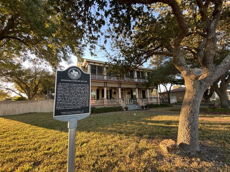
| On South Church Street, on the right when traveling south. |
| On North Live Oak Street, on the right when traveling south. |
| On North Magnolia Street just north of East Nopal Street, on the left when traveling north. |
| On West 1st Street (U.S. 287) at Parks Street, on the right when traveling west on West 1st Street. |
| On East Main Street (State Highway 36) at South Harris Street, on the left when traveling west on East Main Street. |
| On East Main Street (Farm to Market Road 529) at North Amthor Street, on the right when traveling west on East Main Street. |
| On East O'Bryant Street at South Tesch Street, on the right when traveling east on East O'Bryant Street. |
| On South Bell Street at West Luhn Street, on the left when traveling north on South Bell Street. |
| On Main Street, 0.1 miles west of Fordtran Boulevard (State Highway 159), on the left when traveling west. |
| On Park Road 38, 0.1 miles east of Antonio Martinez Street, on the right when traveling west. |
| On Main Street at West Front Street, on the left when traveling east on Main Street. |
| On Hardeman Street at Main Street, on the left when traveling north on Hardeman Street. |
| On 6th Street at Atchison Street, on the right when traveling west on 6th Street. |
| On Main Street at Fowlkes Street, on the left when traveling east on Main Street. |
| On Farm to Market Road 109, 0.7 miles south of Farm to Market Road 2502, on the right when traveling north. |
| On Airport Road, 0.1 miles south of Bottle Springs Road, on the right when traveling south. |
| Near State Highway 16 at 14th Street. |
| On Spring Street east of Main Street, on the right when traveling east. |
| On Wilson Street, 0.1 miles south of Cedar Street, on the left when traveling north. |
| On Church Street at Buttonwood Street, on the right when traveling south on Church Street. |
| On North Main Street, 0.1 miles north of West 2nd Street, on the left when traveling north. |
| On Ramona Street at Northwest 2nd Street, on the right when traveling south on Ramona Street. |
| On Northeast 4th Street at Olive Street, on the right when traveling west on Northeast 4th Street. |
| On Colorado Street at Burleson Street, on the right when traveling west on Colorado Street. |
| On South Main Street (State Highway 317) at Water Street, on the right when traveling north on South Main Street. |
| On North Main Street (State Highway 317) at East First Ave, on the right when traveling north on North Main Street. |
| On Royal Street, on the right when traveling west. |
| Near Interstate 35 Frontage Road. |
| On North Main Street (Farm to Market Road 2268) at Blacksmith Street, on the right when traveling north on North Main Street. |
| On Morton Street at Argyle Avenue, on the left when traveling north on Morton Street. |
| On Bandera Road (State Highway 16) 0.1 miles west of Helotes Canyon Drive, on the right when traveling west. |
| On Scenic Loop Road at Marnoch Road on Scenic Loop Road. |
| On Washington Circle at Northwest Drive, on the right when traveling east on Washington Circle. |
| On King William Street south of Beauregard Street, on the right when traveling north. |
| On King William Street north of Beauregard Street, on the right when traveling north. |
| On King William Street at South St. Mary's Stret, on the right when traveling west on King William Street. |
| On Madison Street at East Sheridan Street, on the right when traveling south on Madison Street. |
| On King William Street south of Beauregard Street, on the right when traveling south. |
| On King William Street south of East Sheridan Street, on the right when traveling south. |
| On Washington Street south of Turner Street, on the right when traveling south. |
| On King William Street at East Johnson Street, on the right when traveling north on King William Street. |
| Near East Johnson Street west of King William Street, on the right when traveling west. |
| On King William Street at Washington Street, on the right when traveling south on King William Street. |
| On Madison Street north of Beauregard Street, on the right when traveling north. |
| On King William Street south of East Johnson Street, on the right when traveling south. |
| On Madison Street at East Sheridan Street, on the right when traveling north on Madison Street. |
| On Madison Street at East Johnson Street, on the right when traveling south on Madison Street. |
| On Starr Street at Elm Street, on the left on Starr Street. |
| On 6th Street north of Avenue E, on the left when traveling north. |
| On Lexington Avenue at Dallas Street, on the right when traveling south on Lexington Avenue. |
| On Taylor Street north of 3rd Street/East Martin Street, on the left when traveling north. |
| Near West Marten Street at North Santa Rosa Street, on the right when traveling east. |
| On West Jones Avenue, 0.1 miles east of Dallas Street, on the left when traveling east. |
| On Commerce Street, on the right when traveling west. |
| Near 10th Street at Avenue B. |
| On Piazza Italia at Columbus Street, on the right when traveling west on Piazza Italia. |
| On 6th Street north of Avenue E, on the left when traveling north. |
| On Auditorium Circle north of Jefferson, on the right when traveling north. |
| Near East Travis Street west of North Saint Mary's Street, on the right when traveling east. |
| On Dwyer Avenue at Old Guilbeau Street, on the right when traveling north on Dwyer Avenue. |
| On East Houston Street at Navarro Street, on the right when traveling east on East Houston Street. |
| On Broadway south of McCullough Avenue, on the right when traveling south. |
| On Leslie Road, 0.1 miles south of Braun Road, on the right when traveling south. |
| On Crofton Avenue at Constance Street, on the left when traveling north on Crofton Avenue. |
| On Adams Street north of Stieren Street, on the left when traveling north. |
| On East Nueva Street at South Alamo Street, on the left when traveling west on East Nueva Street. |
| On South Presa Street, 0.1 miles north of East Cesar E. Chavez Blvd, on the left when traveling north. |
| On Dolorosa east of South Main Avenue, on the right when traveling east. |
| On San Pedro Avenue at West French Place, on the right when traveling south on San Pedro Avenue. |
| On North Saint Mary's Street at Alpine, on the left when traveling east on North Saint Mary's Street. |
| Near North Saint Mary's Street, 0.2 miles west of Tuleta Drive. |
| On Belknap Place at West Russell Place, on the left when traveling north on Belknap Place. |
| On West Park Avenue at Howard Street, on the right when traveling west on West Park Avenue. |
| On East French Place at North Main Avenue, on the right when traveling west on East French Place. |
| On West Ashby Place at Belknap Place, on the right when traveling east on West Ashby Place. |
| On West French Place at Belknap Place, on the right when traveling east on West French Place. |
| On West Huisache Avenue at Howard Street, on the right when traveling west on West Huisache Avenue. |
| Near Espada Road at Camino Coahuilteca, on the left when traveling south. |
| On Mission Road at Felisa Street, on the left when traveling south on Mission Road. |
| On Howard Street at West Laurel Street, on the right when traveling south on Howard Street. |
| On Howard Street north of West Maple Street, on the left when traveling north. |
| On Broadway at East Hildebrand Avenue on Broadway. |
| On Broadway at East Hildebrand Avenue on Broadway. |
| On Augusta Street at Giraud Street, on the left when traveling south on Augusta Street. |
| On Kentucky Avenue at North Calaveras, on the right when traveling east on Kentucky Avenue. |
| On Elm Street at Avenue G, on the right when traveling east on Elm Street. |
| On South College Hill Drive at West 9th Street on South College Hill Drive. |
| On West Morgan Street (State Highway 22) at South Main Street (State Highway 144), on the left when traveling west on West Morgan Street. |
| On West Magnolia Street west of North Bowie Street, on the right when traveling east. |
| On Walnut Street at West 9th Street, on the right when traveling south on Walnut Street. |
| On East 5th Street at East 5th Street, on the left when traveling east on East 5th Street. |
| On North Velasco Street, on the right when traveling north. |
| On East Locust Street, on the left when traveling east. |
| Near North Velasco Street, on the right when traveling north. |
| On FM 521 Road (Farm to Market Road 521), on the right when traveling south. |
| On County Road 316 (Highway 316), on the left when traveling north. |
| On Main Street (County Highway 703) at Austin Street (County Highway 300E), on the right when traveling east on Main Street. |
972 entries matched your criteria. The first 100 are listed above.
Next 100 ⊳