By Barry Swackhamer, May 13, 2018
Nez Perce War Marker, on left
GEOGRAPHIC SORT Title Sort Marker Number Sort Marker Number Sort N Marker Number Sort T Publication Order Sort Publication Order Sort A Erected Year Sort Most Viewed Sort Most Recent-Interest Sort Most Recently Changed Sort SEE FAQ #33 FOR DESCRIPTIONS
On A-2 Clark County Road (Main Street) near Interstate 15, on the left when traveling east.
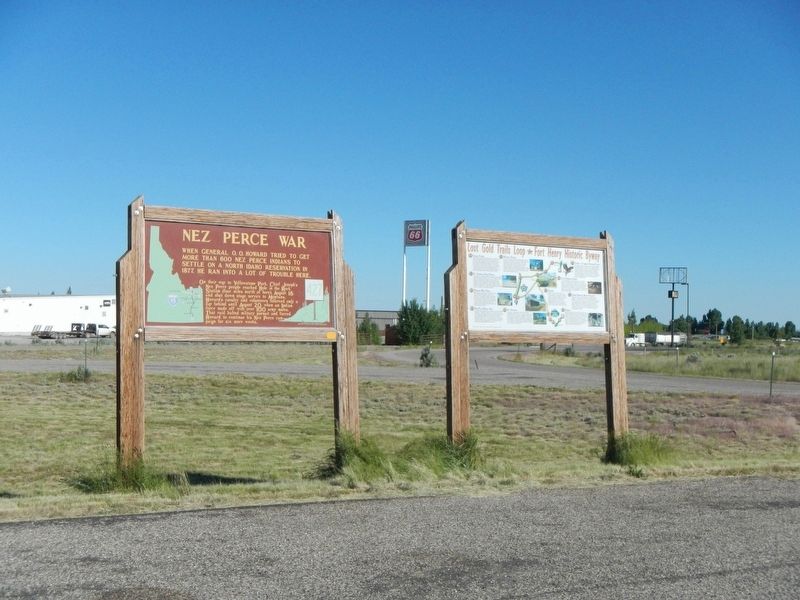
On U.S. 95 at Airport Road, on the right when traveling north on U.S. 95.
On U.S. 95 at Airport Road, on the right when traveling north on U.S. 95.
On U.S. 95 at Airport Road, on the right when traveling north on U.S. 95.
On Lolo Motorway (Forest Road 500) near Weites Butte Lookout Road, on the left when traveling west.
On U.S. 95 near Lake Road, on the left when traveling north.
Near Lake Road near Tolo Lake Road, on the left when traveling south.
On U.S. 95 at milepost 227, on the right when traveling north.
On U.S. 12 at State Highway 13, on the left when traveling east on U.S. 12.
On U.S. 12, 0.5 miles east of State Highway 13, on the right when traveling east.
Near U.S. 12 at Elk Meadows Road, on the left when traveling east.
On U.S. 12 at milepost 158 near Forest Road 1684, on the left when traveling west.
Near U.S. 12 at milepost 121, on the right when traveling west.
On State Highway 13 at milepost 21 near Stites Grade Road, on the left when traveling north.
On Lolo Motorway (Forest Road 500) near Horseshoe Lake Lookout Road, on the left when traveling south.
Paid Advertisement
Near Old Highway 95 near Two Moon Trail, on the left when traveling north.
Near Old Highway 95 near Two Moon Trail, on the left when traveling north.
On U.S. 95 near Trueblood Lane, on the right when traveling north.
Near Idaho Route 28, on the right when traveling north.
On Casey Road (U.S. 93) near Hughs Creek Road (Forest Road 091), on the left when traveling north.
On U.S. 12, 0.3 miles north of Corbett Lane, on the left when traveling west.
On U.S. 12, 0.3 miles north of Corbett Lane, on the left when traveling west.
On U.S. 12, 0.6 miles west of Lenore Grade, on the right when traveling west.
On U.S. 12, 1 mile east of Nez Perce Road, on the right when traveling east.
On U.S. 12, 1 mile east of Nez Perce Road, on the right when traveling east.
On North Superior Street (U.S. 95) near West Hopper Avenue, on the left when traveling north.
Near Park Entrance Road near State Highway 43, on the left when traveling east.
On Park Entrance Road near State Highway 43, on the left when traveling north.
Near Park Entrance Road near State Highway 43, on the left when traveling north.
On State Highway 43 at Bitterroot-Big Hole Road, on the left when traveling east on State Highway 43.
Paid Advertisement
Near Park Entrance Road near State Highway 43, on the left when traveling east.
On Cleveland Road (County Road 240) near S-B Road, on the left when traveling south.
Near Cleveland Road (County Road 240) near S-B Road.
On Cleveland Road (County Road 240) near S-B Road, on the left when traveling south.
On Cleveland Road (County Road 240) near S-B Road, on the right when traveling south.
Near Cleveland Road (County Road 240) near S-B Road.
Near Cleveland Road (County Road 240) near S-B Road.
On Cleveland Road (County Road 240) near S-B Road, on the left when traveling south.
Near Cleveland Road (County Road 240) near S-B Road.
On Cleveland Road (County Road 240) near S-B Road, on the left when traveling south.
Near Cleveland Road (County Road 240) near S-B Road.
Near Cleveland Road (County Road 240) near S-B Road.
On Cleveland Road (County Road 240) near S-B Road, on the left when traveling north.
On 1st Street (U.S. 2) near Cleveland Road West, on the right when traveling east.
On Front Street near 18th Street, on the right when traveling east.
On Railway Avenue East (U.S. 12) near Third Street North, on the right when traveling west.
Paid Advertisement
Near U.S. 12, on the left when traveling west.
Near Lolo Creek Road (U.S. 12) near Sun Ray Lane, on the left when traveling west.
Near Lolo Creek Road (U.S. 12) near Sun Ray Lane, on the left when traveling west.
Near Lolo Creek Road (U.S. 12) near Sun Ray Lane, on the left when traveling west.
Near Lolo Creek Road (U.S. 12) near Sun Ray Lane, on the left when traveling west.
On East Main Street (Old U.S. 10) near 1st Avenue, on the left when traveling west.
On U.S. 60/177, on the right when traveling east.
On Hat Point Road east of Upper Imnaha Road, on the right when traveling east.
On Wallowa Lake Highway (Oregon Route 351) near South East Street.
On Wallowa Lake Highway (Oregon Route 351) near South East Street, on the right when traveling south.
On Wallowa Lake Highway (Oregon Route 351), on the right when traveling south.
On Grand Loop Road (U.S. 20) 0.4 miles east of Fountain Flat Drive, on the right when traveling south.
On Lower Grand Loop Road (U.S. 20), on the right when traveling south.
On Grand Loop Road (U.S. 89) 0.5 miles south of Fountain Flat Drive, on the left when traveling north.