By Mark Hilton, September 25, 2022
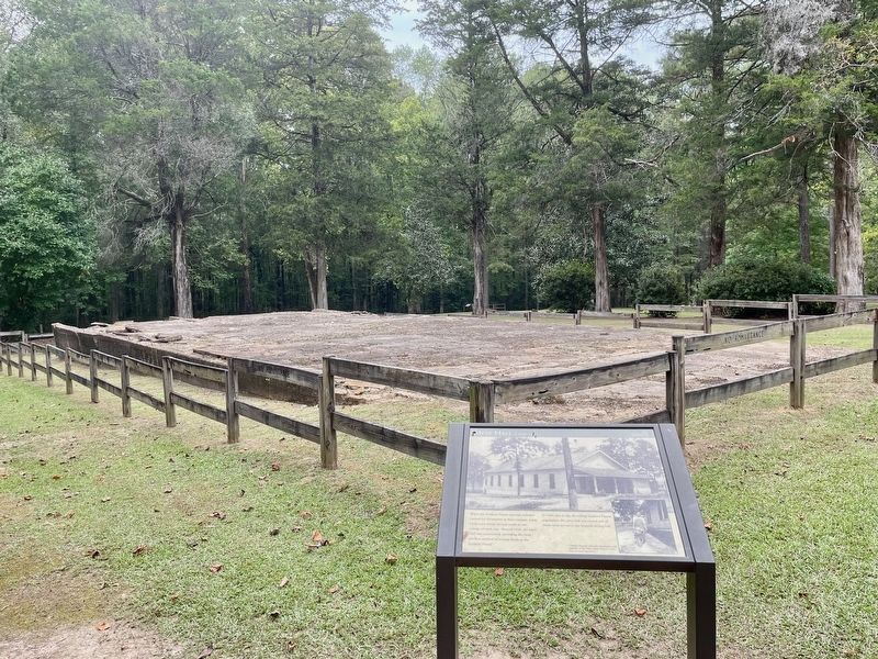
Former Mess Hall & Marker.
| Near County Road 63, 0.3 miles south of County Road 530, on the right when traveling south. |
| Near County Road 63, 0.2 miles south of County Road 530, on the right when traveling south. |
| Near County Road 63, 0.3 miles south of County Road 530, on the right when traveling south. |
| On Alabama Route 131 at County Road 79, on the right when traveling south on State Route 131. |
| On County Road 92, 0.3 miles east of County Road 585 when traveling east. |
| On Cedar Bluff Road (State Road 283) north of West Main Street (Business U.S. 411), in the median. |
| On Jackson Drive east of Bay Springs Road, on the left when traveling east. |
| On South River Street south of 2nd Street, on the left when traveling south. |
| On East Main Street (Business U.S. 411) at Cedar Bluff Road, on the left when traveling east on East Main Street. |
| On County Road 63, 0.7 miles north of State Route 143, on the left when traveling north. |
| On County Road 63, 0.6 miles north of State Route 143, on the left when traveling north. |
| On South Jackson Street, on the right when traveling south. |
| On Mayton Drive, on the left when traveling south. |
| Near Court Square (Road 31) at 2nd Avenue North, on the right when traveling south. |
| On W. 20th Street at W. 15th Street on W. 20th Street. |
| On County Road 5, 1.2 miles north of County Road 30, on the right when traveling north. |
| On West Front Street (U.S. 84) at Cooper Street (State Route 83), on the left when traveling east on West Front Street. |
| On West Front Street (U.S. 84) 0.1 miles east of Cooper Street (State Route 83), on the left when traveling east. |
| On Alabama Route 22 at Jackson Street, on the right when traveling west on State Route 22. |
| On East 3 Notch Street at 6th Avenue, on the right when traveling west on East 3 Notch Street. |
| On South Court Square, on the right when traveling east. |
| On South Cotton Street at Coffee Street, on the right when traveling north on South Cotton Street. |
| On South 3 Notch Street at Dunson Street, on the right when traveling south on South 3 Notch Street. |
| On West 3rd Street (Alabama Route 15) near Glenwood Avenue, on the right when traveling east. |
| On Glenwood Avenue at East 4th Street, on the right when traveling north on Glenwood Avenue. |
| On 3rd Street Northeast (U.S. 278E) at 6th Avenue Northeast, on the left when traveling east on 3rd Street Northeast. |
| On Arnold Street, on the right when traveling east. |
| On Vine Street at 1st Street North, on the right when traveling north on Vine Street. |
| On Capitol Avenue at Vine Street, on the right when traveling east on Capitol Avenue. |
| On Oak Street north of Fifth North Street, on the left when traveling north. Reported permanently removed. |
| On Vine Street, on the left when traveling south. Reported permanently removed. |
| On Vine Street at Capitol Street, on the right when traveling north on Vine Street. Reported damaged. |
| Near Oak Street south of 1st Street North. |
| Near Alabama Avenue near Lauderdale Street, on the right when traveling east. |
| On Union Street at Alabama Avenue on Union Street. |
| On Church Street at Parkman Avenue, on the right when traveling south on Church Street. |
| On Lauderdale Street, on the right when traveling north. |
| On Mabry Street south of Jeff Davis Avenue, on the right when traveling south. |
| On Orline Street, 0.1 miles south of Hill Street, on the right when traveling south. |
| Near South Main Street south of West School Street, on the left when traveling north. |
| On Belleville Avenue at Court Street, on the right when traveling south on Belleville Avenue. |
| On St. Joseph Avenue (U.S. 31) at Mildred Street (U.S. 29), on the right when traveling north on St. Joseph Avenue. |
| On Misella Street at Lamosa Street, on the right when traveling south on Misella Street. |
| On 6th Avenue at 4th Street NW, on the right when traveling north on 6th Avenue. |
| On South 1st Street south of Walnut Street, on the right when traveling north. |
| On South 1st Street, on the right when traveling north. |
| On Broad Street at North 5th Street, on the right when traveling west on Broad Street. |
| On Chestnut Street at South 9th Street, on the right when traveling east on Chestnut Street. |
| On County Road 28, 2.5 miles east of State Route 95, on the right when traveling east. |
| On Kirkland Street, on the right when traveling south. |
| On County Road 47, 4.5 miles south of State Route 10, on the right when traveling south. |
| On North Main Street (Alabama Route 95) at Clark Street, on the right when traveling south on North Main Street. |
| On Museum Avenue north of East Main Street (U.S. 84), on the right when traveling north. |
| On North Foster Street at North Foster Street & E Troy St, on the right when traveling north on North Foster Street. |
| Near Landmark Drive at Reeves Street (U.S. 431). |
| On Eastern Valley Road south of Elrie Boulevard, on the right when traveling south. |
| On Rhodes Circle, on the right when traveling west. |
| Near 3rd Avenue North near Richard Arrington Jr, Blvd North. |
| On Richard Arrington Jr. Boulevard North at 2nd Avenue North, on the left when traveling north on Richard Arrington Jr. Boulevard North. |
| Near 32nd Street North at 2nd Avenue North, on the left when traveling north. |
| On 20th Street South at 11th Avenue South, on the right when traveling north on 20th Street South. |
| Near Richard Arrington Jr. Blvd. North. |
| On 19th Street North at 3rd Avenue North, on the right when traveling north on 19th Street North. |
| On 3rd Avenue North, on the right when traveling east. |
| On 2nd Avenue North, on the left when traveling west. |
| Near Richard Arrington Jr Boulevard North at Park Place, on the right when traveling east. |
| On Highland Avenue, on the right when traveling east. |
| On Park Avenue, on the right when traveling north. |
| On Montevallo Road, on the right when traveling east. |
| On Office Park Circle, 0.1 miles west of Cahaba Road, on the right when traveling west. |
| On Pinson Valley Parkway (Alabama Route 79), on the right when traveling south. |
| On Alabama Route 17 at Brown Street, on the right when traveling north on State Route 17. |
| On Lee Highway (U.S. 72) 0.7 miles west of County Road 583, on the left when traveling west. |
| On Lelia Avenue at Willingham Road on Lelia Avenue. |
| On Hermitage Drive at North Court Street, on the right when traveling north on Hermitage Drive. |
| On E. Mobile St. close to Wood Ave., on the right when traveling east. |
| On North Pine Street south of West Tuscaloosa Street, on the right when traveling south. |
| On North Wood Avenue north of East Irvine Avenue, on the right when traveling south. |
| On Hermitage Drive just north of North Seminary Street, on the right when traveling south. |
| On North Main Street north of East Tuscaloosa Street, on the right when traveling south. |
| On North Court Street at East Mobile Street on North Court Street. |
| On North Walnut Street near East Tuscaloosa Street. |
| On Wood Avenue near Cramer Way. |
| On Jefferson Street at Van Buren Street, on the right when traveling west on Jefferson Street. |
| On Wheeler Dam Road (State Highway 101) at County Road 269, on the right when traveling north on Wheeler Dam Road. |
| On Tichenor Avenue at North Gay Street, on the right when traveling east on Tichenor Avenue. |
| On East Magnolia Avenue at South Debardeleben Street, on the right when traveling east on East Magnolia Avenue. |
| On South Debardeleben Street at East Magnolia Avenue, on the left when traveling south on South Debardeleben Street. |
| On East Magnolia Avenue, 0.1 miles east of North Ross Street, on the right when traveling east. |
| On Pryor Street close to N. Beaty Street, on the right when traveling east. |
| On Westside Street south of West Northside Street, on the right when traveling south. |
12454 entries matched your criteria. The first 100 are listed above.
Next 100 ⊳